Little active Atlantic fronts and high temperatures for the time of year
Southwest wind and thermometer on the rise
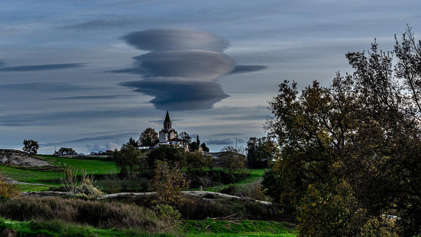

-
CAT -
CAST
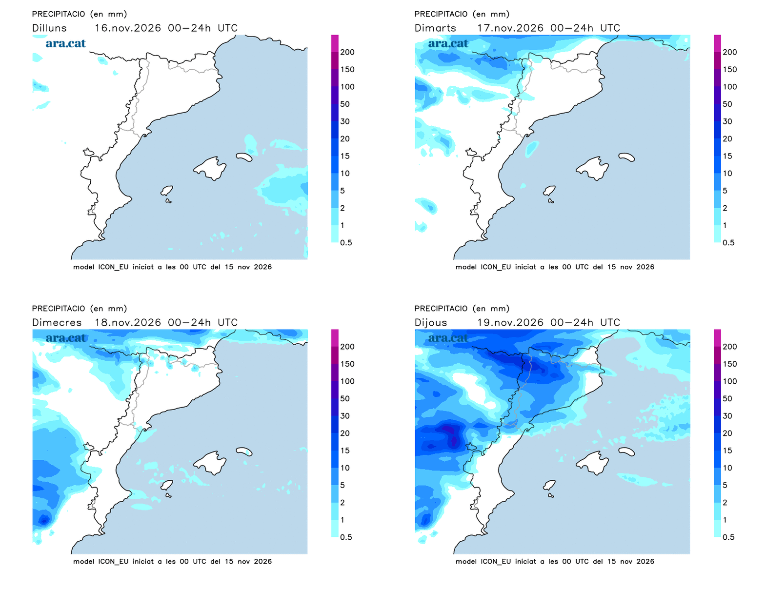
BarcelonaThe week will start with a mild atmosphere, thin clouds and fog in the inland plains. A large Atlantic depression will send fronts to our latitudes, but without much activity. The rain generated by this storm will fall in the west and the center of the peninsula, but its air masses –humid and unstable– will leave all their humidity throughout the peninsular territory. Upon reaching our country they will only provide some drizzles or a sky covered by high clouds.

Variable Monday, but mild
Few changes at the start of this week, with the passing of thin clouds, with nothing more than a cobwebbed sky, at times more overcast, but which will not let go of a single drop. Fog banks will reappear, once again, in the north of the Central Depression, as well as in some pre-Pyrenean basins. They will be quite persistent and in some cases will not end up clearing, remaining as high fog during the afternoon.
The temperature will drop a little early in the morning, with minimums between 6 °C and 11 °C inland. On the coast, they will move around 15 °C. The environment will be mild during the day and the maximums will move between 17 °C and 19 °C, with values of up to 22 °C in the Terres de l'Ebre. The wind will blow weakly, from the west in the morning, and with a little more strength during the afternoon, and will turn to south-west on the coast.
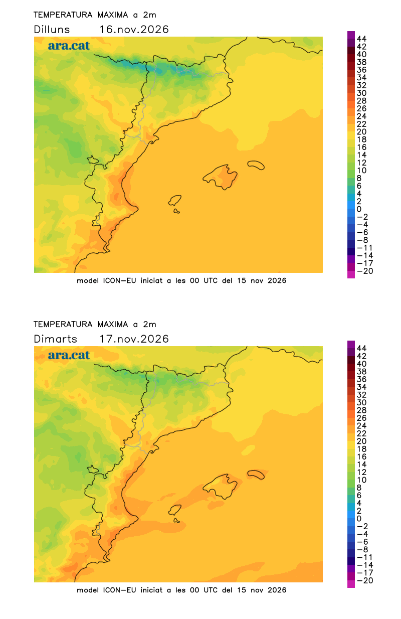

Week with worn-out fronts and high temperatures
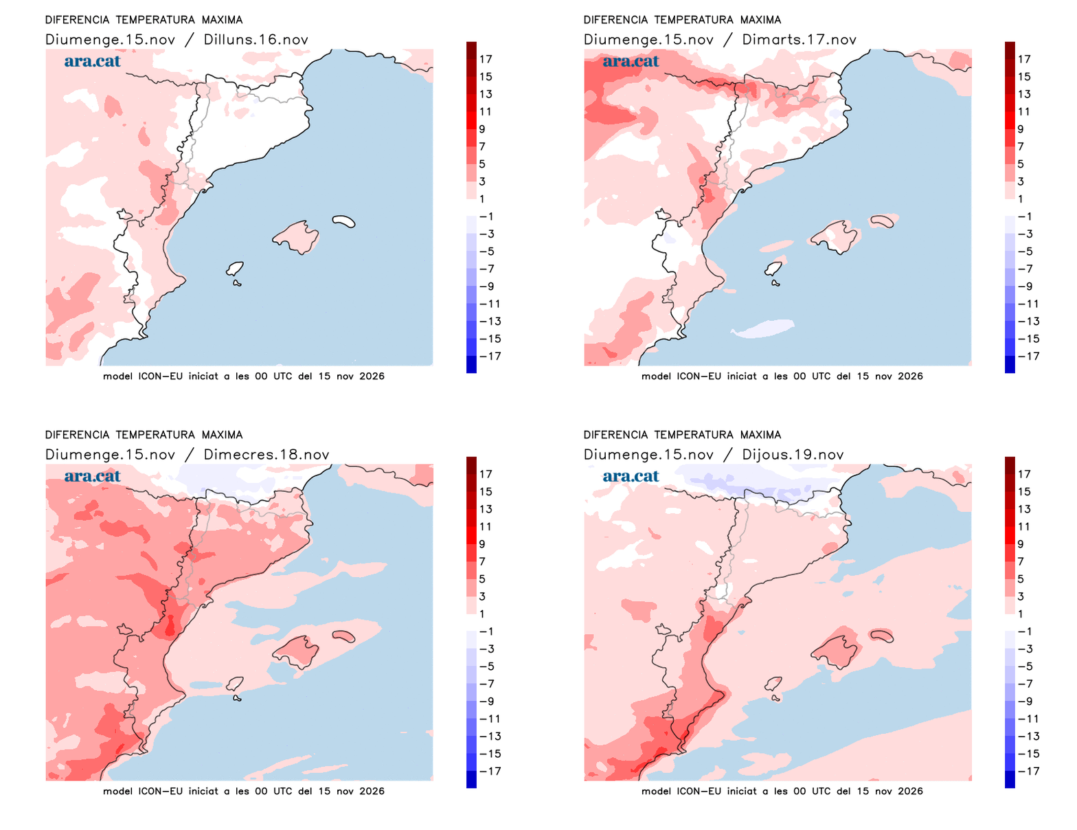
Much of the week –until Friday– will be marked by a similar trend, that is, the passage of worn-out Atlantic fronts. Between Tuesday and Wednesday, a warm front will make the thermometer rise and send more bands of high clouds, with some drizzles in the West and the Lleida Pyrenees. Sunrises and sunsets will be very photogenic due to the reddish skies. The temperate westerly winds will make the thermometer rise and the feeling will be closer to the end of September than November. Temperatures will remain between 3°C and 5°C above what would be expected on the coast or pre-coast, with maximum values close to 24°C in the Empordà, on the coast, or in the Ebro region. The southwest wind will strengthen on the coast and will cause rough seas or heavy seas on the central coast or the Costa Brava.
On Thursday, a slightly more active front will cross, which could leave some more widespread rain, but, in general, it will be weak.
Towards the end of the week, the thermometer may drop a little and approach the normal values for these dates.
Accumulated rainfall on Saturday:
- Ulldecona: 46 l/m²
- Batea: 29 l/m²
- Maials: 22 l/m²
- Mas de Barberans: 20 l/m²
- Hostalets de Pierola: 20 l/m²
- Aldover: 18 l/m²
- Castellbisbal: 11 l/m²
- Rainfall: 9 l/m²
