Changing weather the weekend for the passage of new Atlantic fronts
Sky very variable due to the presence of bands of clouds, but little rain and a more autumnal atmosphere

-
CAT -
CAST
BarcelonaCalm and sun have dominated this Friday in most regions, with only remains of some local and weak showers in the northeast and the Pyrenees. But this weekend the weather will be very changeable, as we will continue under the indirect influence of a train of Atlantic storms. Saturday there will be intervals of clouds everywhere and some scattered and minor showers will arrive in the western regions, especially in the Pyrenees and the western Pre-Pyrenees, due to the effects of a Bruna storm already weakened that will end up disappearing completely. Sunday morning the sun will dominate, but throughout the day the cloudiness will increase again from west to east due to the approach of a new worn-out Atlantic front. Temperatures will drop a little more, with a more autumnal atmosphere, both day and night.

Saturday: a dull day
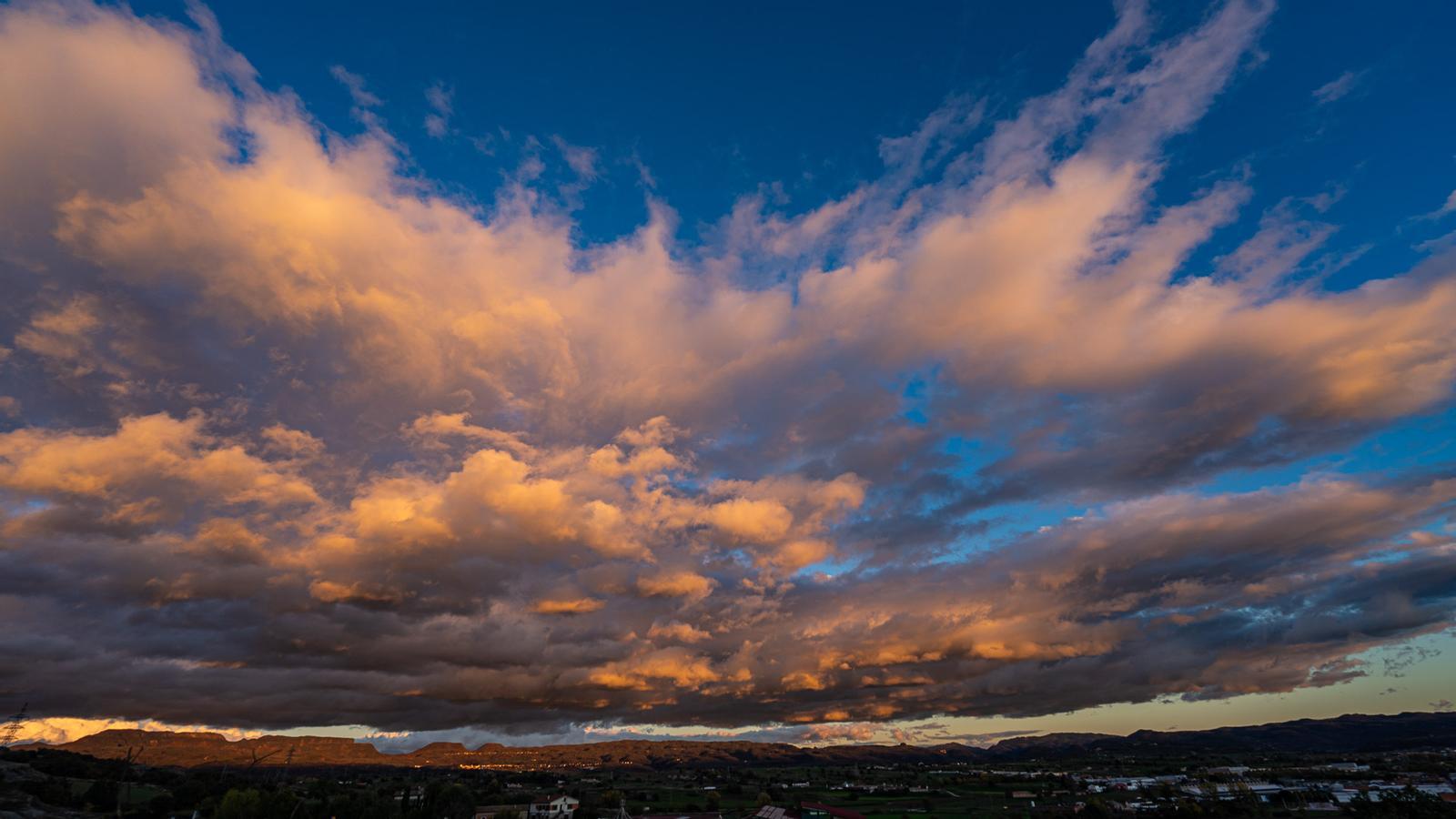
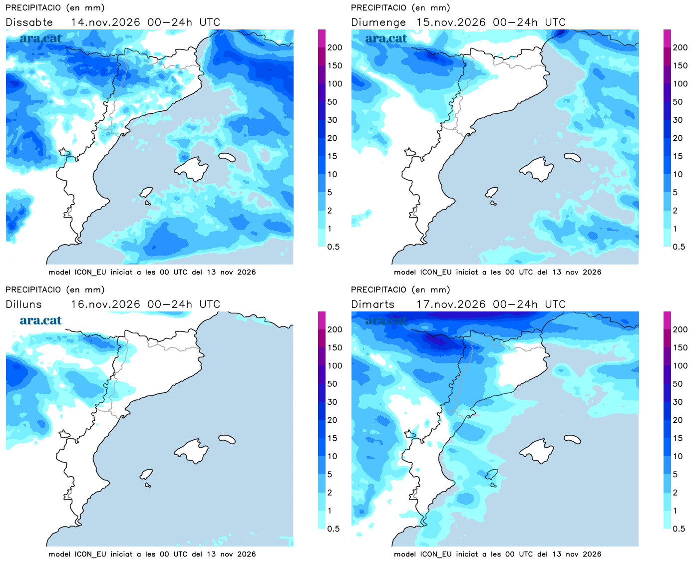
This Saturday the sky will be changeable or partly cloudy due to the passage of bands of high and mid-level clouds from west to east. The cloudiness will be more compact in the north of the Lleida regions, and more broken in the northeast. In the morning there will also be fog, and throughout the day there will be light and scattered drizzles or showers in the West and the Ebro. Very little overall, although in the Pyrenees and the Pre-Pyrenees of Lleida the showers may fall with more intensity. Elsewhere, a fleeting drizzle cannot be ruled out, although it is unlikely that it will rain.
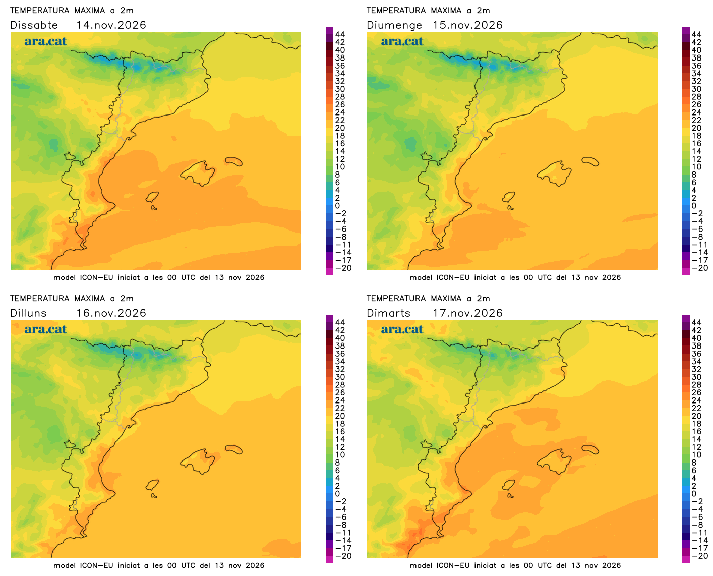
All this with temperatures that will drop a little more in general. Only the maximums may rise slightly in the regions of Girona. At first, it will be quite cool in general and cold in mountain areas and nearby zones. At noon the environment will be between cool and mild, with many maximums of 16 to 21 ºC. The wind will no longer be news anywhere.
Sunday: from sun to clouds
Sunday morning will be calm and mostly sunny, with the exception of fog, which may be abundant inland. However, throughout the day, the approach of a new, weakened front associated with another Atlantic storm will cause cloudiness to increase rapidly from west to east.
The sky may even become overcast in the afternoon in the western half of the country, where some light rain or scattered showers will arrive, especially in the Pyrenees and the Pre-Pyrenees of Lleida and in the Ebro region. On the other hand, towards the coast and the pre-coastal areas of Barcelona and Girona, there will be more variability and clearings.
Temperatures will drop a little further, with a full autumn atmosphere both day and night, and many highs between 15 and 20 ºC. And next week we will continue under this atmospheric river from the Atlantic, with changing weather, very little rain, and no major drop in temperatures in sight.