Detected the first effects of the super-El Niño in Catalonia
The storm ‘Charles’ is one of the first signs of the global phenomenon in our home
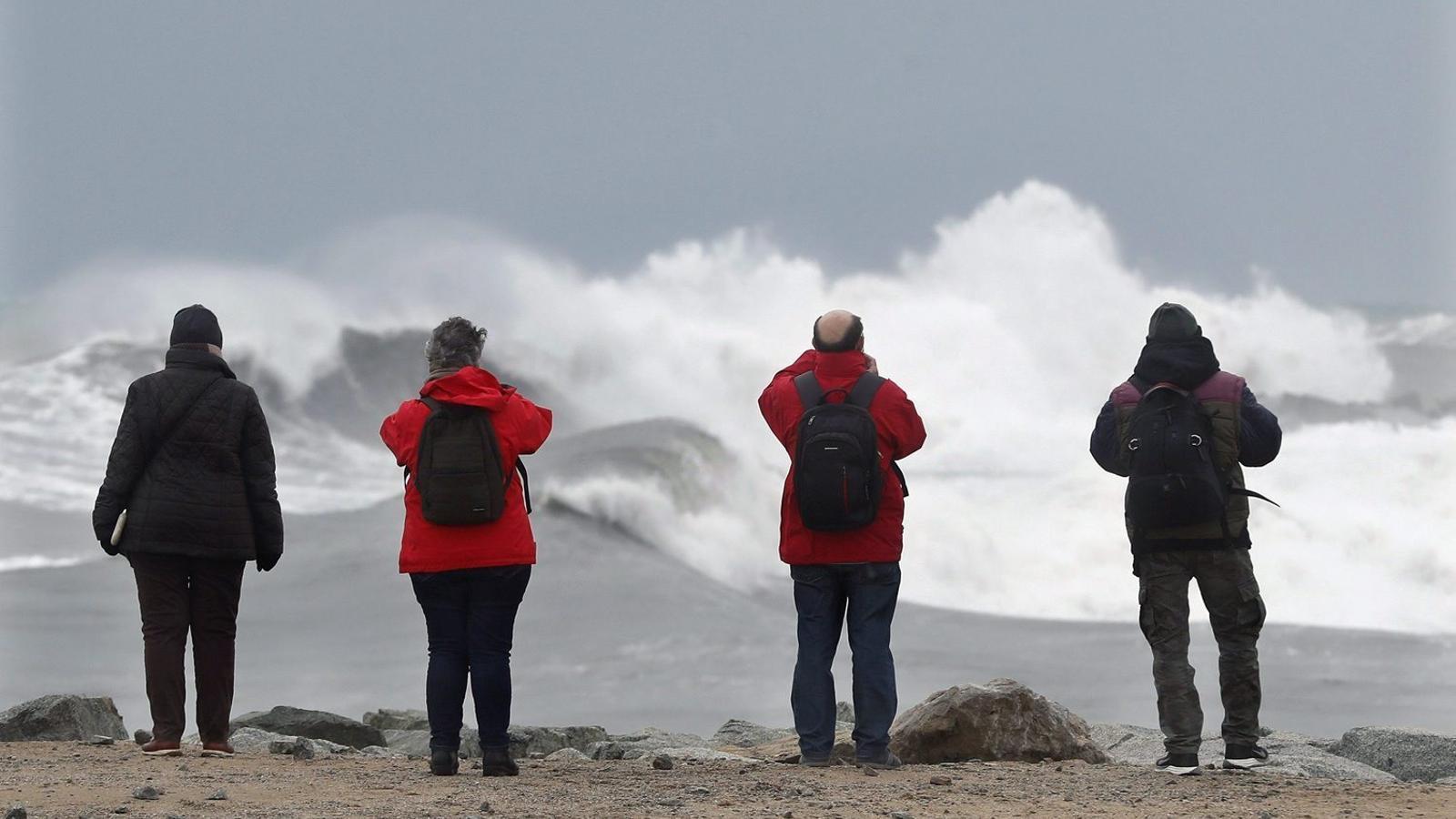

BarcelonaThe El Niño episode that began this year continues to gain intensity unstoppably and has already reached the category of very strong, the highest possible. From the beginning, it has been classified as a super-El Niño, and forecasts already indicated that it would be the strongest since records have been kept. Now, the data are confirming it. Its effects have been evident in recent weeks in various parts of the world, far from our home, but, for the first time this year, the first signs of this global phenomenon have also been detected in Catalonia.
El Niño is a phenomenon that takes place in the Pacific and causes alterations in the climate around the planet, especially in the regions under the direct influence of the great ocean. In the rest of the world, its effects are more irregular, but, as there is an alteration of climate patterns on a global scale, this can indirectly cause more extreme or unusual meteorological phenomena. It is like a domino effect in the form of atmospheric waves that spread from the zero zone towards the entire Earth. In this sense, the Meteorological Service of Catalonia (Meteocat) has already detected two signals that indicate the first possible effects of the super-El Niño in Europe.

The clearest sign that the first atmospheric teleconnections between the Pacific and the North Atlantic are occurring—and which already has consequences—is the formation of an atmospheric river that reached the Iberian Peninsula this week from the Caribbean zone. It is an extensive strip of water vapor transport that channels large amounts of humidity from tropical and subtropical regions. When this mass of humid air reaches more northern latitudes, such as ours, and is forced to rise, it can favor the formation of abundant precipitation.
“The Ciarán disturbance is an example of the effects of El Niño here, in Catalonia,” asserts Sarai Sarroca, director of Meteocat, in statements during an informative session about this phenomenon. Therefore, the episode of rain and gusts of wind from the last few hours are the first effects indirectly related to the super-Niño here at home, since they were caused by this subtropical-origin storm born in the river we mentioned above.
“We have verified that the circulation in the North Atlantic, especially in the subtropical zone, is starting to alter; this causes the storms that are starting to affect us or that could affect us during the coming weeks and months to arrive loaded with much more humidity than they would have in a normal situation,” explains Toni Barrera, climate change technician at Meteocat.
“A small drought cannot be ruled out”
Therefore, the super-El Niño has begun to strengthen and alter what is known as the subtropical jet stream, which is a very intense air current that circulates at high altitude in the subtropical zone of the planet. Normally, it moves from west to east and contributes to regulating atmospheric circulation. When it is altered or shifts from its usual position, it can modify the paths of storms and favor extreme weather situations.
Usually, this situation causes very heavy rainfall in the west of the Peninsula. In Catalonia, the most abundant rain is recorded on the southern side of the Pyrenees, good news considering that this area is suffering from a small territorial drought. On the other hand, in the rest of the country, precipitation tends to be scarcer, as it arrives weakened after crossing all the peninsular massifs. Strong winds and maritime storms also occur. And, generally, warm south-westerly winds dominate.
“The forecasts for the coming months indicate that this situation of south-westerly winds could have a high frequency,” notes Barrera. In this sense, the long-term forecasts for the coming months from the European Centre for Medium-Range Weather Forecasts (ECMWF) provided by Meteocat point to a high frequency of these atmospheric rivers, a reduction in precipitation, and a significant increase in temperatures. “A small drought cannot be ruled out,” warns Barrera regarding the coming months.
The polar vortex, the other signal
The other signal that has been detected indirectly related to the super-El Niño is an aspect that we have already explained in ARA: a weakening of the polar vortex has been recorded, the large circulation of intense winds that rotates in the stratosphere around the North Pole and keeps cold air concentrated in the polar regions. According to Meteocat, forecasts indicate that it could break around November 23 or 24. If this happens, it would be the earliest breakup ever recorded and could favor the eruption of Arctic air masses and storms towards lower latitudes than usual, with possible episodes of cold in Europe and America and changes in rainfall and temperature patterns in Catalonia.
“Depending on what this cold air displacement is like and how it alters wind circulation, we could have some occasional episode of extreme cold at home,” says Barrera. “El Niño causes an alteration in the climate system that spreads throughout the Earth; therefore, it can interfere with other atmospheric phenomena or circulations, such as the polar vortex,” he adds.

A record-breaking super-El Niño
El Niño occurs when the surface waters of the central and eastern equatorial Pacific warm above usual levels due to an alteration in the trade winds. The current episode has already exceeded 3 °C of thermal anomaly in October and, according to forecasts, could reach 3.5 °C or 4 °C between December and January. It would thus surpass the 2015-2016 super-Niño, until now the most intense since records began, which neared 3 °C. All of this is in a context of global warming that could aggravate its effects and generate consequences that are difficult to predict.
With the latest precedents, in Catalonia there is no clear relationship between El Niño and more rain or drought. The times we do notice its effects, they reach us later and indirectly. According to Barrera, these effects “are more likely” when a super-Niño like the current one occurs. In Europe, the main repercussions could be noted especially during the winter and spring.
Meteocat reminds us, however, that Catalonia already has a climate that is highly altered by the context of the climate crisis, with increasingly high temperatures and extreme phenomena. This summer has been the warmest in history and this autumn extraordinary downpours have been recorded, episodes that have no relation to the super-Niño. We will see what happens in the coming months.
