The forecasts did not indicate so much rain: what has happened?
The downpours of this Monday have been a surprise after the storm of the weekend

-
CAT -
CAST
BarcelonaCatalonia is experiencing a very rainy start to the month of October on the coast and pre-coastal areas, where water accumulations are in some cases extraordinary. In autumn it is normal for it to rain heavily, but the magnitude of the episodes that are taking place and their torrential nature are at a level rarely seen. These are the effects favored by the climate crisis and the warming of the sea. However, this Monday's downpours stood out because the forecasts did not indicate that it would rain so much.
In fact, the historic rainfall episode of the weekend was not clearly predicted until a few hours before. What is technically known as a mesoscale convective system (MCS) was generated – a large group of storms that forms and regenerates from the sea as if it were a single system – which was extraordinary. And in the case of this Monday, the maps did not indicate so much rain, but only the appearance of irregular showers and thunderstorms on the coast and pre-coastal areas, since we are in a poorly defined zone of instability. Finally, however, a second MCS ended up forming, which left new downpours. But why was there such a large difference between what the meteorological models indicated and what ended up happening?
Meteorology has one of its most difficult limits here. The models are extraordinarily good at describing where there will be more instability or how a storm will evolve, but a strong convective storm depends on much smaller processes. For example, in an Atlantic climate it is known when and how a rain front will arrive. But in the Mediterranean, uncertainty is the order of the day. A storm or a zone of instability can cause drastic changes in the forecast.

Meteorological models find it especially difficult to predict these episodes of torrential rain because they depend on very local and small-scale phenomena, such as convective storms, which can form, intensify, or shift a few kilometers and completely change the precipitation map. In such situations, small differences in temperature, humidity, or winds can end up generating large errors in the forecast, especially regarding where and when the most intense rain will fall. These uncertainty factors in the Mediterranean are accentuated by the climate crisis. This Monday's event is a good example.
A sea that is boiling
For these storms to be able to grow like this, they need fuel. And this fuel is, above all, water and heat. The summer has been the hottest in history in Catalonia, and the Mediterranean water arrives in the autumn extraordinarily hot, with more than two or three degrees above the average. And it is not an isolated event, since this warming has been consolidating for years. The Mediterranean that feeds these storms is not the same Mediterranean as decades ago.

A warmer sea evaporates more water and contributes more humidity to the air circulating above it. If this mass of humid air subsequently encounters an unstable atmosphere, it can rise rapidly, condense the vapor, and transform it into an enormous amount of precipitation. "The fact that we have such a warm sea is the origin for any spark to trigger such torrential rain, and this has been the main reason for the episodes we are experiencing," explained the director of the Meteorological Service of Catalonia (Meteocat), Sarai Sarroca, in a press conference. “It is not a DANA situation, nor a situation like that of Gloria or an easterly storm, nor a cold frontal system; we are talking about lines of instability that have ended up forming another mesoscale convective system,” she added.
Almost tropical conditions
The combination that has occurred these days is particularly significant. High humidity, a very warm sea, atmospheric instability, and little capacity for storms to move quickly can generate behavior that resembles that of tropical regions. In fact, over the weekend some scenarios even raised the possibility that the system could develop a circulation similar to that of a medicane –a small Mediterranean hurricane–, which ultimately did not occur. But the possibility itself is an indicator of the exceptional nature of the scenario. There has been talk for some time about the tropicalizationof the Mediterranean.
What did occur was a very powerful MCS with associated cyclonic characteristics, with extraordinary torrential rain and strong wind gusts. Since the weekend, many records of between 200 l/m² and more than 300 l/m² have been reached, especially on the coast and pre-coast of Barcelona, most of which fell in a few hours. For example, in Granollers, 68 l/m² fell in just half an hour over the weekend, and with the heavy downpour on Monday, nearly 350 l/m² have accumulated in three days, an extraordinary figure.
This has left several rainfall records in a few hours or in one day, as is the case of Can Bruixa in Barcelona, where the 213 l/m² that fell during the weekend episode had never been recorded in 24 hours. Figures that evidence the historic rains we have experienced and that have caused many flash floods.
The land, drowned in water
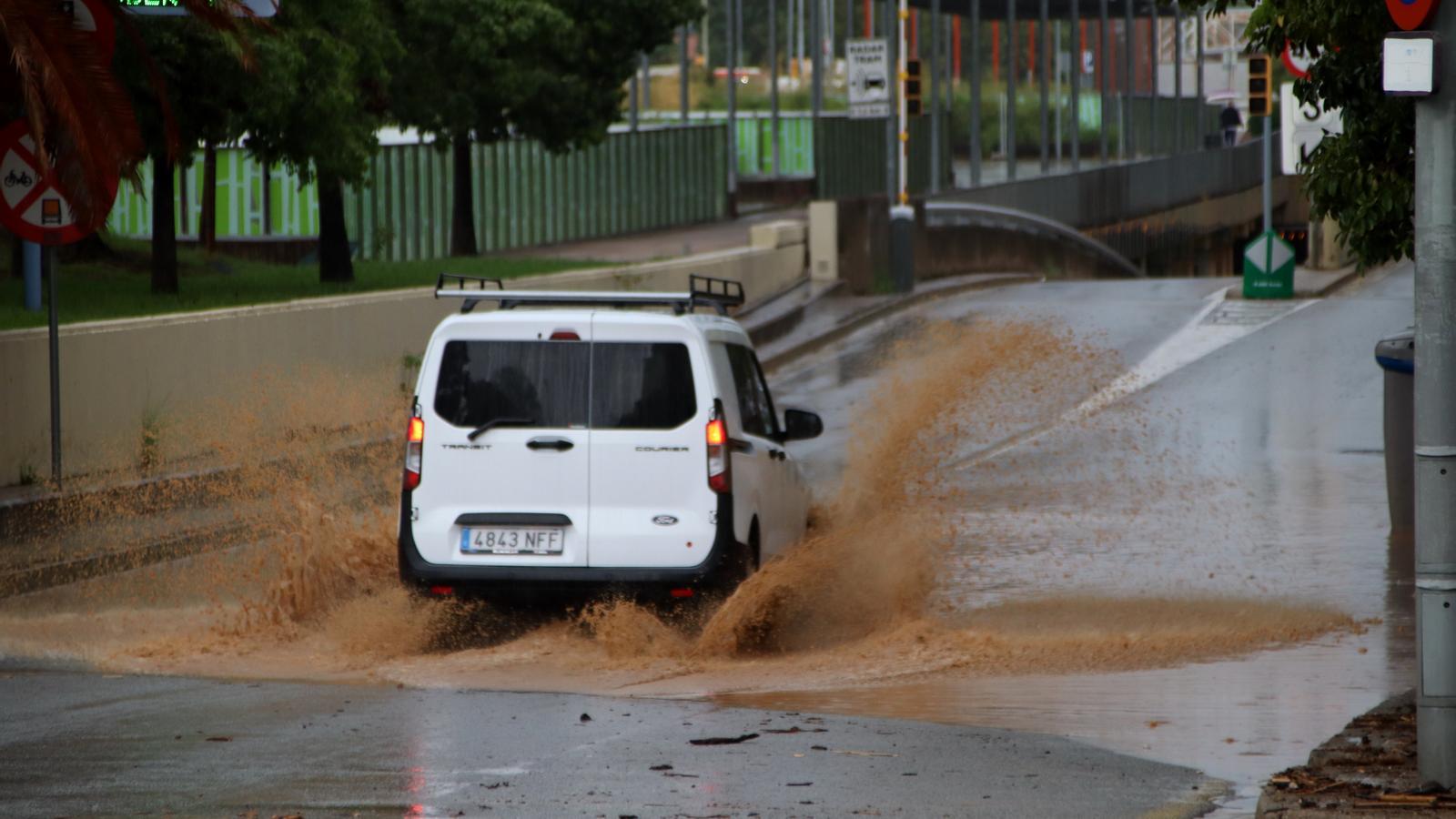
After the very abundant rain that fell over the weekend in parts of the coast and pre-coast, the ground is completely soaked and no longer absorbs any more water. A second round of precipitation can be much more dangerous than the first in these areas, as it is raining on wet ground. This is what happened this Monday in Vallès Oriental, where more than 100 l/m² that fell in a short time quickly caused flooding and the overflowing of rivers and streams.
And watch out, because it may still rain more in the coming days. "This unstable situation, the result of a very hot summer and a large load of water available in the sea, which is the fuel for these downpours and convective systems to form in Catalonia, will continue over the coming days," warned the head of the Meteocat forecasting area, Santi Segalà.
