3 cm: the rise in sea level caused by the melting of Greenland and Antarctica
The polar ice caps have contributed a third of the total sea level rise since the 70s, and their melting is accelerating
-
CAT -
CAST
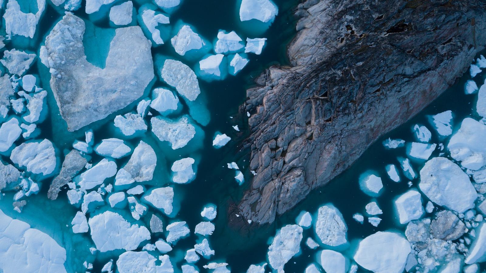
Sea level rise is one of the impacts of the climate crisis that are already irreversible, as the UN warns. As the oceans warm, water rises mainly due to a phenomenon of thermal expansion, and to this is added the water poured in by both melting terrestrial glaciers and the continental ice of the poles as it thaws. It is precisely this last cause, the melting of the polar ice caps, that has been accelerating the most in recent years. Now, a new study published in Scientific Data, from the Nature group, offers the most precise portrait obtained to date on ice loss in Greenland and Antarctica.
Since the 1970s, these two territories have lost 11.3 trillion tons of ice, and this has caused sea levels to rise by 3.1 centimeters, according to the study prepared by the international team of polar scientists IMBIE, with the support of NASA and the European Space Agency (ESA). This rise is a quarter of the total of approximately 11 centimeters that the sea level has risen in this same period (adding, as we said, the melting of terrestrial glaciers such as those in the Himalayas or Alaska, in addition to the effect of thermal expansion).
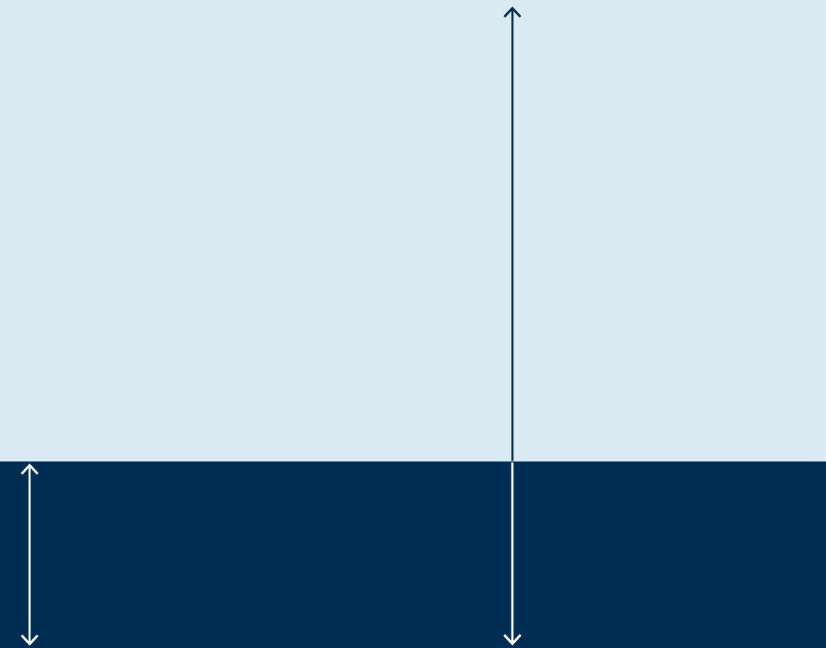
+110 mm
Ice loss in Greenland
and Antarctica accounts
for a quarter of all
sea level rise recorded
on the planet. This is
3 centimeters out of a
total of approximately 11 cm
calculated to have risen
in the oceans since last century.
+31,49 mm
Three centimeters of sea level rise may seem
like a small amount, but put between six and
nine million more people at risk of coastal
flooding and erosion, the study authors warn.
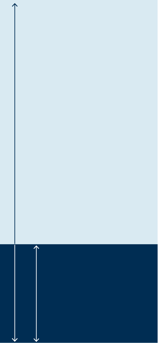
+110 mm
Ice loss in Greenland
and Antarctica accounts
for a quarter of all
sea level rise recorded
on the planet. This is
3 centimeters out of a
total of approximately 11 cm
calculated to have risen
in the oceans since last century.
+31,49 mm
Three centimeters of sea
level rise may seem like a
small amount, but put between
six and nine million more
people at risk of coastal
flooding and erosion,
the study authors warn.
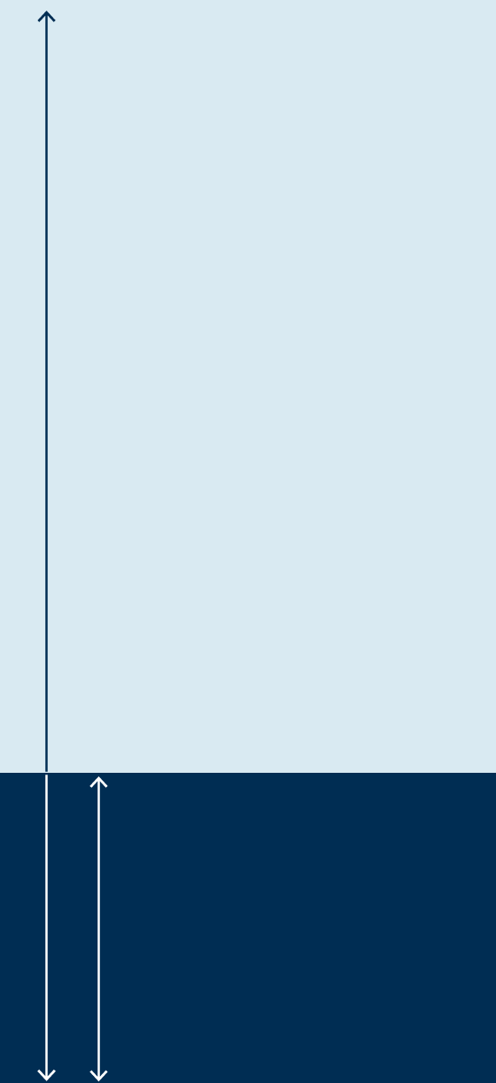
+110 mm
Ice loss in Greenland
and Antarctica accounts
for a quarter of all
sea level rise recorded
on the planet. This is
3 centimeters out of a
total of approximately 11 cm
calculated to have risen
in the oceans since last century.
+31,49 mm
Three centimeters of sea
level rise may seem like a
small amount, but put between
six and nine million more
people at risk of coastal
flooding and erosion,
the study authors warn.
Melting polar ice caps
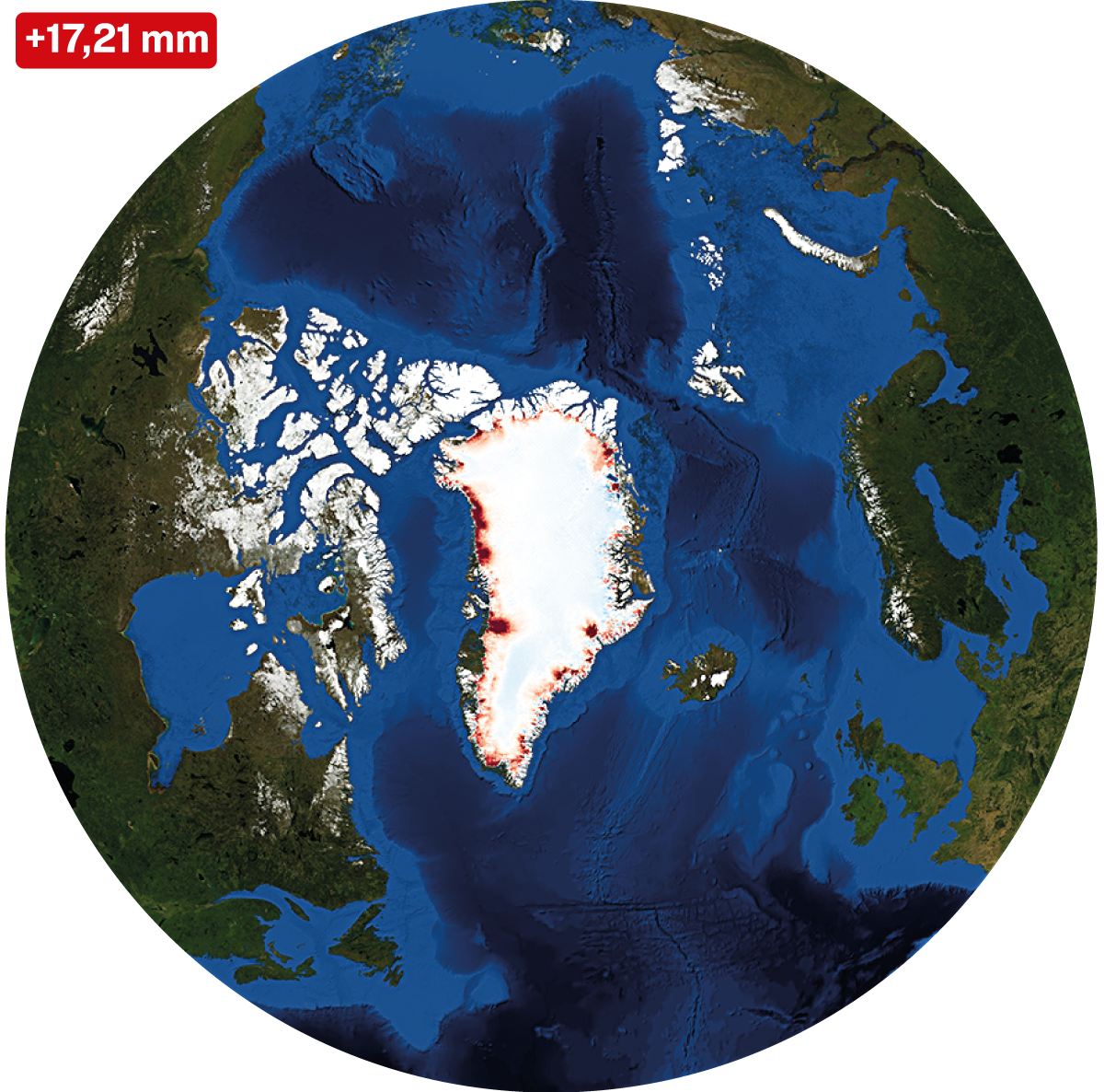
Why do we talk about Greenland and not the entire Arctic? Because the ice on this island—like that of Antarctica—is continental ice, which when it melts pours new water into the sea. The sea ice that covers the North Pole, on the other hand, is already floating on the water and, therefore, its melting does not raise the sea level.
From the glaciers to our coasts
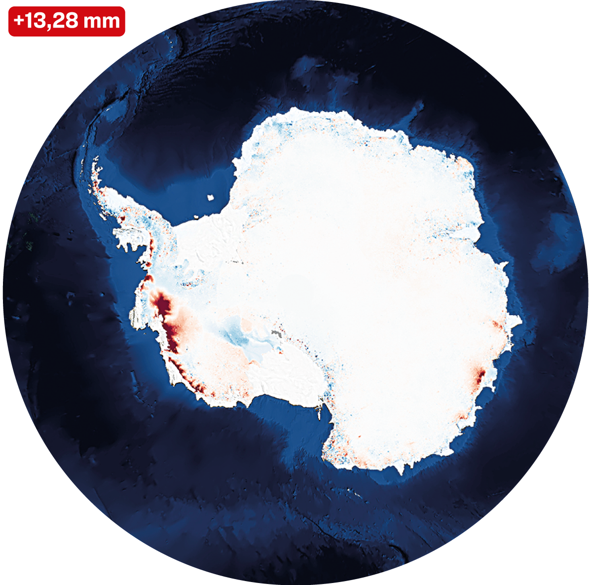
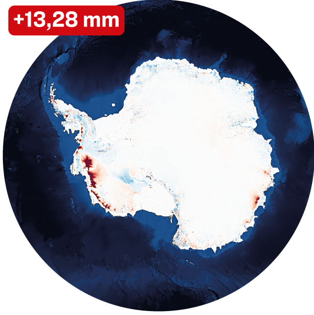
The new study has analyzed satellite data from the last three decades –with software developed by the Catalan company IsardSat– and they have detected the areas that have lost the most ice. Thus, we know that within Antarctica not all regions are melting at the same rate: the one that has poured the most water into the sea has been the western zone, while the Antarctic Peninsula and especially the east of the continent have poured much less.
Antarctica as a whole has raised sea levels by 1.3 cm since 1979, the first year for which data is available. But Greenland, despite being almost seven times smaller, has caused a rise of 1.7 cm since 1971. Both together add up to 3.14 cm since 1979, the year in which data began to be available for both.
The new study also details that 84% of the ice loss from these two land masses has occurred in the glaciers, while only 16% comes from ice that melts on the Earth's surface and ends up in rivers and aquifers. Data that confirms that what happens with these large masses of ice will be the decisive factor in the advance of the coastline over the coming decades.


