A clear end to this long episode of intense heat is not seen
The temperatures will rise a little more this Sunday, with a lot of heat and stuffiness
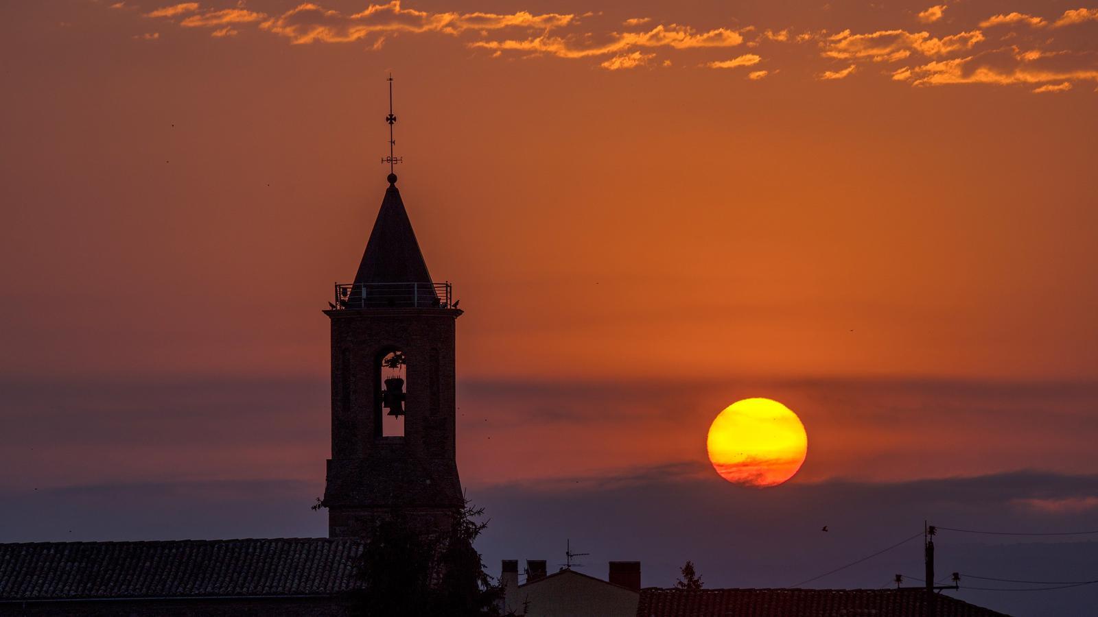


The month of August has begun just as July ended: with intense heat. Yesterday was a very warm day overall and muggy in many regions, especially near the sea. Temperatures dropped inland and in the north, mainly due to the presence of more suspended dust and intervals of clouds, and 40 ºC was no longer reached anywhere. But the news were the afternoon showers and thunderstorms, which fell heavily in parts of the Pyrenees and Pre-Pyrenees -especially in the eastern part- and in the Ports. In fact, they reached more places in the northeast and the Ebro region. In some cases, there were real downpours that left, as the most notable records, up to 40 l/m² in Castellar de n'Hug (Berguedà) or 38 l/m² in Molló (Ripollès) in a short time, even with hail or sleet and strong winds. Real summer storms, fueled by so much accumulated heat.
This Sunday afternoon some of these showers will be repeated in parts of the Pyrenees, Pre-Pyrenees and Ports, although they will be less extensive and intense than yesterday. Where it rains heavily, it cools down suddenly, but in the rest of the country the heavy atmosphere has continued. And this Sunday the thermometers will rise a little more, with suffocating weather and new irregular afternoon showers in the Pyrenees and the Ports. Next week temperatures will continue to be well above average, and there is no clear end in sight to this heat episode.

Sunday: suffocating day
Temperatures will rise a little more, both minimum and maximum. The night has once again been generally mild to warm, with many tropical lows and some scorching ones in coastal and southern spots, where the atmosphere has remained heavy and sultry, especially in densely populated areas. Meteocat maintains the alert for night heat in the coastal regions of the southern half, both today and in the coming days.
In the middle of the day, many maximums will range between 35 ºC and 40 ºC in the pre-coastal areas and inland, with the highest values concentrated in Ponent, Conca de Tremp, or in pre-Pyrenean valleys. It will be another suffocating day.

All in all, with sun and calm in the morning, with the permission of some traces of thin clouds – especially in the southern half – and some low morning clouds in the Ebre and in some coastal stretch. In the afternoon, cloudiness will increase again in mountainous areas, leaving some irregular showers and thunderstorms in parts of the Pyrenees, Pre-Pyrenees, and the Ports area. In principle, they will be less intense and extensive than on Saturday, but some local downpours are not ruled out.
Unrelenting heat for days
Looking ahead to next week, temperatures will continue well above average, with only a few ups and downs. Unlike what the maps showed days ago, there is no clear end in sight to this long episode of intense heat, and it seems this situation will last almost until the end of the month.
On Monday and Tuesday, more showers and thunderstorms will fall in the northern half of the country, and on the other days, some showers will be repeated in the Pyrenees. Water that, where it falls, will be accompanied by mud, but will also help to cool the atmosphere a little in the afternoons.
