The weather is improving, but it will not be completely clear in the coming days
Friday will be dominated by sun, but the weekend will be variable and with some showers

-
CAT -
CAST
BarcelonaThe passage of storm Charles through our area has left westerly winds that yesterday recorded a maximum gust of up to 150 km/h at Puig Sesolles (1,666 m) and more than 70 km/h in areas such as Ponent and the pre-coastal region of Barcelona. All this after the round of general rains that left between 10 and 30 l/m² in many counties, but higher records on the coast and pre-coast of Barcelona, in counties of Lleida and, above all, on the south face of the Pyrenees and the Pre-Pyrenees, where more than 50 l/m² were exceeded. The instability will decrease this Friday, with more calm, but the weather will not clear up for the weekend and we will have a bit of everything, with little rain in sight and temperatures that will not be as warm or mild as in recent days.

Friday: calmer
The weather will be calmer this Friday. The sun will prevail in most regions, and the westerly wind will decrease and will only affect some points in the southern half of the country. Wind between the north wind and the mistral will also blow in the north of the Alt Empordà and the Roussillon.

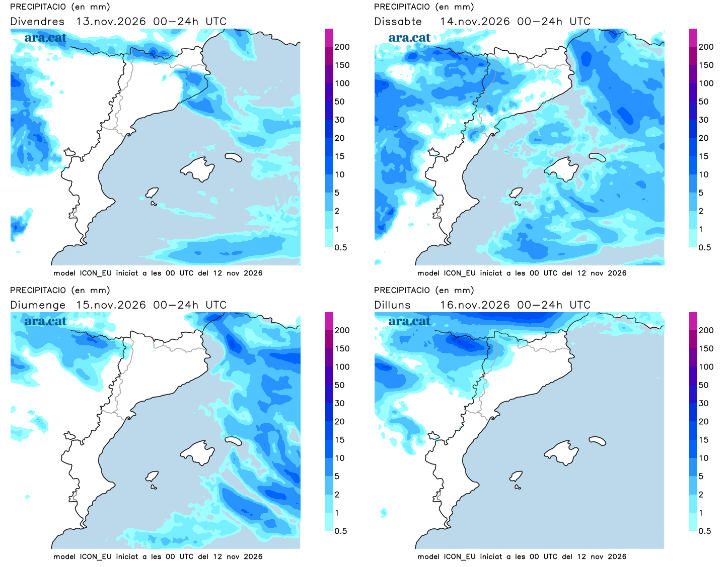
Despite this improvement, there will be nuances. In the morning there will be many fogs in the northern interior and remains of some intervals of clouds, which will be more abundant and may leave some drizzle in the Lleida Pyrenees. Towards the afternoon, clouds will grow in the northeast that will cause some local and scattered showers, especially between Ripollès and the Costa Brava. Not much, all in all. In addition, the disturbed maritime situation will be maintained.
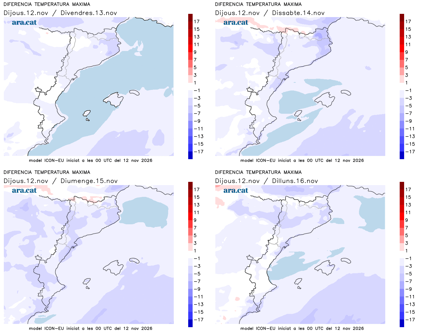
Regarding temperatures, they will drop both by day and by night. Early in the morning the cool will be more marked, and in the middle of the day the mildness will continue, but with more restrained maximums that will no longer exceed 25 ºC as has happened in recent days.
Changing weekend
In the coming days we will continue with the dynamic of worn-out Atlantic fronts. Therefore, throughout the weekend the sky will remain changeable, with a bit of everything, but very little rain in sight. On Saturday there will be more intervals of clouds and some weak and scattered showers will escape. On Sunday, the most likely showers are expected from the afternoon onwards in the west of the country, with a strengthening of the south wind on the coast. All this with temperatures that will drop a little more but without any significant cooling in sight.