The super-Niño of this year is already historic: its effects in Catalonia and in the world
The meteorological models draw the effects of this powerful phenomenon in our home in the coming months

-
CAT -
CAST
BarcelonaWhat is happening in the equatorial Pacific is historic. This year's super-El Niño is already recording extraordinary values that shatter all records, including those reached during what had been the most intense one since records began, the 2015-2016 event. "This El Niño is already the strongest ever recorded, an extraordinary event that is having a global impact," highlights Carlo Buontempo, director of the Copernicus Climate Change Service, in statements to ARA.
The data are particularly significant: the temperature anomaly of the surface waters in the El Niño ground zero zone in the Pacific has recently reached a daily peak of 3.5 °C above average, and has surpassed the maximum warming peak of 3 °C reached in 2015. That super-El Niño registered an unusual average oceanic temperature overall, with an anomaly greater than 2.6 °C, and it is estimated that this one—which will reach its peak around Christmas—could exceed that historical figure by more than a degree. "Clearly, there is an impact from climate change, because El Niño is a natural historical phenomenon, but now it is taking place in a world that is already much warmer than normal," explains Buontempo.
This phenomenon has the ability to influence the functioning of the climate on a planetary scale. The warming of the equatorial Pacific alters atmospheric circulation and modifies the usual patterns of precipitation, wind, and temperature in regions far from its origin. “El Niño is like a sudden jolt to the climate system that propagates both at the surface and in the atmosphere, through planetary or Rossby waves,” explains Toni Barrera to the ARA, a climate change technician at the Meteorological Service of Catalonia (Meteocat).
The effects are uneven across the planet: while some regions suffer from droughts, extreme heat, and fires, others register torrential rains and floods. Right now, in Peru, the warming of the sea is already affecting fishing and favoring downpours, while the Atacama Desert (Chile) is experiencing exceptional rain and floods. In Central America, drought and heat predominate, with impacts on agriculture and food security. The Horn of Africa, especially Somalia and Kenya, is suffering from abundant rains and floods, while Indonesia is facing drought, historic fires, and episodes of pollution. Australia is beginning to notice the heat and the lack of precipitation, and in the western Pacific, the super-typhoon Champireached an exceptional intensity in October, while hurricane activity in the Atlantic has been drastically reduced.
All these direct effects of the super-Niño take place in a context of climate change, with an atmosphere and oceans that already start from a very high level of warming. A combination with unpredictable consequences.

The effects of the super-El Niño in our region
Catalonia, the Balearic Islands and Europe, despite the distance from the Pacific, can also indirectly experience its consequences. So-called atmospheric teleconnections mean that the alterations that occur in this region of the planet end up modifying atmospheric circulation patterns around the world and create a domino effect. In our case, this can influence the path of storms, the behavior of jet streams, and, ultimately, the distribution of rainfall and temperatures.
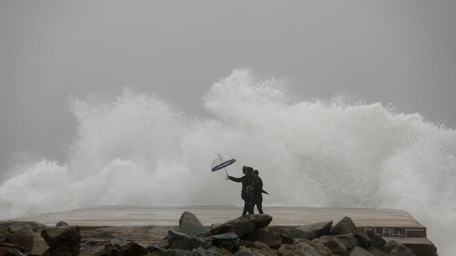
Meteocat already confirmed a few days ago that the first signs and effects of the super-Niño have already reached Catalonia and Europe. The phenomenon has reinforced the subtropical jet, which will increase the number of moisture-laden atmospheric rivers coming from the Caribbean towards our latitudes over the coming months, along with deep Atlantic storms. Last week we already had a taste: the storm Charles had a subtropical origin and brought abundant rain and strong wind to the Peninsula.
“The models maintain a signal of temperate south-westerly wind circulation over the coming months; this will mostly cause a warm environment for the time of year, abundant precipitation on the southern face of the western Pyrenees and little rain elsewhere,” assures Barrera, who points out that Atlantic storms usually bring little water to our region. “There is no indication that we are heading towards an intense drought, but with these forecasts, the eastern half of the country could suffer a situation of mild drought,” he adds.
With these forecasts, winter and spring could see little rain and more high winds in most of Catalonia and the Balearic Islands, which would increase the risk of fires next summer. Snow may also be scarcer in the eastern Pyrenees this winter, where the main headwaters of some internal basins are located which, fortunately, maintain good reserves; on the other hand, it may snow more in the western Pyrenees, with more Atlantic influence. This does not mean that, occasionally, we may receive a visit from a more active storm that leaves more general precipitation. But, overall, the most significant rainfall would remain concentrated in the west of the Peninsula and in the Atlantic influence zones of the continent, “especially in Central Europe,” states Buontempo.
“The climatic alteration caused by El Niño interacts with other atmospheric phenomena around the world, and for this cascade of events to reach us, it must be strong, like this year’s,” asserts Barrera. It is worth noting that, since reliable historical data dates back to the fifties, there are still few recorded strong El Niño or La Niña episodes that provide sufficient conclusive data on their effects in the Mediterranean. Even so, Barrera warns: “Since we had never had such a strong El Niño in a climate system already so altered, the uncertainty of how it will behave is even greater.”

Waiting for the polar vortex
Within this expected Atlantic and temperate situation, there is an exception: the polar vortex. We have already been explaining that this large mass of very cold air that rotates around the poles at a high altitude in the atmosphere has been weakening due to the super-El Niño, and in recent days it has already experienced a "small split," the earliest on record, as confirmed by Barrera. When this happens, the polar stratosphere warms up, and cold air masses can move to lower latitudes in Europe and North America.
The effects of this split are noticed after a few weeks, so until mid-December Europe could experience some brief cold episodes that, in turn, could reach Catalonia and the Balearic Islands. "Forecasts indicate that polar vortex splits will be more common than normal this winter, which can cause more cold episodes, especially in Central Europe," assures Buontempo. Cold episodes have been increasingly rare to see in recent years, but this scenario opens the door to the possibility of experiencing some this winter.
Next year, the warmest of all?
After the peak of the phenomenon, starting in January, the surface waters of the equatorial Pacific should begin to cool rapidly, but forecasts indicate that this process could take longer than normal, until late spring. And the effects of the super-Niño may extend throughout much of 2027. “When the Niño occurs, the following year usually registers a global air temperature peak,” explains Buontempo. “The most normal thing would be for 2027 to break the 2024 world heat record,” the expert warns.
Everything points to 2026 ending as the second warmest year since records began and it will exceed 1.5 °C of warming compared to pre-industrial levels. In Catalonia, it remains to be seen if 2027 will also break the annual heat record, so far held by 2022, which could translate into more heat waves and more extreme phenomena, such as more torrential rain. The only factor that could curb these forecasts would be a hypothetical rapid transition from the super-Niño to a strong Niña. “This would avoid breaking records, but it is still too early to know,” concludes Buontempo.
