Weekend with a full autumn atmosphere and calm weather
The temperatures will go on rising, but they will be kept well in check and with cold nights

-
CAT -
CAST
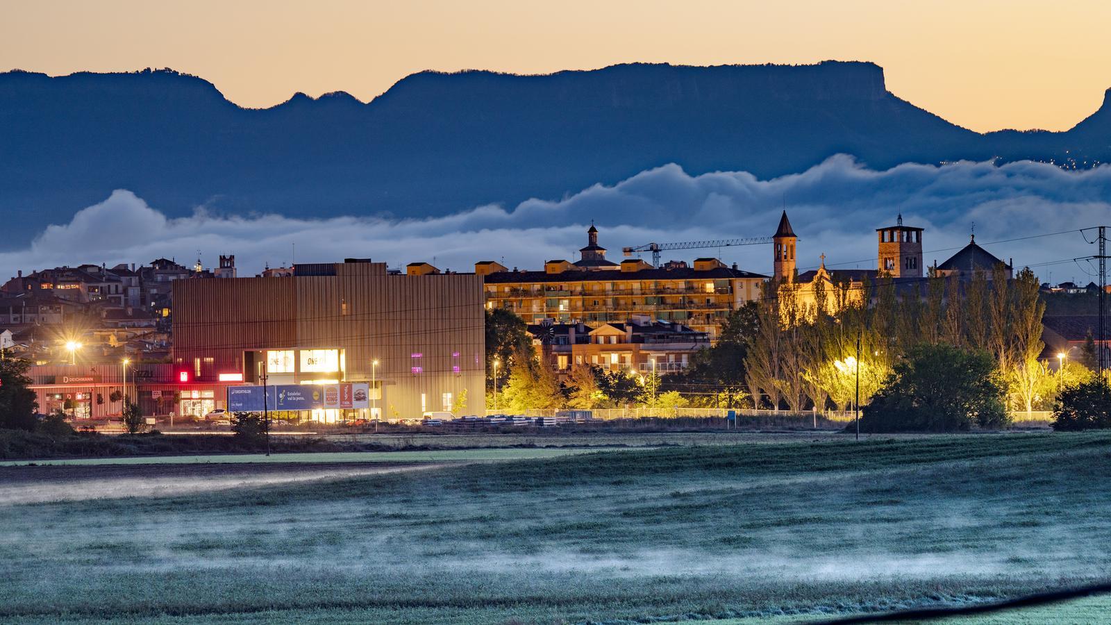
BarcelonaThe weather this Friday has left us with two headlines: the rains have definitively left Catalonia for the first time since October began, and we have had the first taste of cold of the season. We woke up to an atmosphere of late autumn, with many lows of 3 to 8 ºC inland and in the pre-coastal areas, 9 to 14 ºC on the coast, and frosts in the Pyrenees. In the high altitudes, temperatures dropped below -5ºC, and in the Pyrenean and pre-Pyrenean valleys, the -2 ºC low in Das (Cerdanya) and the -1 ºC in El Pont de Suert (Alta Ribagorça) and Guixers-Valls (Solsonès) stand out. The highest maximums only reached 22 or 23 ºC in the south.
A sudden and too intense cold for this time of year that has surprised many people, and first thing in the morning it forced them to quickly retrieve warm clothing from the back of the closet. This weekend, thermometers will gradually recover, but the cold at night and the mildness or lack of heat during the day will remain. No rain is expected anywhere.

Saturday: sun and thermal contrast
This Saturday, sun and calm will dominate everywhere, with practically no exceptions. There will only be a decorative brushstroke of thin clouds, some local low clouds on the south coast, and some harmless afternoon clouds in the Pyrenees. Until the morning, the north wind will blow at both ends of the country, but in the afternoon, only the tramuntana will remain in Alt Empordà.
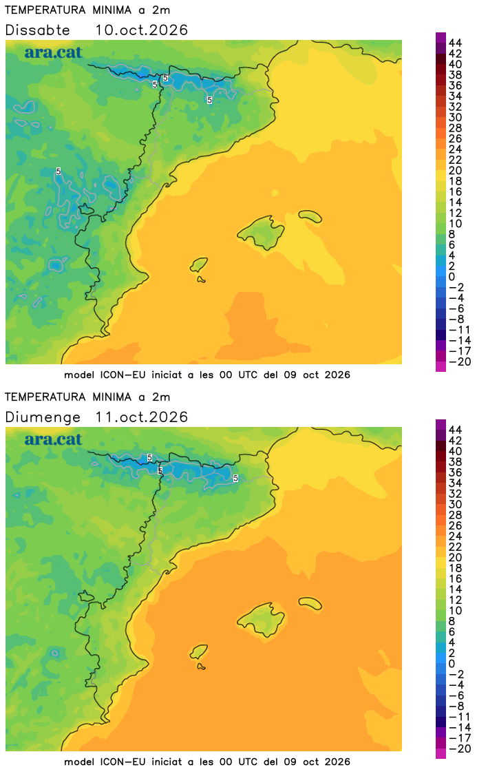
Temperatures will rise, both by day and by night. The increase will be especially notable at mid and high altitudes in the Pyrenees. Even so, we will wake up to cold weather again. Many minimums will range between 4 and 9 ºC inland and in the pre-coastal areas, they will be lower in the Pyrenees –where some frosts will recur– and they will be from 10 to 15 ºC on the coast. In the middle of the day, it will be milder, with many maximums from 18 to 24 ºC. There will be a thermal contrast between the minimums and the maximums, so we will have to dress in layers.
Sunday: small changes
Calm will return to dominate the last day of the weekend. However, a tail end of a front will brush against the Pyrenees and cause an increase in cloud bands throughout the day. The sky will be more overcast and variable, especially in the afternoon, but without precipitation. Only on the northern Pyrenean face might a drop or a weak and isolated shower escape. All this with minimum temperatures slightly higher, but maximums similar and in check. The north wind will end up disappearing in the Empordà.
Calm weather next week
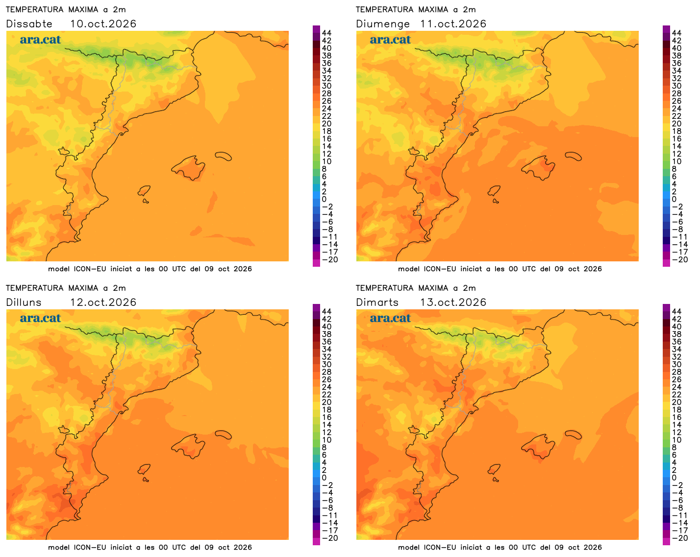
For the coming days, calm will continue to dominate, with almost no risk of showers anywhere. Temperatures will rise slowly, with more warmth at midday and nights not as cold. Long-term maps indicate that the second half of October could become unsettled again, with new precipitation. There are still days to go and all of this will have to be specified.
