Sunday with more spells of sun and temperatures on the rise
The temperature will rise, both day and night
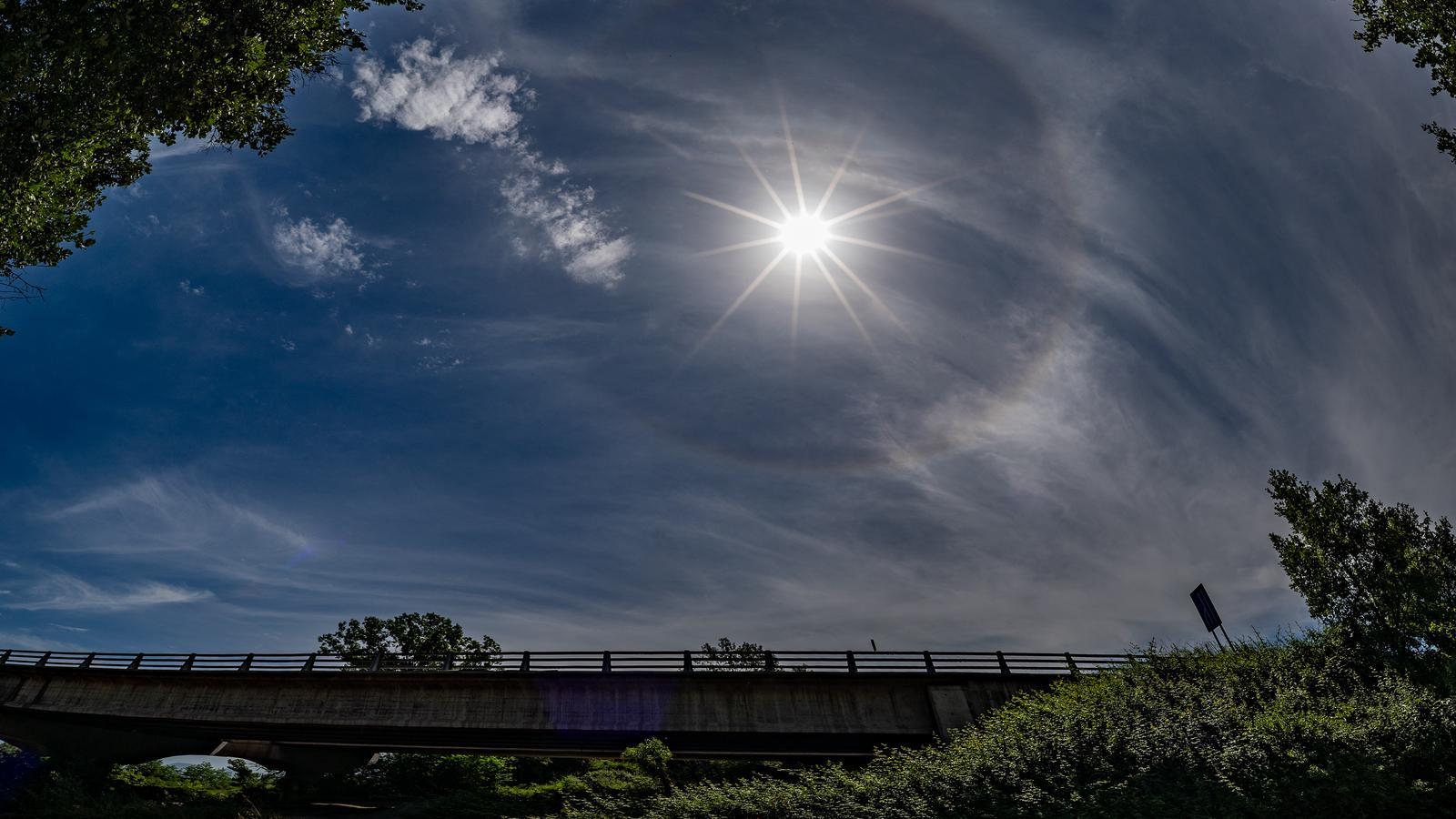

BarcelonaThe weekend began with very calm and stable weather, marked by the presence of high cloud intervals that on Saturday caused trouble in many regions. During Saturday afternoon, some light, unimportant showers also reappeared, a situation that will be repeated on a fully anticyclonic Sunday with many more spells of sunshine. The highs will remain between 23 and 30 ºC in general, or a little higher in parts of Ponent and the Ebro interior. For the moment, however, there is no significant heatwave in sight and it seems that the heat of late May will not visit us again, at least, until the second half of June.

Sunday: very calm
The weather will be very calm on Sunday, with general sunshine and only a few thin or low clouds in the morning. The afternoon clouds in the Pyrenees will be more harmless, and could only leave some isolated and unimportant showers in this sector. Minimum temperatures will rise, and maximum temperatures will be similar or slightly higher. Moderate freshness in the early hours and warm conditions without extremes in the middle of the day, with many values from 26 to 31 ºC. And on the coast, mugginess.

Monday: sun's prominence
The sun will be the protagonist at the start of the week, with a clear sky throughout the country that will allow the temperature to rise with more force. In fact, it will already reach 33 or 34 °C in Ponent and the Ebro interior, still far from late May values, but with heat more typical of summer. Tropical minimums will also return in some stretches of the coast, especially in Barcelona due to the heat island effect. During the afternoon, some showers could occur again in the Pyrenees, with irregular distribution and leaving little abundant rainfall.
