Brief warm snap to start a week with a thermometer roller coaster
The thermal roller coaster will make the mercury drop again on Tuesday
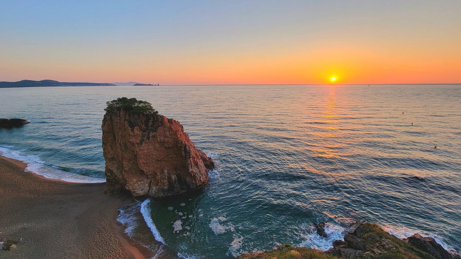
BarcelonaWe leave behind a weekend marked by calm weather, with a lot of stability and a sun that has gradually been imposing itself. This anticyclonic dynamic, typical of this time of year, will continue during the coming days, although afternoon showers will also continue in some regions of the northern half. The temperature will rise today after a weekend that has not been particularly warm. Thermometers will experience a brief peak this Monday, with maximums reaching 33 or 34°C in parts of Ponent and the interior of the Ebre. For now, however, there is no significant heatwave in sight, and it seems that the heat we had at the end of May will not visit us again, at least, until the second half of June. We expect a thermal roller coaster week, as from tomorrow the mercury will deflate again.

Monday: Sun's prominence
The Sun will be the protagonist of the start of the week, with a clear sky throughout the country that will allow the temperature to rise with more force. In fact, it will already reach 33 or 34 °C in Ponent and the Ebro interior, still far from the values of the end of May, but with a heat more typical of the meteorological summer that we started a week ago. Some slightly tropical minimums have also returned in some local stretches of the coast, especially in Barcelona due to the heat island effect. During the afternoon, some irregular showers will occur in the Pyrenees, with irregular distribution and leaving little abundant precipitation. As the hours pass, they may locally affect other points in the northern third, and some may not reach the Ports and Ponent from the Iberian system.

Tuesday: less heat and wind at the extremes
The week will advance with some changes, especially in the northern half, where the temperature will drop more clearly from Tuesday. This thermal decrease will be accompanied by the entry of the tramuntana and mestral winds at both ends of the territory, as well as precipitation during the early morning and morning of Tuesday in the western Pyrenees and nearby regions. Until Thursday, the mercury will continue to decrease, with more moderate and comfortable heat. The weekend will be warmer again, but for now without any advanced heat episode in sight.
