Goodbye to the rainstorm, although it does not clear up completely
There will still remain remains of cloudiness and of some irregular showers only in some counties

-
CAT -
CAST
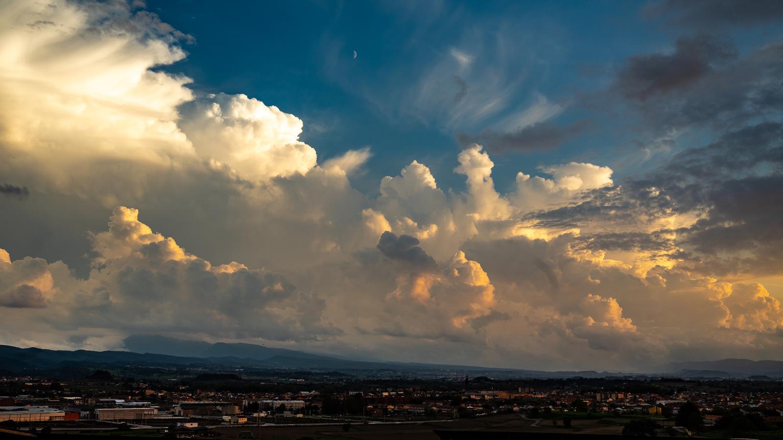
BarcelonaThe rainstorm caused by the DANA Adam and warm maritime winds laden with moisture has affected all the Catalan Countries in recent days. In Catalonia, Monday's round of precipitation left many records of 15 to 50 l/m², but in the Pyrenees, the southern pre-coastal area of Barcelona, and the counties of Tarragona and Lleida, these figures were exceeded, highlighting the 74 l/m² in Ulldeter (Ripollès) or the 70 in Falset (Priorat). In contrast, in the northeastern counties, precipitation has been meager during this episode. All of this will be history this Tuesday, as the sun and calm will gradually prevail everywhere, though still with remnants of clouds and afternoon showers in the northeast and the Pyrenees.
The rain has not caused havoc in Catalonia, and it has even been very welcome in areas that have been quite thirsty in recent months, such as Ponent. But the worst part of the storm has been taken by the Valencian Country. The most affected counties have been la Safor and la Marina Alta, with records that have exceeded 600 l/m² or, locally, 700 in just 24 hours. The record of 720 l/m² in Forna or the 693 in Pego stands out, according to data from the Valencian Association of Meteorology (Avamet). Accumulations that are completely out of place and similar to those recorded two years ago during the tragic Valencia DANA. So much rain has caused serious flooding (you will find the most notable data and images of the storm at the end of this information).

Tuesday: more calm
After so much rain, this Tuesday will be a much calmer day. Until the morning, there will still be some light rain and many clouds in the northeast of the country, as well as showers and thunderstorms in the Balearic Islands. But all of this will quickly clear away and sunny spells will gradually prevail from west to east. In fact, the sun will end up shining in many regions today, especially in the west and south of Catalonia and the Valencian Community.
On the other hand, in the afternoon there will still be some scattered showers and a few local thunderstorms in the regions of northeast Barcelona, Girona, the Pyrenees, the Balearic Islands, and Castellón. These are local phenomena that will have nothing to do with the rains and downpours of the last few hours.

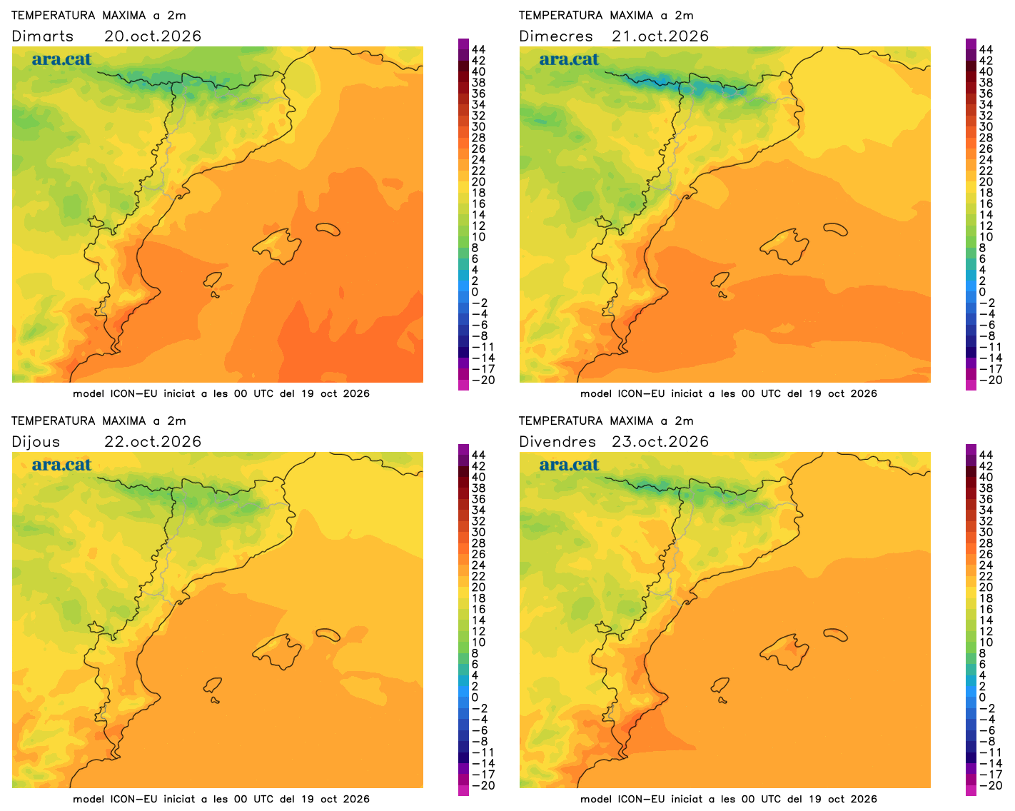
The mistral and tramontana winds will blow strongly in the Ebro and Empordà regions, and during the middle of the day, a westerly wind will also blow in the center and south of Catalonia. It will be cold early on, but maximum temperatures will clearly recover after two days of abundant clouds. The rise may be locally pronounced. Many maximum temperatures between 16 °C and 21 °C are expected, and slightly higher in the south.
Little rain in sight
Looking ahead to the coming days, tranquility and sunshine will generally dominate, with the exception of some bands of clouds. In general, no rain is expected. Or, at the very least, no significant new period of precipitation. Only a few scattered afternoon showers will escape in the Pyrenees area and nearby regions. Temperatures will experience some ups and downs, but the autumn atmosphere has come to stay, with cold at night and a mild, contained atmosphere at midday.
Balance of historic rainfall
The storm that has affected the south of the Valencian Country has been historic. The episode took place between Sunday and Monday morning, and has left extraordinary and record-breaking records, especially in the regions of Marina Alta and La Safor, which were the most affected by the torrential rains. In less than 24 hours, 600 l/m² have been exceeded in some municipalities, and in some places, even 700 l/m² have been exceeded. A lot of water fell in a few hours, causing serious flooding, fatalities, and the rescue of dozens of people. In the Balearic Islands, it has also rained heavily with downpours that have caused flooding, but nowhere near as severe as in the Valencian Country, as the highest records are around 90 l/m² in the Pityusic Islands.
Standing out are the 720 l/m² in Forna, in Atzúbia (Marina Alta), a rainfall record for the municipality. This figure is in third place on the podium of the most significant official records of rainfall in 24 hours since data has been kept in the Valencian Country and the State, only behind the 817 l/m² in Oliva on November 3, 1987, and the 772 l/m² recorded in Torís on October 29, 2024, during the tragic DANA. These are the most significant records from the last episode in the south of the Valencian Country, according to data from Avamet.
- 720 l/m²: Forna
- 693 l/m²: Pego
- 643 l/m²: Oliva
- 615 l/m²: el Real de Gandia
- 602 l/m²: Barx (la Drova)
- 580 l/m²: Vall d'Ebo
- 551 l/m²: Vilallonga
- 548 l/m²: Gandia (Parpalló)
- 544 l/m²: Palma de Gandia
