The sun and the intense wind will be the protagonists of the end of the week
The gusts of wind this Sunday could exceed 100 km/h


-
CAT -
CAST
BarcelonaThe weather this Saturday has been quite calm, with a cool atmosphere and still no wind, but on Sunday we will notice an important change with strong winds that will affect many counties. The minimum temperature on Sunday will be at the end of the day, when we will notice a new cooling. Even so, we will have to be more aware of a possible more significant drop in temperature in the middle of next week.

Sunday: more sun and wind
Once the front passes at dawn, the west and northwest wind will strengthen. It will blow throughout the day in many regions and, little by little, the mistral will take hold. The most affected areas will be the coast and pre-coastal areas of Barcelona, the regions of Tarragona, Ponent, the north of the Alt Empordà, and the high peaks of the Pyrenees. In elevated areas, speeds may exceed 100 km/h and in many places, gusts of between 50 and 90 km/h will be recorded. Meteocat has already activated an alert for strong winds in several regions, with an orange level in many points of the central and southern coast and pre-coastal areas.
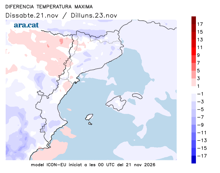
Overall with radiant sun in general, but throughout the day the sky will be more covered on the north face of the Pyrenees, where some weak showers will escape with a snow level that will go down from the initial 2,400 m to 1,600 m, quickly, leaving a new dusting of snow. In the afternoon, cloudiness will grow in the northeast which, at most, will leave some local and unimportant showers. Temperatures will drop a bit, and the minimums will be recorded in many cases at the last minute.
Monday: few changes
We will start the week with a colder, full autumn atmosphere, and an anticyclone that will return to predominate and end the wind at both ends of the country. All this on a day with high and medium clouds passing through and some remnants of early morning precipitation on the northern Pyrenean slope, with a snow level of about 1,600 meters.
Possible cold snap next week
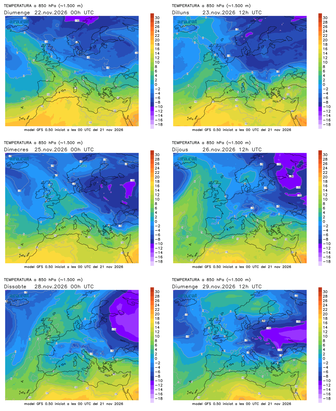
Between Tuesday and Wednesday, the approach of a pocket of very cold air will reactivate instability, with showers in various regions and snowfall in the Pyrenees. But above all, it will open the doors to a significant drop in temperatures that will bring us a taste of early winter, with cold in general, more strong winds, and a quite low snow level in the Pyrenees. A situation still uncertain that we will have to go on confirming, but which will also cause a very cold environment and the first snowfalls of the season at low altitudes in central and eastern Europe.