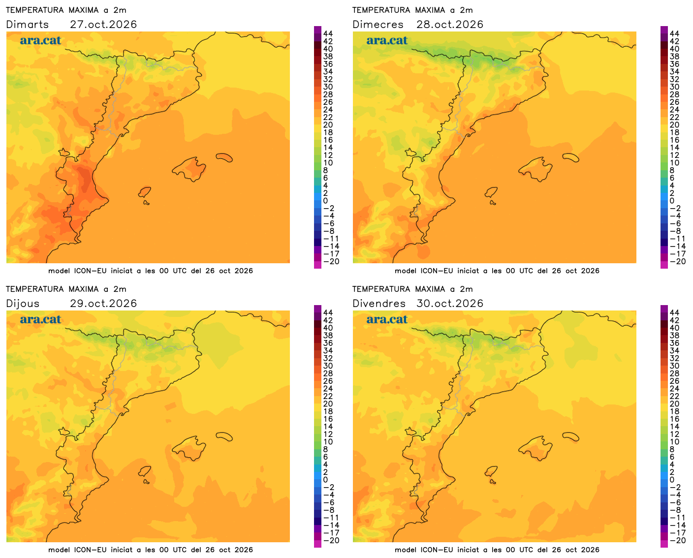
Peak of the little summer today, with too much heat for the time of year at midday
The temperatures will drop from the middle of the week and will gradually normalize

-
CAT -
CAST
BarcelonaThe week has started with a new leap forward in temperatures. Yesterday, 25 ºC was already exceeded in the Ebro valley, and 20 ºC in most regions, highlighting the almost 28 ºC recorded at the Riba-roja reservoir (Ribera d'Ebre). An atmosphere warmer than what would correspond to this time of year that will peak today, as we will still add a few more degrees. But this little summer will not have much continuity, as from Wednesday and especially Thursday temperatures will go down and we will arrive at the Castanyada with more normal values for the dates. All this with absolute calm due to the anticyclone affecting a large part of Europe.

Tuesday: calm and heat
This Tuesday the weather will remain very calm. We start the day with some fog in inland plains, as well as some low clouds on the coast. But the sun will prevail everywhere throughout the day, with the permission of some decorative brushstrokes of thin clouds. Throughout the afternoon, cloudiness will increase on the north face of the Pyrenees, without ruling out some light showers at night.
Temperatures will rise even more and will peak. The marked coolness of the early hours will contrast with the midday heat, so we will have to dress in layers again. The atmosphere will be much warmer than it should be at this time of year, with up to five degrees above average. Many highs of 21 to 26 ºC are expected, but they will rise again in the Ebro valley.

Temperatures heading down
In the coming days, temperatures will gradually drop after the warm peak at the beginning of the week. The decrease will be most noticeable during the final stretch of the week, coinciding with All Saints' Day. Therefore, we can expect an All Saints' Day weekend with more normal values for the dates: cold nights that will invite you to eat chestnuts and panellets by the fire, and mild afternoons.
Medium-term maps indicate an irruption of very cold air in Central Europe which, indirectly, could cause some changes in our region. We will have a start to November with even lower and fresh or cold temperatures, with a maritime flow that will increase the risk of precipitation, especially in the Balearic Islands and the Valencian Country. All of this will have to be specified as time goes on.