Which are the driest forests? A new Catalan tool allows their detection
The CREAF designs a new platform that monitors in real time the humidity of living vegetation throughout the Peninsula
-
CAT -
CAST
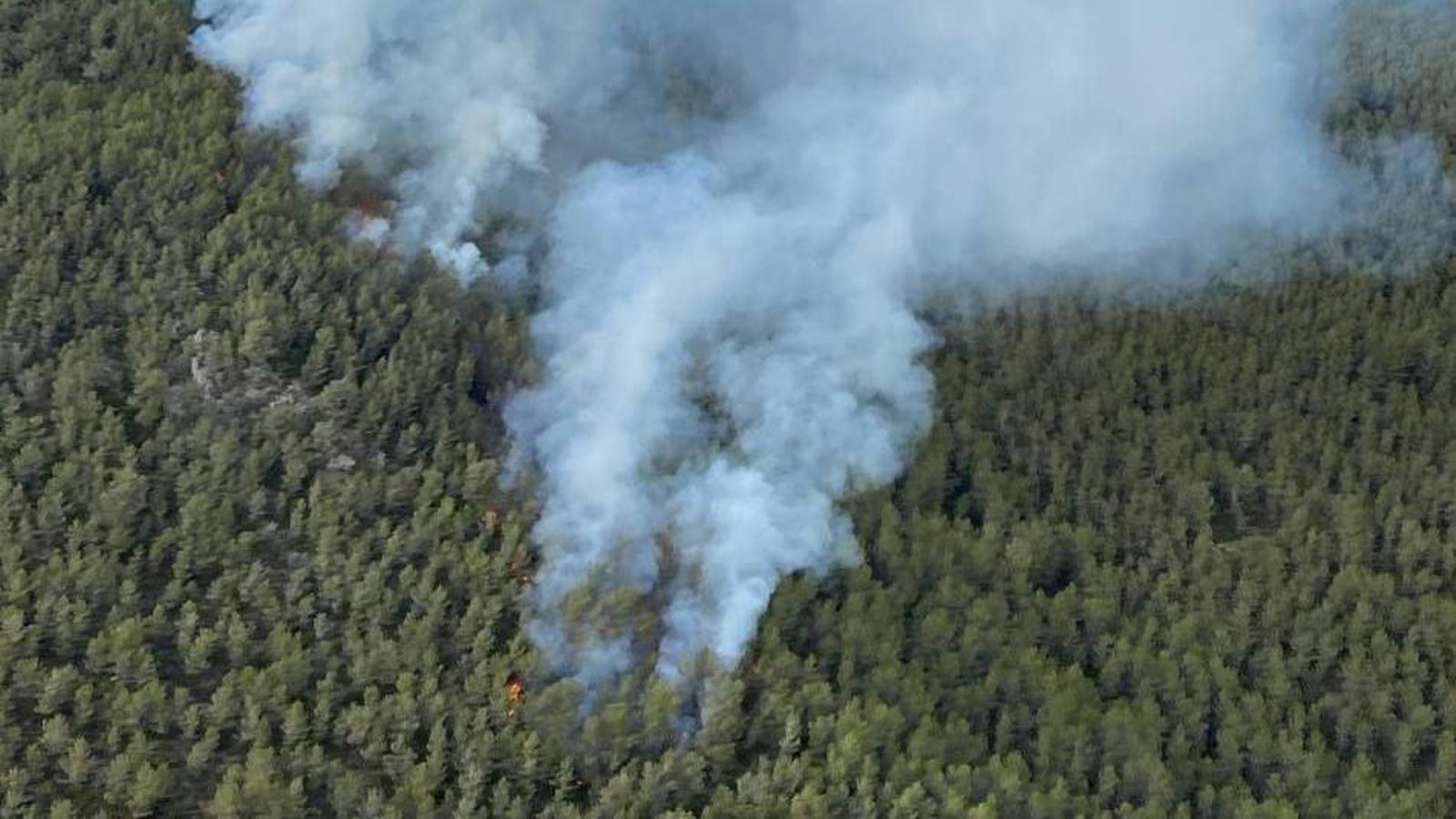
BarcelonaWhy do some forests burn more virulently than others? Among the answers, factors such as ambient temperature, wind, or topography often appear as key drivers. However, there is another, much more invisible element: the humidity of living vegetation, a factor very complicated to calculate accurately. Until now.
The CREAF research center has developed a new tool that allows changing the rules of the game in fire management. It is a platform called ForestDrought, which allows consulting, almost in real-time, the water content in the soil and the water status of the vegetation throughout the Iberian Peninsula and the Balearic Islands. Now, a report published in the scientific journal New Phytologist, led by the same center, is already studying how to apply this value to risk maps.
The new tool updates the thirst map of this entire vast territory daily. The objective, as the research center explains, is to offer a precise radiography of the vulnerability of forests during the last 365 days. "When plants have less than 100% humidity, it is usually indicative of drought stress, and if it drops below 80%, we need to be alert, because it means the vegetation is very dry and can ignite more easily," highlights Miquel de Cáceres, a CSIC researcher at CREAF. According to the researchers, traditional models predict the humidity of dead vegetation (such as leaf litter or dry branches) well, but they do not capture with the same reliability how living plants react to drought episodes. "Living trees and shrubs have various physiological mechanisms that allow them to regulate water loss," explains Rodrigo Balaguer, a CREAF researcher and author of the study.
Species such as pines or holm oaks, for example, have deep roots that allow them to access water at greater depths and have the ability to close their stomata to conserve moisture. In contrast, many undergrowth shrubs, such as rosemary or rockroses, have shallower roots and depend on the water accumulated in the outermost soil layers, which is why they dry out much more quickly when it stops raining. This difference explains why two areas with the same weather can have a completely opposite fire risk. Vallès, Maresme and Girona, critical points
Similarly, the torrential rains that fell this winter and also in spring left good water reserves, but the vegetation has managed it differently in each area. In this regard, during recent weeks, simulations have detected that, in Catalonia, the areas with the most dryness —that is, in which humidity is observed below 100% and in some cases close to 80%— are concentrated in Vallès Oriental and Occidental, Maresme, and the inland area of Girona (la Selva, el Gironès, and la Garrotxa), where critical thresholds are being reached. In Spain as a whole, the situation is also particularly worrying in Extremadura, the western area of Andalusia (Córdoba, Seville, Cádiz, and Huelva), and Castilla-La Mancha (especially Ciudad Real and Toledo).

To generate all these calculations, the new platform integrates data from different Spanish meteorological services, including Aemet and the Meteorological Service of Catalonia. In addition to measuring water stress, the maps also allow visualization of indicators such as canopy fire potential, meaning the ease with which flames can jump between trees, or the potential for surface fire. The future challenge, as highlighted by CREAF itself, is to improve satellite observation and knowledge of each species' physiology to make these maps increasingly reliable in the face of a future (and a present) increasingly marked by climate change.

