The week will end with more clouds and a less cool atmosphere
The temperature will remain at normal values for the time of the year

-
CAT -
CAST
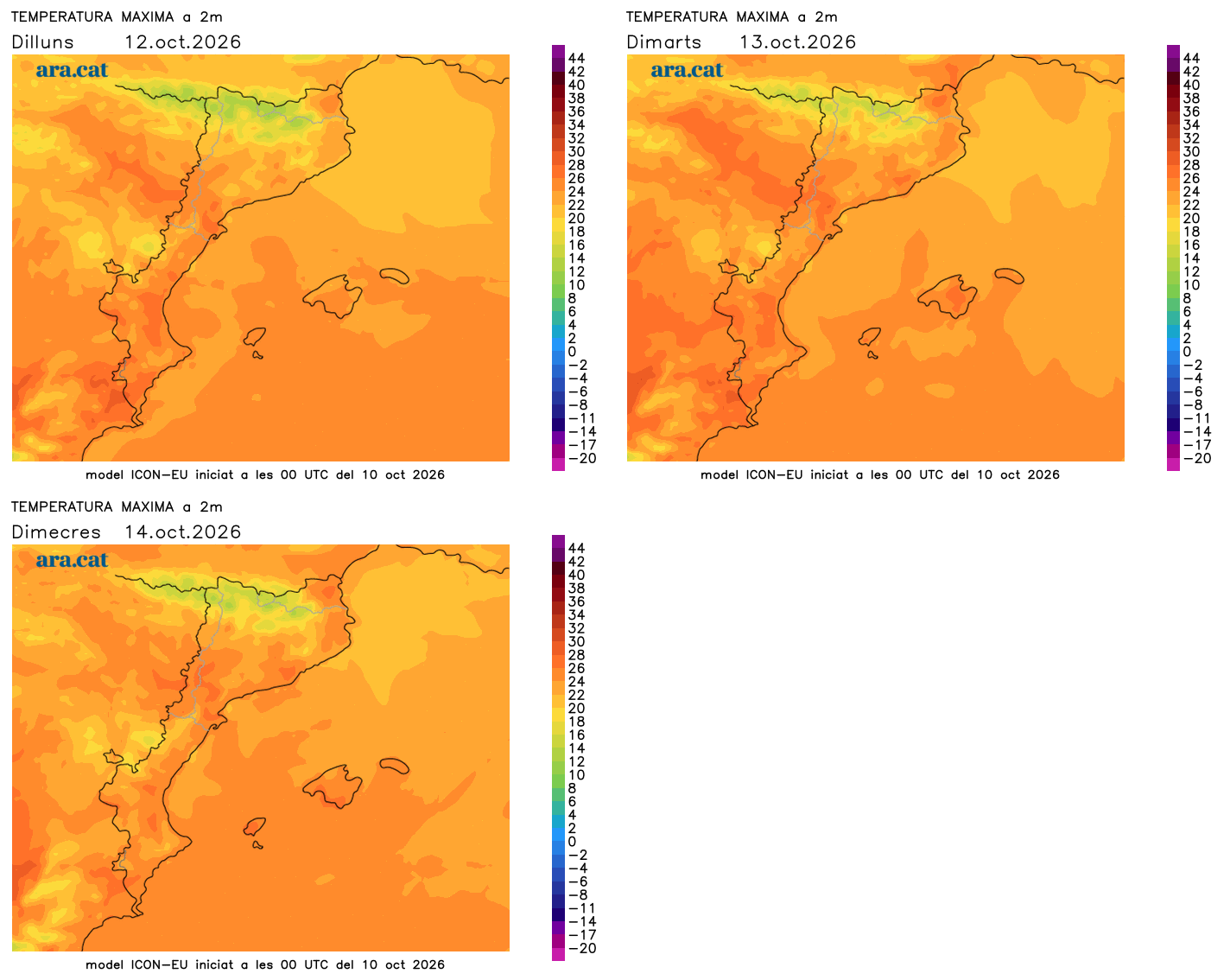
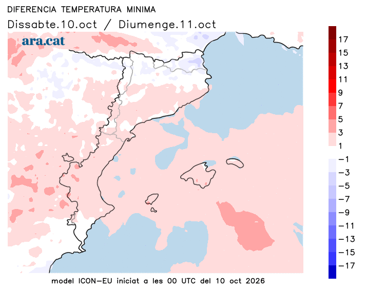
BarcelonaThis morning the temperature did not drop as much as on Friday, with minimums of 0 to 2 ºC in parts of the interior, after the sub-zero values of the previous morning. The maximums have also risen everywhere and midday was less cool, a situation that will also be repeated heading into Sunday, when the temperature will continue to rise a little. Next week will also begin with an identical dynamic and without any notable change in weather in sight.

Sunday: small changes
Calm will return to dominate the last day of the weekend. Even so, a cold front tail will brush the Pyrenees and cause an increase in cloud bands throughout the day. The sky will be more overcast and variable, especially in the afternoon, but without precipitation, with some isolated sprinkles at most on the northern side of the Pyrenees and in parts of Girona. All this with minimum temperatures slightly higher, but maximums similar and kept in check, with a bit of mildness where there is more sun. The north wind will end up disappearing in Empordà.
Monday: more softness
The week will start very calmly, although with low clouds on the coast and the pre-coastal area, and with temperatures that will rise slowly, but steadily. It will be warmer at midday and the nights will not be as cold, although they will still be quite cold in the Pyrenees and the Pre-Pyrenees. Long-term maps indicate that the second half of October could be unsettled again, with new rainfall. There are still days to go and all of this will have to be specified.