The scorching peak of the heatwave will give way to a sleepless night
The temperatures will drop a little in the coming days, but with no cooling in sight
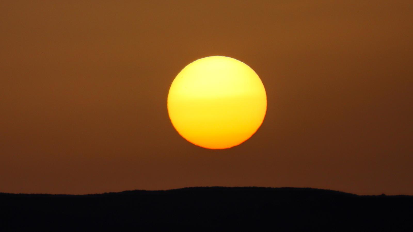

BarcelonaThe heatwave reached its peak this Monday, with values between 8 and 13 degrees above average in the interior and the Pyrenees. Temperatures have risen even further, with many maximums ranging between 35 and 40 ºC in the pre-coastal areas and the interior. But these figures have been surpassed in Ponent, as well as in parts of the Ebro and other inland areas. Of note are the 42.4 ºC recorded in Lleida (Segirà), which is the highest temperature reached so far this year in Catalonia. Tropical and torrid minimums have also been recorded in many areas (you will find all the most significant data on the extreme heat of the last few hours at the end of this information).
And pay attention to this coming night, as it will be very warm and difficult to sleep in many regions, with many tropical minimums, but torrid ones will even extend near the sea. From Tuesday onwards, thermometers will drop slightly, but the heat will continue to be very intense and extreme. And there is no clear end in sight to this situation, as the anticyclone and the warm gust with suspended dust from North Africa will continue to affect our latitudes.

Tuesday: slight drop in mercury
The night and early morning from Monday to Tuesday will be very warm and difficult to sleep in many regions, even more so than the previous one. Minimum temperatures will be tropical in many areas – above 20 ºC –, but torrid – above 25 ºC – in many coastal areas, especially in large urban areas due to the heat island effect. Meteocat has activated alerts for night-time heat in several regions of Barcelona, Ponent, and Central Catalonia.
Regarding the highs, they will decrease slightly overall, but we will barely notice the change, as we are coming from such high temperatures that it will continue to be very hot in general. Most values will range between 32 and 38 degrees Celsius, with very intense humidity on the coast. In Ponent and the Ebro valley, temperatures will again approach 40 degrees Celsius. Meteocat maintains alerts activated for intense heat in inland areas and the western Pyrenees. The sun will dominate, with a dusty sky due to suspended dust, and afternoon clouds that will leave some irregular showers in the Pyrenees and Pre-Pyrenees – especially in the western part – and in nearby inland areas. In fact, in inland areas there may be dry thunderstorms, with strong gusts of wind, which will increase the risk of fires.

The weather for Sant Joan's Eve
Saint John's Eve will be one of the warmest on record, with tropical lows in many places and again scorching temperatures along coastal stretches. Beyond the heat, the night will be pleasant and enjoyable, with no rain anywhere. The afternoon showers in the north of the country will completely disappear by dinner time, and apart from remnants of some clouds and the presence of suspended dust, there will be no impediment to enjoying this magical night. Nevertheless, be cautious with fire and firecrackers, as the risk of fires will be very high.
Intense heat without respite
Although the extremes of Monday will no longer be reached, temperatures will remain very high for the season throughout the week. Temperatures will continue to exceed 35 ºC in many inland areas, with marked mugginess on the coast and sleepless nights in several counties. No clear cooling or normalization of thermometers is in sight, with only some rises and falls in the mercury.
All in all with sun, calm and suspended dust. Only some irregular afternoon showers or thunderstorms will repeat in the Pyrenees and Pre-Pyrenees, which by Sant Joan could even reach closer areas of the interior. In any case, no significant change in weather is expected.
Balance of the heatwave peak
The peak of the heatwave has left extreme temperatures across the country today. Temperatures of 40 ºC have been reached or exceeded in many inland areas, especially in Ponent. Notably, the maximum of 42.4 ºC recorded so far in Lleida, in El Segrià, is the highest temperature recorded in Catalonia this year. But also 42.1 ºC in Alcarràs (Segrià), 41.8 ºC in Vinebre (Ribera d’Ebre) or almost 40ºC in Castellbisbal (Vallès Occidental), among others. These are the highest maximums (until 6 p.m.).
- 42.4 ºC: Lleida
- 42.1 ºC: Alcarràs
- 41.8 ºC: Vinebre
- 41.6 ºC: Castellnou de Seana and Alfarràs
- 41.5 ºC: Torroja del Priorat
- 41.5 ºC: Torres de Segre
- 41.5 ºC: el Poal
- 41.5 ºC: Gimenells
- 41.4 ºC: Artés
- 41.2 ºC: Tremp
- 41.0 °C: Gimenells
- 40.9 ºC: Sant Romà d'Abella
- 40.2 ºC: Sant Salvador de Guardiola
On the coast, the mercury has not shot up as much, although temperatures have also exceeded 30 ºC, with particularly heavy stuffiness. The previous night was torrid in densely populated coastal areas and at high elevations of the coast and pre-coast, with lows of 25 or 26 ºC, due to thermal inversion. Notable are the 26.4 ºC minimum at the Fabra Observatory, 25.9 ºC in Montserrat, 25.4 ºC in the Raval neighborhood of Barcelona, and 25.3 ºC in the Garraf Natural Park.
