The heatwave will end suddenly this weekend
Until Saturday it will be very hot, but afterwards a strong drop in temperatures will arrive and instability will increase
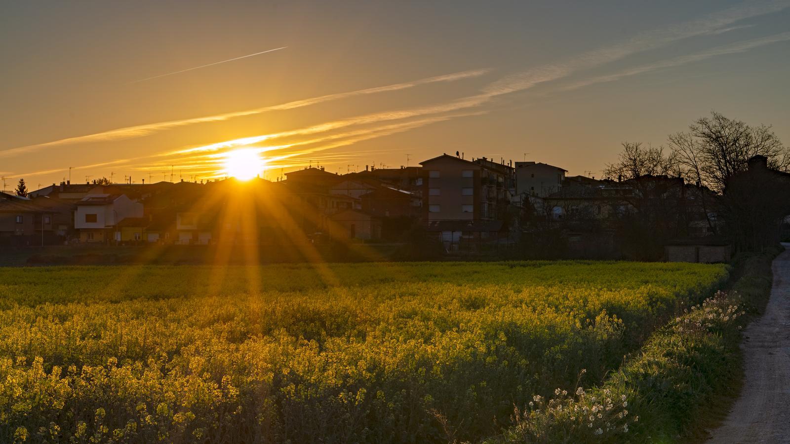

BarcelonaTemperatures have risen even further in the last few hours. Heat out of place for the dates, and today the first 30 ºC of this year were finally reached and exceeded in our area, specifically in the Ponent and Ebre regions. Notable are the 31.9 ºC recorded at the Riba-roja reservoir and 31.1 in Vinebre (Ribera d’Ebre), 30.7 in Aldover (Baix Ebre), 30.6 in Seròs (Segrià), 30.1 in Benissanet (Ribera d’Ebre), and 30 in Torroja del Priorat. A figure that this year has been reached almost a month earlier than last year, when the first 30 ºC arrived on May 3rd. According to Meteocat, if we establish a ranking of the day when the first 30 ºC maximum was reached in Catalonia over the last twenty years, based on data from the agency's stations, this Thursday, April 9th, would rank fifth. As Aleix Serra Uró, head of Meteocat's data quality control team, explains in a statement, "we are facing an unusual but not exceptional situation."
It has also been very hot in the northeast, with maximums locally exceeding 28 ºC. Friday will maintain very warm conditions, with sun and coastal fogs that will keep thermometers more restrained in the coastal strip. But the weekend will bring changes. The approach of a cold air pocket and an Atlantic front will cause an increase in cloud cover from west to east throughout Saturday, with the first showers in the Pyrenees and in the west in the afternoon. Sunday will bring a radical change in weather, with a significant cooling, north wind, and showers in various counties.

Friday: very hot
This Friday, the intense heat, atypical for the season, will continue, with an atmosphere more characteristic of late spring or the early days of summer. We will even add a few more degrees, especially regarding the minimums, with little morning cold. Most of the maximums will range between 25 ºC and 30 ºC in the pre-coastal areas and inland.

One more day, the mercury will be more restrained and some fogs will appear on the coast due to the effect of a still cold sea. In general, the sun will dominate, with a sky clouded by the presence of suspended dust coming from North Africa.
Weather change on the weekend
Saturday will still be a very warm day, but thermometers will begin to recede inland and in the Pyrenees. Throughout the day, cloud intervals will increase from west to east, and in the afternoon the first showers may reach the Pyrenees and Ponent. The snowline will fall rapidly from the initial 2,400 m to 1,400 m.
All this will be the prelude to a cold air pocket that, by Sunday, will suddenly bring us back to early spring. The cooling will be very strong, and we will go from being between 7 and 12 degrees above average these days to even slightly below. All this with north wind at the extremes and irregular showers in various regions. In the Pyrenees, the snowline may fall to 1,000 m, locally below.
