More showers and storms to start a week that will end with heat
Monday still unsettled, but in the coming days anticyclonic calm will settle in our home
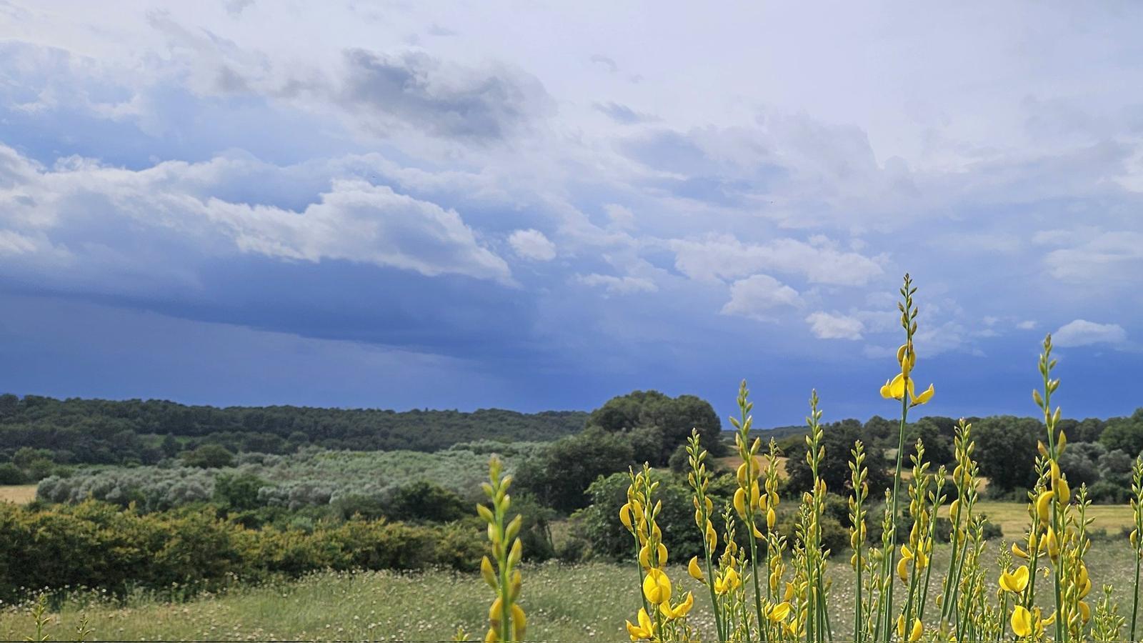
BarcelonaA small cold air trough at high altitude will finish crossing our latitudes during the early hours and morning of this Monday, with instability and new irregular showers and storms in various regions. During the morning, downpours will fall in parts of the northern third and the coast and pre-coast, which will extend to more areas in the afternoon. Thunderstorms have occurred in recent hours, especially in the Pyrenees, Pre-Pyrenees, and northeast regions, with more abundant amounts in Berguedà, northern Osona, or Ripollès, where 10 to 20 l/m² have accumulated in a few minutes. Highlights include the 32 l/m² that fell yesterday in Orís, 28 in Montesquiu, or 22 in Cantonigròs. But this instability will not have much continuity, as throughout the week anticyclonic calm and sun will gradually impose themselves, with increasing heat after the significant cooling of recent days.

Monday of downpours and uncertain weather
The day begins with many clouds and uncertain weather. Scattered showers will be falling in parts of the center and north of the country, as well as between Camp de Tarragona and the Barcelona coast. From midday and during the afternoon, more showers and thunderstorms are expected, especially in the northeast, on the coast, in the Pyrenees and Pre-Pyrenees. The showers will be very irregular and may fall with strong intensity (more than 20 l/m² in 30 minutes). In fact, Meteocat already warns of this possibility, with some more intense showers in Camp de Tarragona in the morning and thunderstorms from mid-morning and midday in the center, on the coast and in the northeast.
Minimum temperatures have clearly risen due to the presence of more clouds, with a less cold morning atmosphere. Most nighttime values have ranged between 11 °C and 14 °C on the coast, and from 6 °C to 10 °C inland. Maximums will remain very restrained, with most ranging between 20 °C and 25 °C, lower in mountainous areas.

Midweek heat
From Tuesday onwards, a more anticyclonic and stable weather will return. The atmosphere will be warmer and spring-like with many highs of 25 °C to 30 °C in the pre-littoral and inland areas. On Tuesday, from midday onwards, only some showers are expected in mountainous areas of the northeast, in the Pyrenees, and also in the Port massif, as well as in the north of Central Catalonia. They will be of lesser intensity and more localized. On Thursday, temperatures will approach 34 or 35 °C in Ponent and in the Ebro basin, and 30 ºC in other inland and pre-littoral areas. In the following days, the heat will be even more intense, with summer-like conditions.
