An exceptionally warm Mediterranean: more risk of storms and heavy rain in autumn?
The record sea temperature favors more intense rainfall, but does not solely determine that it occurs

-
CAT -
CAST
BarcelonaIn the collective imagination, there has long been an almost direct relationship between the high temperature the sea reaches during summer and the possibility of torrential downpours in autumn. This thought, combined with the experience of the devastating dana that affected the Valencian Community in the autumn of 2024, makes it not unusual to wonder if such an extraordinary episode of torrential rains could be repeated this year.
The reality is that it is still too early to know. What we do know at this point in the summer is that the Mediterranean, and specifically its western sector, is experiencing a long marine heatwave and is about two degrees above the average temperature of recent decades.
In recent weeks, several observation points on the Catalan or Balearic coast have reached record seawater temperatures, a situation with few precedents that reflects an exceptionally warm summer. In fact, we have known for a long time that studies show that the Mediterranean is one of the fastest warming regions on the planet, which favors more frequent, longer, and more intense marine heatwaves.
In fact, according to the Mediterranean Monitoring System (MEDMOS) of the Mediterranean Environmental Studies Centre (CEAM), currently about 62% of the Mediterranean is under marine heatwave conditions, with an average surface water temperature in the Mediterranean of 28.2°C, almost two degrees above the average of recent decades. The record for the entire Mediterranean was reached on August 5th at the buoy that Ports de l’Estat has near sa Dragonera, west of Mallorca, which registered 33.02°C.

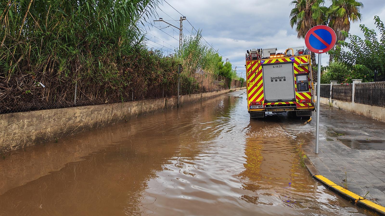
But let's take it step by step, because, firstly, we need to explain what elements are needed for a torrential rain situation in autumn. Firstly, it should be clarified that not all downpours are caused by a DANA, nor do all DANAS cause intense downpours, as we often have them caused by storms, the typical afternoon showers and thunderstorms caused by diurnal heating or local wind convergence phenomena, as we saw with the floods that affected the Baix Penedès and Tarragonès last weekend.
A DANA [the acronym for Isolated Depression at High Levels] is, broadly speaking and in summary, a mass of cold air located in the upper layers of the atmosphere that detaches from the general atmospheric circulation, a cold drop, as it is popularly called.
The detachment of this cold air pocket at altitude is not related to sea temperature, but depends on the atmospheric dynamics in continental Europe. On the other hand, the result that this phenomenon can have is associated with it. And the role it plays is important, because the presence of warm, humid air at the surface is the necessary fuel for the formation of intense storms.
What role does the sea play?
Without going into the physics involved, a high surface temperature of seawater translates into more evaporation and the presence of more water vapor in the atmosphere. Water vapor is, as we said, the fuel for storms, and when an unstable air mass reaches our latitudes, it encounters a large reserve of humidity and a higher potential to generate clouds with significant vertical development and abundant precipitation.
In this sense, we can draw an analogy with forest fires, as we all know that a very dry forest loaded with fallen wood on the ground cannot start a fire by itself; it requires a spark to facilitate ignition. However, after that, this fire will be more devastating than if it had started in a damp and clean forest. In our case, the very warm sea would be that dryness and accumulated wood in the forest, and the 'dana' (a type of atmospheric depression) or the presence of atmospheric instability, the spark.
In conclusion, a warm sea is a favorable condition for intense rains in the coming months and can amplify the effects of precipitation episodes that occur. However, by itself, it neither generates 'danas' nor downpours. The Mediterranean does not manufacture storms, but when it is as warm as it is now, it fuels them with much more force.
