Strong storms in the south and thermometers under control
The Inuncat plan is maintained: the downpours have accumulated 130 mm in a few hours in Baix Penedès

-
CAT -
CAST
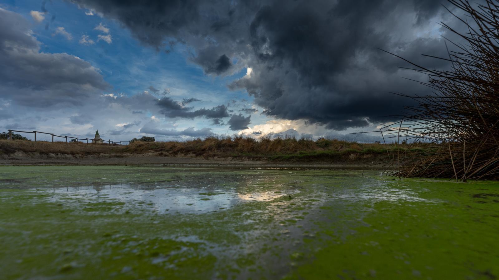
BarcelonaWe are starting a stormy Saturday, but not throughout the territory. Thunderstorms are discharging strongly offshore and are reaching land. In fact, heavy showers and intense thunderstorms are expected between the central coast and the Costa Daurada. These showers will be intense and can accumulate 30 mm in just under half an hour, with significant accumulations, which have already reached up to 100 mm in a few hours. In Baix Penedès, it has discharged with great intensity and the showers have been torrential. In El Vendrell, for example, they have accumulated 129 mm and 113 mm in Torredembarra.
The most intense thunderstorms and downpours will continue to discharge offshore and should no longer affect the Costa Daurada (or at least, with this intensity). In any case, they will move towards the Terres de l'Ebre. In addition to the showers in the south of the country, they are also expected in the pre-coastal areas, in Central Catalonia and in Ponent, reaching up to the Pre-Pyrenees, but they will be less intense and more scattered showers.

Today, therefore, thunderstorms will move in front of the Catalan coast, and it will be towards the southern coast where they may end up reaching land. The day will begin with clear spells in the west and north, but between the central coast and El Camp de Tarragona the outlook will be very different, with the possibility of locally intense storms, as we have said.
The warnings for heavy rain remain in effect, with showers that can accumulate up to 40 mm in 30 minutes and up to 90 mm in 3 hours. Beware of flood-prone areas and streams:
During the afternoon, showers may occur in other regions of the center and west of the country, as well as in the Pyrenees and Pre-Pyrenees. The Girona regions and the central or northern coast will remain somewhat on the sidelines.
The temperature will be held back early in the morning in the Pyrenees, with lows of 12°C in the valleys. During the day they will rise more in the Lleida Pyrenees and the northeast. The highs will not exceed 30°C and we will move, in general terms, between 26°C and 29°C.
Sunday with new showers and cooler weather
The early morning could be, again, busy, and some models indicate stormy activity on the Costa Daurada and Camp de Tarragona (without the downpours of the last few hours having to be repeated!). More clearings will appear in the morning, and during the afternoon they will growcloudiness in the Pyrenees and Pre-Pyrenees, which may bring moderate showers. Some thunderstorms could occur in Central Catalonia and, by the end of the day, the storm will discharge offshore and on the central coast.
The temperature will rise more and it will be hotter. We will reach 34°C in Ponent, and in the rest of the country we will be between 30°C and 33°C. Mid next week a more marked rise is expected and heat peaks of up to 35°C or 36°C in the Lleida plain and the Ebro.
Rainfall accumulated until 8 a.m. on Saturday:
- el Vendrell: 129 l/m2
- Torredembarra: 113 l/m2
- Tarragona: 49 l/m2
- Vilafant: 39 l/m²
Rain yesterday, Friday:
- Navata: 23 l/m²
- Bossost: 23 l/m²
- Porqueres: 22 l/m²
- Castelló d'Empúries: 21 l/m²
- Rainfall: 19 l/m²
- Banyoles: 15 l/m²
- English: 15 l/m²
- Sant Pere de Ribes: 10 l/m²
- Palafrugell: 8 l/m²
- Barcelona: 3 l/m²
