The weather stabilizes after the downpours and hailstorms
The sun will gain ground and the maximum temperature will rise
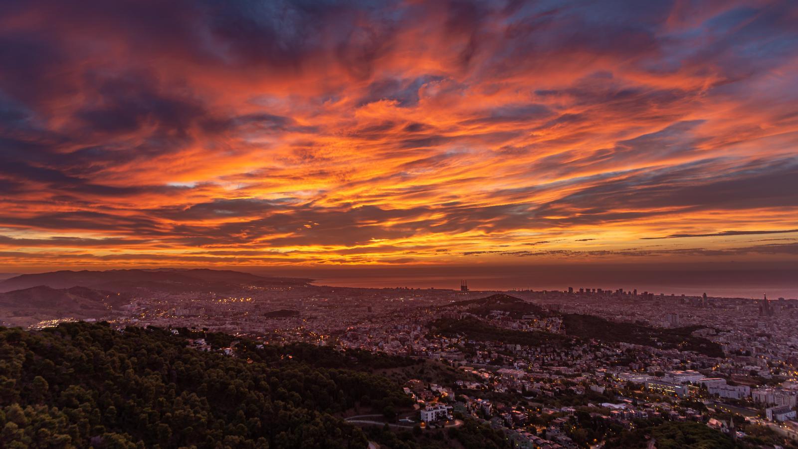


The Atlantic disturbance located west of the Iberian Peninsula left downpours and hailstorms during Monday afternoon, in some cases with large hailstones and violent gusts of wind (you will find a summary of the storms at the end of this article). This Tuesday, however, will be a radically different day, with much more stable and calm weather and no precipitation.

Tuesday: the weather stabilizes
Fully summery day, with temperatures that will rise notably in some cases and with a generally clear sky, with no more afternoon showers anywhere. The mercury will rise especially along the coast and pre-coastal areas, with maximums that will approach 35 °C in the Girona regions.

Wednesday: more variability
The weather will remain quite stable as the week progresses, although on Wednesday there will be more cloud cover. Clouds, in any case, will be mostly harmless, and will only leave some scattered showers. The temperature will drop on the coast and pre-coast, while it will rise slightly in the western regions and notably in some parts of the northern regions of the country.
Balance of Monday's storms
The downpours that occurred from Monday midday affected a large part of the country's interior, especially the northern and western half, and also many points on the Tarragona coast, and in many cases were accompanied by large hailstones. This was the case in Tarragona, Móra d'Ebre, Llívia or Puigcerdà, among others. The accumulated rainfall was significant, with 89 l/m2 in Vinyols i els Arcs - Cambrils, 77 in Tarragona, 59 in Riudecanyes, 50 in Torredembarra, 43 in El Masroig and 41 in Falset and Vielha.
