The weather does not quite clear up at the gates of the weekend
Some very local showers may still fall, and the heat is kept at bay
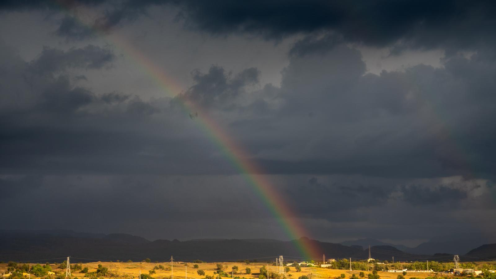

BarcelonaThe weather has clearly improved over these last few hours, leaving behind Wednesday's heavy storms and downpours. However, instability has persisted, with frequent cloud intervals and remains of some scattered, local, and weak showers in parts of the coast and pre-coast –especially in Barcelona– and in the northeast. It is not completely clear yet, and this situation will repeat today, without ruling out some very local morning downpour by the sea, as has already happened this morning in the seaside neighborhoods of the city of Barcelona, where localized flooding has occurred. In some neighborhoods, locally, more than 10 or 15 l/m² have been exceeded in a few minutes due to these showers over the sea that occasionally brush the coast. All this with heat that will remain very much in check and cool nights. Over the weekend, the sun and calm will finally prevail completely.

Friday: few changes
The weather will remain slightly unstable this Friday in some regions. In the morning there will be a lot of cloudiness and some occasional showers or light rain will even escape on the coast and pre-coast of Barcelona, in the northeast and north of Tarragona. Local phenomena, but which have already left nearly 4 l/m² in the Raval neighborhood of Barcelona or in Cunit (Baix Penedès). All this is the result of the convergence of the mistral and tramontane winds at the ends of the country, which causes maritime winds and more instability on the central coast. A very local downpour by the sea is not ruled out, which is why Meteocat has activated the yellow alert for heavy rain between Maresme and Baix Penedès.
In the afternoon there will be remaining intervals of clouds on the coast and in the northeast, without ruling out some local showers, especially between Montseny and Ripollès. Not much, while in the south and in Ponent the sun will clearly dominate. Some showers will still escape between the south of the Valencian Community and the Balearic Islands. Mistral wind in the morning in the Ebro, and tramontana in the Empordà during most of the day.

As for temperatures, they will not undergo major changes. The night will be cool in general again, with thermometers dropping further where there are no clouds. In the middle of the day, the heat will remain very contained, with most highs between 23 and 28 ºC, slightly higher in the southern interior, and lower in mountain areas.
A weekend to enjoy
Looking ahead to the weekend, calm and sunshine will end up prevailing across the entire territory, including the coast and the northeast. Therefore, showers are no longer expected anywhere, and some pleasant days are coming to be enjoyed. Daytime temperatures will rise, but will remain quite normal for the time of year, with bearable heat. Nights will remain quite cool everywhere.
