New suffocating week and with afternoon showers in some regions
During Monday morning there will already be showers in the far south
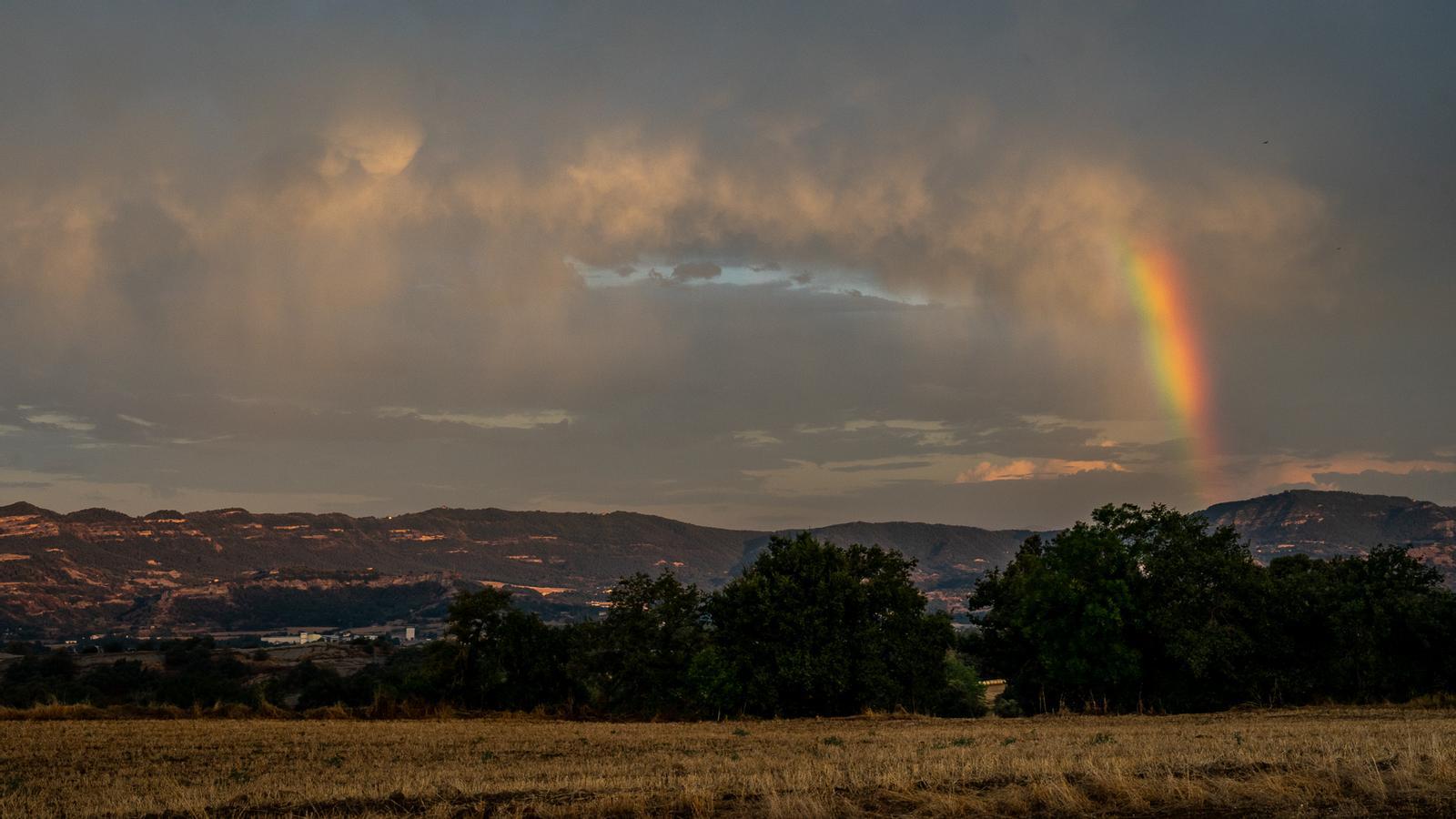
BarcelonaThe weekend has been marked by calmer weather than in previous days, although instability continued to be the protagonist of the afternoon in some regions, especially on Saturday, when showers and thunderstorms in the Pyrenees, pre-Pyrenees and the regions of Ponent left, locally, more than 50 or 60 l/m² and wind gusts of 100 km/h.
In the rest of the country, however, the weather remained stable and warm, with maximums that in some cases reached 38 or 39 °C on Sunday. In fact, yesterday in Castelló d'Empúries (Alt Empordà) they were one tenth away from 40 °C. In short, very intense heat that will continue this week, with again suffocating conditions that give no respite and will experience a new peak in the middle of the week. Between Monday and Tuesday the mercury will drop slightly and temporarily, but in practice this change will be barely noticeable. All this with new showers in some areas. It seems that from the weekend the thermometers would begin to drop.

Monday: few changes
The week begins with some cloud intervals in the morning. Even some first scattered showers are already occurring inland and in the Pyrenees. They move quickly and leave little water, but in the eastern counties of Lleida the showers are a little more intense.
During the afternoon, showers will repeat in the Pyrenees and Pre-Pyrenees, locally accompanied by thunderstorms and hail, but also in the Ports area and in the interior counties of the Valencian Country, where they will be intense and accompanied by hail or sleet. After a very warm night in several counties, the temperature will drop slightly, with a less warm atmosphere, although it will still remain clearly above the climatic average.

Tuesday: showers in the northern half
Few changes in the meteorological situation on Tuesday, with new afternoon showers affecting the usual places, such as the Pyrenees or the Pre-Pyrenees, but also nearby regions. In the rest of the areas, sun will predominate, with the arrival of clouds during the afternoon due to scattered storms. The temperature will not move much yet, but from Wednesday onwards it will rise with more force.
Intense heat mid-week
Maps are drawing a new heatwave starting Wednesday, with mercury set to reach 40°C again in the hottest inland areas and widespread tropical nights, also inland. However, the intensity and duration of this new episode of intense heat, this time at the end of the dog days, still needs to be confirmed. It wouldn't be until the weekend and the beginning of next week when thermometers would start to drop more significantly.
