Tailor-made weather to make the most of the Easter holidays
After days with gusty winds, snow and some showers, calm will extend everywhere, with warmer middays
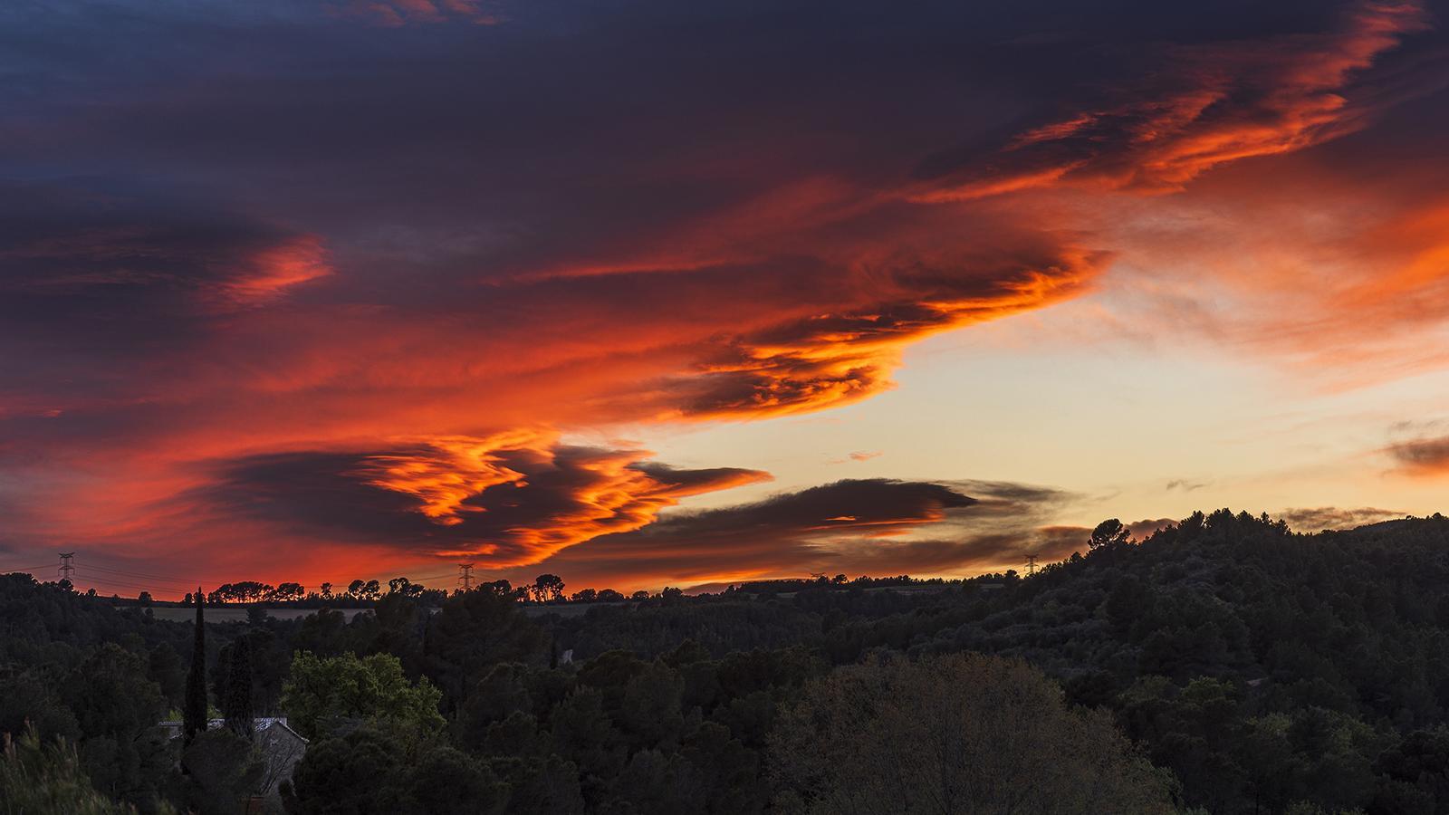
BarcelonaAfter more than a week with a strong north wind corridor affecting our home, the weather situation will clearly improve just as the most important holidays of Easter begin. The mistral and tramontana still left gusts of more than 100 km/h this Thursday in the north of the country, with a hurricane-force gust of 190 km/h recorded in Portbou (Alt Empordà). This Good Friday the wind will continue to blow at the extremes, but it will clearly decrease and will no longer be news. A wind that will finally calm down completely over the weekend. The Azores anticyclone will finally embrace us and absolute calm and radiant sun will prevail everywhere, with no more squalls or precipitation. Temperatures will clearly rise, with increasingly warm midday. All this after the past few days have once again exceeded 100 km/h in the peaks of the Pyrenees and in Empordà, while the last general snowfall in the Pyrenees has left more than half a meter of new snow at the high altitudes of Alt Pirineu and the north face. Freshly fallen snow that will allow for maximum enjoyment of skiing these days.

Good Friday: sun and less wind
The mistral and tramuntana wind will still blow strongly until the morning at the extremes, especially on the peaks of the Pyrenees –with blizzards– and in Empordà, where rough seas will persist. But this strong wind will clearly decrease throughout the day, and it will no longer be news after many days of intense wind. In fact, the Servei Meteorològic de Catalunya only maintains some yellow alert for strong wind north of the Girona regions until the early hours of this Friday, as the situation will improve afterwards.

All this with sun and calm in general on a day to take advantage of, only with decorative traces and local thin clouds. The snowfall will also stop on the north face of the Pyrenees, where there will still be remnants of cloud intervals and perhaps some weak and residual showers. Minimum temperatures may drop slightly, with moderate morning cold and frosts in the Pyrenees. But maximums will clearly rise, especially in the Pyrenees and Pre-Pyrenees. Mild atmosphere in the middle of the day, with many maximums from 17 °C to 23 °C, locally higher.
Radiant end to Holy Week
The weather will be very pleasant with radiant sunshine both on the weekend and on Easter Monday. A period of stability is beginning that will fully coincide with the most important days of Holy Week, when more people have holidays or vacations. A forecast that seems tailor-made after so many days of strong winds, snowfall, and temperatures under control.
Pay attention to temperatures, as they will still rise further and the atmosphere will become increasingly warm at midday. We will even end up having values more typical of May than of early April. Many highs of 20 °C to 25 °C are expected, but in pre-coastal and inland areas these figures will be surpassed, and 30 °C will be locally reached in Poniente and in the Ebro valley. Thermometers will be more restrained on the coast due to the influence of the sea, which is still cold.
All this with thermal contrast between day and night, as well as an increasingly marked thermal inversion, since in the coming days it will be colder at first at low altitudes than at high altitudes. After Holy Week, it seems that instability may return, so let's take advantage of these calm days.
