The weekend will start with a spell of rain
The instability will peak on Saturday with the passage of a front
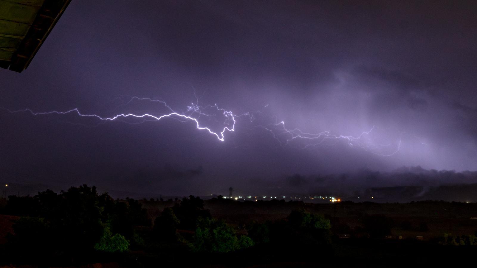

BarcelonaThese last hours of Thursday have seen some very localized and irregular showers and storms again, especially in certain parts of the pre-coastal areas, the interior, and the Pyrenees and pre-Pyrenees. Highlights include the 23 l/m² accumulated in Ports or the 13 in Alinyà (Alt Urgell). But above all, there have been more intense and extensive storms all day in the Balearic Islands and the Valencian Country, with local accumulations of more than 70 or 80 l/m² in the Ribera Alta or Marina Alta. And the instability will continue in the coming days. Friday will be a variable day with the risk of new, minor afternoon showers. But all eyes are on Saturday, as an Atlantic low-pressure system will send us a front that could cause a spell of rain that would sweep across all regions from south to north. Nevertheless, the weekend would end with much more calm and a rise in temperatures.

Friday: changing day
The weather will remain changeable this Friday. The morning will be calm and quite sunny in many regions, with the exception of some morning fogs or low clouds. But towards the Ebro and other points on the coast and pre-coastal areas of the southern half, there will be more cloud intervals, and some showers will even escape.
From midday and during the afternoon, new cloudiness will grow, leaving showers and thunderstorms in various regions. They will be very irregular and are expected mainly in pre-coastal areas, northern Poniente and Central Catalonia, the Pyrenees and Pre-Pyrenees, Los Puertos, and between Barcelona and Tarragona. Some thunderstorms may be locally intense. The sky will be partly cloudy to mostly cloudy overall.

All this with temperatures that will not undergo great changes and will be kept in check, although they may rise slightly. Cold or very cool first thing in the morning, and highs of 17 to 23 °C in many cases.
Busy start to the weekend
Saturday will bring a significant change in the weather. The passage of a front associated with an Atlantic low-pressure system located in the western Iberian Peninsula, along with cold air at high altitudes, will cause a series of widespread rains that will circulate from south to north throughout the day. A gray and rainy Saturday is expected, with a generally cool atmosphere. The possibility of some locally intense storms cannot be ruled out.
However, the weekend will end much more calmly, with a Sunday offering more sunshine and only remnants of some showers in the Pyrenees or the Ports. Temperatures will begin to rise more eagerly from then on, as the cold air mass that has affected us these days will move away and a warmer one will become dominant.
