Sunday with fewer showers, but still with strong clouds
The temperature will rise again at the beginning of next week
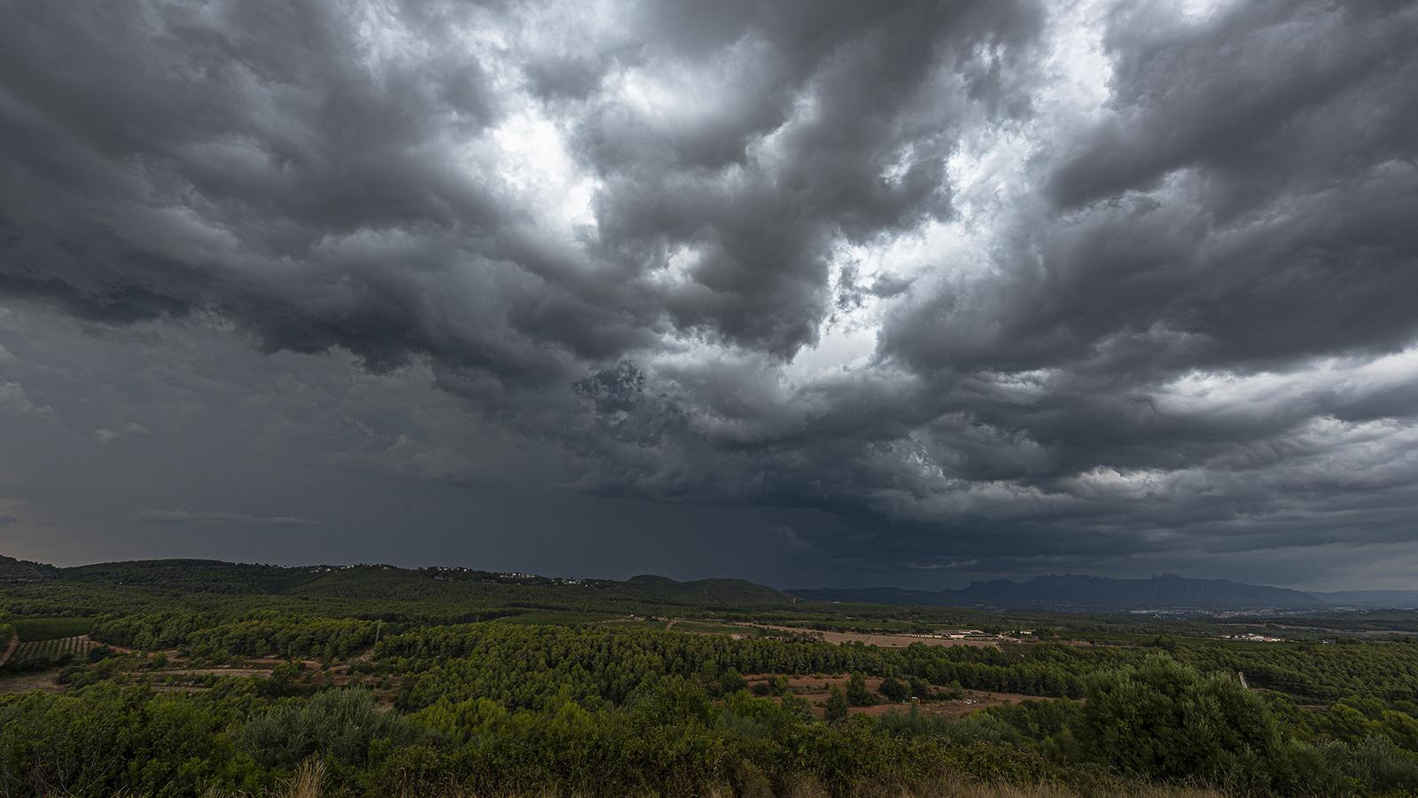

BarcelonaThe mercury has relaxed across the board after a few days of intense heat and this Saturday it reached 36°C or 37°C where it climbed the most. Normal values for the season that suggest a cooling down because we are coming from very high temperatures. Storms were also the protagonists during Saturday afternoon and evening in many places, especially in the northern half and the center of the country, where they were locally accompanied by hail. Notable are the 50 mm accumulated in Artés, in Bages, the 34 mm in Sant Pau de Segúries, in Ripollès, and the 33 mm in Gisclareny, in Berguedà. On Sunday afternoon, instability will already be decreasing and less extensive and intense showers will form.

Sunday: less unsettled weather
The weather will remain unstable on the last day of the week, with a variable and changing sky overall. In the morning, the first showers will fall in the north of the country, and in the afternoon, showers and thunderstorms will repeat, this time mainly in the northern half of the country, locally reaching even coastal areas of the northeast.
All this with temperatures that may still drop a little more, both day and night, especially where it has rained on Saturday afternoon. The night atmosphere has been more pleasant overall and cool in mountain areas, but it has still remained muggy near the sea, with some torrid minimums. The maximums will be of full summer, but with much more moderate heat than in previous days, far from the 40 °C or 41 °C of Friday.
Monday: mercury on the rise
The week will begin with much calmer weather, with many more spells of sunshine practically everywhere. The exception will be found in parts of the coast, where there will be some intervals of low clouds in the morning. Elsewhere, very calm weather, although in the afternoon afternoon showers and thunderstorms will be repeated in the usual regions of the north of the country. The temperature will rise, especially in Ponent, Empordà and the southern coast, while it could drop a little on the central coast and pre-coastal areas.
No major heatwaves in sight
Next week the thermometers will experience some ups and downs, even with intense heat in the middle of the week on a temporary basis. But no extreme heat episode like in recent days is foreseen. In fact, by the end of next week, the temperature could drop more significantly and normalize completely, which has not happened for almost the entire summer. This would translate into bearable heat during the day and mild or cool nights.
New heat records
This summer is being historic and exceptional in terms of heat, and in Catalonia, records continue to be broken. In this regard, Friday was the eighteenth day this year that 40°C has been reached somewhere in the country, a new record for our region of days in a year reaching this extreme figure, beating the record registered last year. The record for torrid nights – above 25°C – has also been broken in the Raval neighborhood of Barcelona, a total of 48 by Saturday this 2026, leaving behind the record of 45 torrid nights from 2022.
Furthermore, on Thursday, a new record for sea heat was registered in L'Estartit, in Baix Empordà. According to observer Josep Pascual, the sea surface temperature one mile from the Medes Islands reached 27.77°C, an unprecedented record since Pascual began taking measurements in 1974 and surpassing the current record from August 2024. This is an exceptional figure, considering it is the oldest series of sea water records in the Mediterranean. It represents a value five degrees above the average.
