Showers and storms will gain ground starting today.
Showers will be irregular, and several regions are on alert for heavy rain.
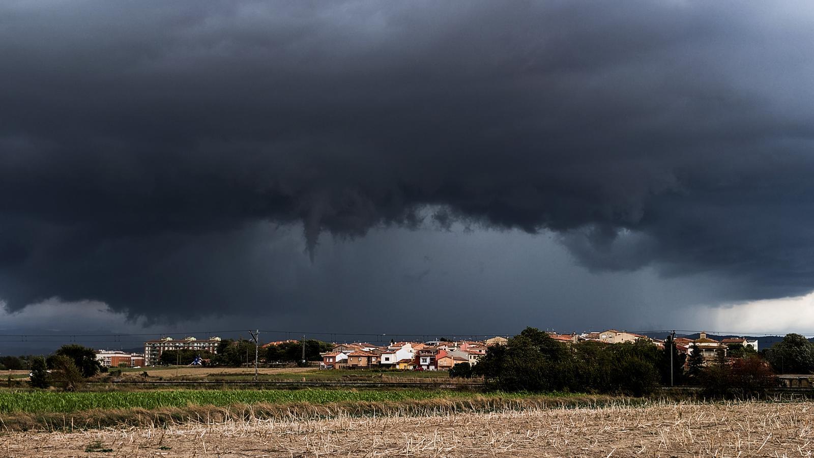
BarcelonaWe're leaving behind a Catalan National Day marked by good weather and stability across virtually the entire country, with the obvious exception of Barcelona and other nearby locations, where showers formed that were locally exceptionally intense and abundant (at the end of this report, you'll find yesterday's rainfall figures). Atmospheric instability will be more widespread today and Saturday due to the passage of a cold front, coinciding with the peak of the long weekend, with irregular showers and thunderstorms affecting more regions and a temporarily low temperature.

Friday: more extensive showers
The weather situation will be more unstable heading into the weekend, due to the passage of a front that will reactivate instability and once again favor the formation of locally intense showers. Scattered showers may fall along the central coast and inland northeast in the morning, and from midday and into the afternoon, showers and thunderstorms will irregularly affect more regions in the northern and eastern half of the country, with some local downpours. Scattered showers may also occur along the southern coast. The weather will be calmer in the far south and in the west, where there could even be quite a few clear spells during the afternoon.
Minimum temperatures have risen slightly due to the presence of clouds, but maximum temperatures will drop, especially in the south of the country. They will generally range between 23 and 28°C, with a mild atmosphere but no intense heat anywhere in the country.
In this regard, the Catalan Meteorological Service maintains a warning of danger due to rainfall intensity affecting the regions of Barcelona, inland Girona, and the Tarragona coast. In these parts of the country, more than 20 l/m² could fall in just half an hour, especially in the regions with an orange warning level (3/6), concentrated on the Barcelona coast and pre-coastline and in Central Catalonia.
Weekend with two faces
Starting Saturday, the north wind will strengthen in the Empordà region, and irregular and locally intense showers will continue in parts of the country, especially in the center and north. This will be the last bout of unstable weather before a calmer Sunday overall, with more wind in the Empordà region and periods of sunshine throughout. All this will come with some ups and downs in temperatures that, overall, will remain near normal, with cool nights and a warm atmosphere far from extremes in the middle of the day, but with a slow recovery of the mercury during the central hours of the day.

Local downpours on the Diada
While sunshine and calm dominated much of the country throughout the Diada, rain began to fall in some neighborhoods of Barcelona in the morning. This continued for hours, with a steady downpour that left surprisingly large and uneven accumulations of water. Of note was the nearly 120 l/m² accumulated in Port Olímpic, a record for rainfall in a single day in this area. In contrast, near Collserola, there was little rain. Irregular showers also fell in other nearby regions, such as Vallès Oriental and Maresme, although not with the same intensity. These are the most notable precipitation records for the Diada:
- Barcelona (Port Olímpic): 119 l/m²
- Barcelona (Poblenou): 70 l/m²
- Barcelona (Raval): 31 l/m²
- Cabrils (Maresme): 12 l/m²
- Barcelona (Gracia): 9 l/m²
- Badalona: 3 l/m²
