Full summer weekend and afternoon showers in some regions
The temperatures will rise, with marked heat and mugginess that will increase next week
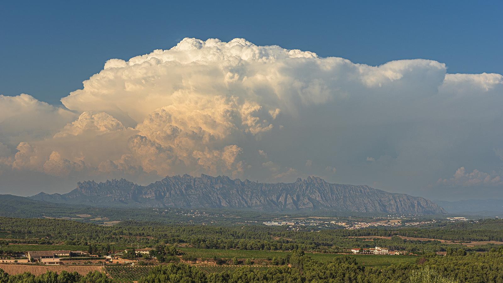
BarcelonaThis Friday was calmer in most of the country, but strong afternoon storms were repeated again concentrated in parts of the Pyrenees, pre-Pyrenees -especially the eastern part- and the northeast, locally with hail or sleet. However, in some cases it rained more than on Thursday, and precipitation again reached parts of the coast. The storms left some notable records, especially between Berguedà and Ripollès, such as the 62 l/m² that fell in Guardiola de Berguedà, the 34 in Sant Pau de Segúries or the 32 in La Quar.
The minimum temperature has risen practically everywhere during the early morning, and the maximums will still rise a little more overall this weekend, with full-blown summer heat and stuffiness. All this with calm mornings and afternoons with irregular showers and thunderstorms in the north and west of the country. Next week the thermometers will rise even more and the umpteenth episode of extreme heat of this summer could arrive.

Saturday: more afternoon showers
The weekend will start with a calm morning. The sun will dominate Saturday morning, with only some morning fog or low clouds, especially in the Ebro, on coastal stretches and in inland valleys.
On the other hand, during the second part of the day, instability will increase again. Between the afternoon and evening, irregular showers and thunderstorms are expected in the Pyrenees and Pre-Pyrenees, but they will also arrive from Aragon to Ponent and the Ports area. Locally they will be strong and may be accompanied by hail or sleet. Meteocat has several counties in these areas on alert for heavy rain.
All this with temperatures that will rise a little more, both day and night. The minimums will rise after the cooling of the last early morning. The cool nights will be maintained in mountain areas and nearby inland areas, but tropical minimums will gain ground again along the coast, the pre-coast and the southern half. Most maximums will range between 33 and 38°C in the pre-coast and inland, while on the coast the sultriness will be marked.
Sunday: intense heat
Temperatures will still rise a little more on Sunday, especially along the coast and pre-coast. It will again be a day of intense heat and mugginess, with many maximums from 33 to 38°C. Sun and calm will dominate, and afternoon showers will be more localized. They will only fall in some spots of the Pyrenees and Pre-Pyrenees, without ruling out any in Els Ports. A profitable day and full of midsummer heat.
Unbridled heat next week
The maps are configuring a new episode of extreme heat for next week. The gust of warm North African air will intensify again, and the atmosphere will be very suffocating in general. Temperatures will reach 40°C again in the hottest inland areas, sleepless nights will become widespread, and suspended dust will increase. Calm will dominate, although some afternoon showers will persist.
