Last day of heat and sultriness, awaiting the thunderstorms to arrive
Warning for heavy rain and first thunderstorms during the afternoon and night

-
CAT -
CAST
BarcelonaThe heat has ended with the arrival of a cold air mass. Temperatures of 40°C will no longer be repeated and the thermometer will drop, but this will be from tomorrow, with a noticeable cooling in high altitudes and inland, especially on Friday and over the weekend. On the coast, this Thursday, we will still suffer from sultriness due to increased humidity and a cloudier sky.
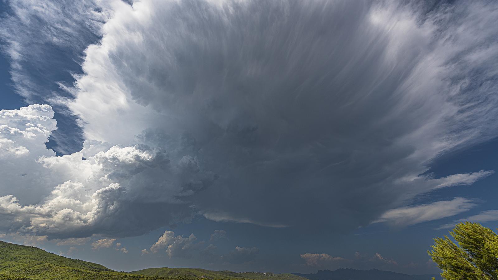
Over the weekend, the thermometer will be a little below what would be expected for this time of year, which will translate into a break during the nights and the disappearance of torrid and tropical nights, at least for a few days. The bad news is that the strong contrast between air masses of very different conditions will generate powerful clouds and storms will break out with force, with some downpours and violent phenomena, such as strong gusts of wind, hail, and sleet.

Thursday: cloudy on the coast and first drizzles
The day will begin with a fairly cloudy sky on the coast due to the entry of an east flow that will bring a lot of humidity. The mugginess will be noticeable and even the fall of some drizzle is not ruled out between the central coast and the Daurada, with areas of calm sea. In the interior, thin clouds will appear and as the morning progresses, evolution clouds will grow.
Temperatures will still remain very high in Ponent and Ebre, and Meteocat has issued a heat warning for these areas of the country.
In the rest of the territory, it will still be very hot, but not as extreme. The highest values will reach up to 38 °C in the Lleida plain and elsewhere will range between 30 and 32 °C (on the coast), with a high muggy sensation, and 36 °C in Central Catalonia.

During the afternoon, the weather will be more uncertain and models indicate the arrival of the first showers in the Pyrenees and western Pre-Pyrenees, as well as in the Ports de Tortosa-Beseit area. Likewise, the sky will be overcast in the eastern Pyrenees, with some thunderstorms in the Ripollès sector and nearby areas.

Radical weather change for Friday
The approach of a cold air trough at high altitude will cause atmospheric instability to gain ground during Friday morning. Early in the morning and for a good part of the morning, thunderstorms could affect a large part of the country, with locally intense storms that could also reach the coast, towards the afternoon-evening. If the forecasts are met, intense storms are expected, which could leave 30 mm in just over half an hour, accompanied by strong gusts of wind, hail or sleet. Accumulations in a few hours, for example, on the southern coast, in the Prelitoral or in Ponent, could exceed 60 or 70 l/m2. In addition, the temperature will drop significantly and the atmosphere will be normal for the time of year. Despite everything, the rain will not water the entire territory and it is possible that in some regions it will rain very little due to the irregularity of these episodes. The warnings for intense rain remain in effect until Saturday morning:

Between Friday and next weekend the atmosphere will cool down and the heat will be bearable, that is, normal for these dates, without reaching the extremes of these last weeks.
Maximums recorded Wednesday:
- Vilanova de Segrià: 41.6 ºC
- Vinebre: 41.3 ºC
- Torroja del Priorat: 41.1 ºC
- Sant Romà d'Abella: 40.8 ºC
- Tàrrega: 40.7 ºC
- Margalef: 40.7 ºC
