Days of anticyclone, a bit of tramontane and heat at bay
Cool nights and hotter days, without reaching extremes
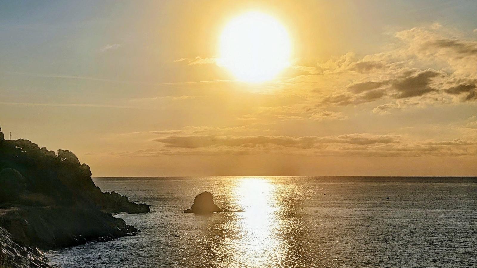

BarcelonaDuring this weekend and the coming days the weather will be almost identical, with some exceptions. Temperatures have normalized and only towards Monday will they be able to rise a little in the West. Apart from sun, some morning fog and some thin clouds, the arrival of weak north and northwest winds will stand out, but nothing more.
During the rest of the weekend, fair weather and a calm atmosphere will prevail. We expect days with pleasant weather to take advantage of, without rain and generally sunny. Temperatures will rise in the middle of the day, but will remain normalized for the season, with morning coolness and controlled heat at midday.

Sunday: more heat
Looking ahead to Sunday, calm will be general. It will be a day of radiant sun to enjoy the outdoors. After a cool (or cold in the Pyrenees) night, with lows of 6 °C or 7 °C in the valleys, the atmosphere will be sunny with very few nuances. Minimums have also dropped in the pre-coastal area, with values close to 5 °C in Prades. Temperatures on Sunday will rise a little more and we will go from the morning chill to a warmer feeling in the middle of the day, although once again without extremes and with values around normal for the time of year. This Saturday, maximums climbed to 33.6 °C at the Riba-roja reservoir or up to 32 °C in Vinebre.
Maximums will reach 32 °C or 33 °C this Sunday on the Lleida plain or in the interior of the Ebro, and in the rest of the area they will move between 26 °C and 30 °C.
In short, in the coming days we will have to dress in layers, since the sweaters or jackets from early in the morning will be in our way at midday. The north wind will stop completely, only to reappear on Monday.

No rain in sight
Looking ahead to next week, the anticyclone will continue to embrace us. This will mean that the sun will dominate without exceptions and it will not rain anywhere, with some morning fog in inland plains and valleys. On Monday, a bit of tramontane and mistral wind will enter at both ends of the country due to the position of the anticyclone. There will be rough seas north of Cap de Begur and along the rest of the coast the sea will remain calm.
No episode of rain or strong storms is in sight, beyond some afternoon showers in the north of the country during the second half of the week.
All this with temperatures that will rise more at the beginning of the week, with more marked heat in the middle of the day, but again without extremes. Between Monday and Tuesday, maximums could climb up to 33 °C or 34 °C in Ponent. The nights will remain cool and the thermometers will stay similar for the rest of the days. We remind you that on Wednesday at dawn, the astronomical autumn will officially arrive.
The models indicate this rebound between Monday and Tuesday, but without reaching extreme heat waves. From the middle of the week, temperatures will normalize again, but no rain is in sight in the medium term.
