How does Google Maps know what time I will arrive?
This is how GPS navigation services work, which in summer we use even more often to move around unknown places

-
CAT -
CAST
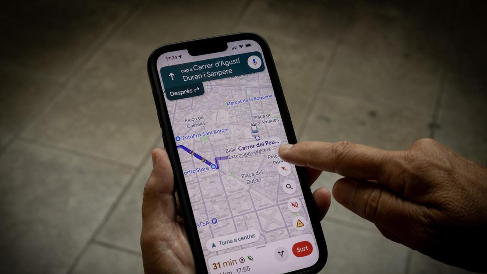
BarcelonaIn the summer, when we very often travel to places we don't know, Google Maps becomes an ally for getting around. How do these GPS navigation services, which are already essential for our daily lives, work?
Google has begun rolling out a navigation interface redesign to Android Auto called "immersive navigation": the map is displayed in 3D, lanes are marked more precisely before each turn, and pedestrian crossings appear. Gemini, Google's AI, allows for more precise commands to the navigator and adds a speedometer that warns if the speed limit is exceeded. The novelty, announced in the spring of 2026, is being rolled out gradually since July and currently only reaches cars, not the mobile app. Beneath this aesthetic redesign, the basic functionality of Google Maps has not changed: displaying a map, locating the user's position on it, proposing the most suitable route between origin and destination, and estimating the arrival time (ETA).
The most used service
Google Maps is an easy-to-explain service, but it requires combining various technologies, and Google has made it the undisputed leader in the sector, largely thanks to it being pre-installed on most Android phones. In the United States, it controls around 67% of the market, ahead of Apple Maps (25%) and Waze (8%), according to ComScore data; globally, it exceeds 2 billion active users, a figure that Sundar Pichai himself confirmed at the end of 2024.
Waze, of Israeli origin but bought by Google in 2013 for over 1 billion dollars, continues to operate as an independent application, with around 50 million monthly users in the European Union. It shares traffic and mapping data with Maps, but remains focused on active driver participation: reporting speed cameras, checkpoints, accidents, or traffic jams in real-time, a dynamic that makes it especially popular for urban journeys and that Google has preferred to keep as a separate brand rather than merging it with Maps. It has also, for years, been one of the few applications with voice navigation in Catalan, a feature that Google Maps did not incorporate until June 2023.
The use of each application varies depending on the type of journey. Waze concentrates a good part of its activity on short and repetitive commutes, while Google Maps prevails on longer routes or in unfamiliar places, precisely the use that multiplies in the summer with trips and weekend getaways.
Receive signals, don't transmit them
To locate a mobile phone on a map, it is necessary to use one of the global navigation satellite systems (GNSS): the North American GPS, the European Galileo, the Russian GLONASS, or the Chinese BeiDou. It is worth clarifying how they work, because they are often taken for granted in reverse: satellites do not receive anything from mobile phones, they simply constantly emit signals with their position and the exact time. It is the device that receives them, calculates the time it has taken for each signal to arrive, and by comparing at least four of them, it deduces its own position through trilateration. GPS, therefore, is a reception system, not an emission system: the mobile phone does not notify anyone of its location, it only calculates it locally, without the need for any internet connection. That this position is made known to someone else is a different matter, which no longer depends on GPS but on the internet: it is the same mechanism that WhatsApp or Telegram use when someone shares their live location with a contact.
Current mobile phones do not depend on a single constellation. Since 2017, most positioning chips capture signals from various GNSS systems simultaneously, which multiplies the number of visible satellites at any given moment and improves accuracy, especially in the middle of cities with tall buildings, where signals bounce and distort. The European Galileo system, for example, offers a free accuracy of one meter in its open service, and up to 20 centimeters in the high-accuracy service launched in 2023.
Phones refine this calculation with the so-called A-GPS (Assisted GPS), which receives data via the mobile network that speeds up localization, and combine it with the triangulation of telephone towers and with databases of nearby Wi-Fi networks. A modern device with A-GPS usually positions itself with an error margin of 7 to 13 meters in the open air; inside buildings or between skyscrapers, accuracy degrades notably.
The mobile connection
With the mobile phone already connected, the next step is to calculate the route and predict when we will arrive. Here the mobile phone stops being a simple receiver and also becomes a transmitter: it sends its position and speed in real time to Google's servers, anonymously. Multiplied by millions of devices circulating simultaneously, this data flow allows us to measure the traffic density on each section of the road and recalculate the route and arrival time as the journey progresses. This same principle is also used by other navigation services, such as Apple Maps or Here.
To do this, Google divides the road network into one million predefined "supersegments" and uses graph neural networks, developed with DeepMind, to combine this real-time traffic with historical patterns. Johann Lau, product manager for Google Maps, assures that the result is reliable in more than 97% of journeys. The method was detailed in an academic paper presented in 2021 at the CIKM conference.
Maps made of many pieces
The background map is built by combining satellite images, aerial photography with photogrammetry techniques, Street View cars circulating since 2007, and official cartographic data, such as that from the Cartographic and Geological Institute of Catalonia or the cadastre. In areas of the world where these official sources are scarce, Google uses machine learning to identify roads and buildings directly from the images.
The names of restaurants, shops, or monuments, the so-called points of interest (POI), come mainly from the files that companies themselves fill out in Google Business Profile and from geolocation platforms like Foursquare, which boasts over 100 million POIs that users from all over the world contribute. Businesses can pay Google to appear prominently in map results.
This diversity of sources explains why, from time to time, there are incidents with Catalan toponymy. In 2011, Google Maps translated hundreds of street names into Spanish (Barcelona's "ronda de Dalt" became "ronda de Arriba" and, in Olot, Josep Pla street became "calle de José Placita"), an error that the company then attributed to the database of Tele Atlas, its cartographic provider at the time. Several drivers of Kia vehicles have recently complained about the Hispanization of street names in the integrated navigation system of these cars, which in Europe uses TomTom maps.
