Peak of the little summer before a more active front that will bring showers and more wind
Temperatures will hit the ceiling on Wednesday, with an environment too warm for the time of year

-
CAT -
CAST
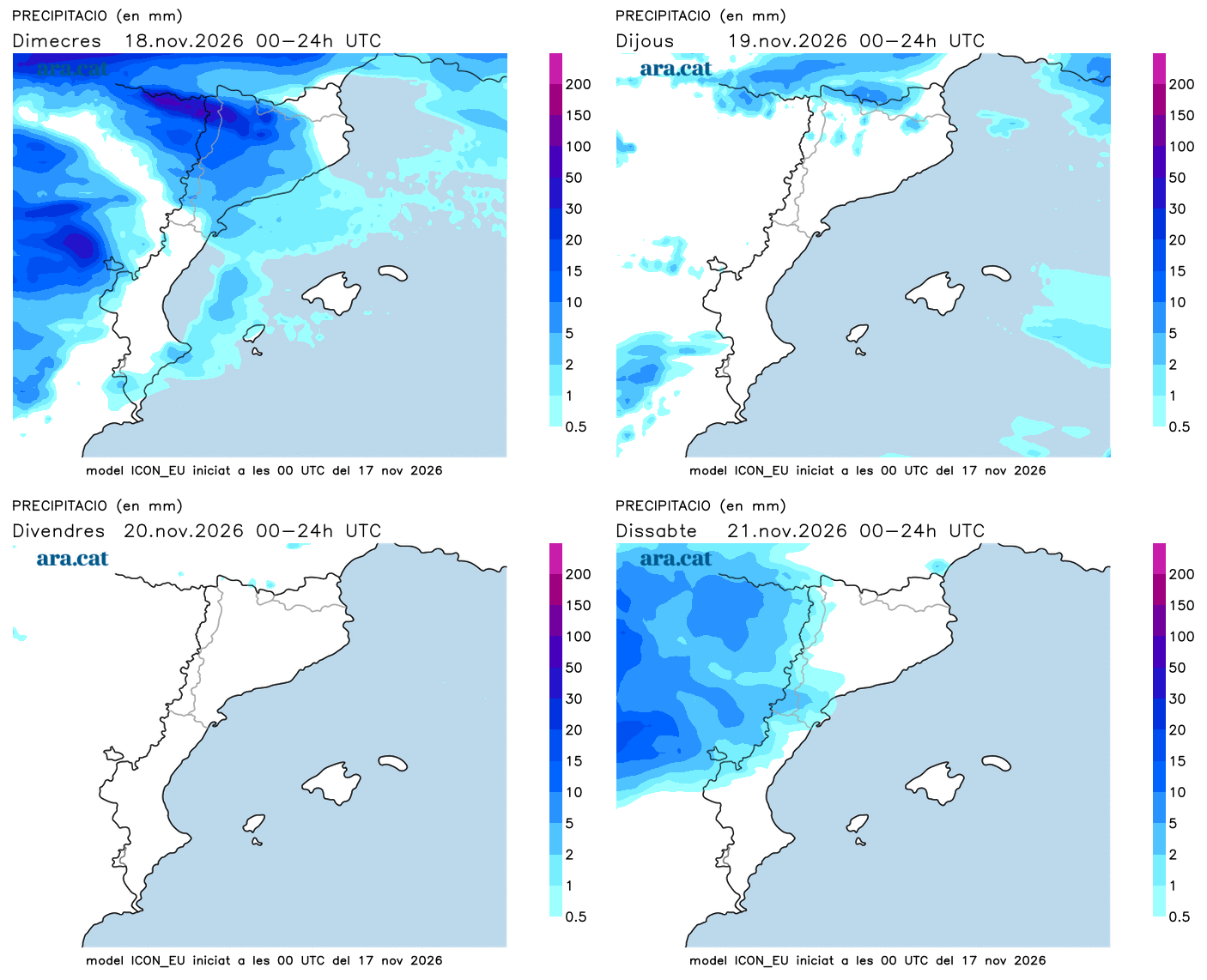
BarcelonaWe remain immersed in an Atlantic dynamic that sends us instability at half throttle. The fronts reach us worn out, with many clouds and little rain. Until nightfall, some drizzles or weak showers will continue to escape in the Lleida regions. Furthermore, this Tuesday the wind from the west and southwest has strengthened and blown hard, especially in areas of Girona and Barcelona, with gusts between 50 and 75 km/h in regions like La Selva, the two Vallesos, Osona, and El Bages. Highlights include the maximum gust of up to 118 km/h at the 1,666 m altitude of Montseny – at Puig Sesolles – and the 74 km/h recorded in Santa Coloma de Farners (La Selva). A warm wind that has kept the atmosphere very mild. This Wednesday, temperatures will soar further and the mini-summer will peak, with warm values for the season. All this before a more active front brings precipitation and strong wind between Wednesday afternoon and Thursday dawn.

Wednesday: heat for this time of year
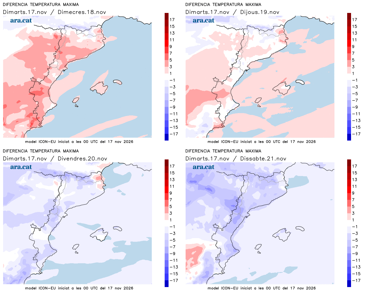
Temperatures will peak this Wednesday, both during the day and at night. A morning that is not cold at all, and in the middle of the day the environment will be clearly warm for the time of year, with values between 4 and 8 degrees above average. Many highs of 20 to 25 ºC are expected, the highest in the coast, the pre-coastal area and the south, due to the reheated westerly wind, which will continue to blow.
In the morning there will be more clearings than in the afternoon, although there will already be a lot of cloudiness and some showers in the Pyrenees and Pre-Pyrenees of Lleida. It will be from the afternoon that a more active Atlantic front will approach and will cause a new increase in cloudiness, with showers that will initially fall in the west but will circulate rapidly in an eastward direction.

This situation will continue until dawn, with light showers that may fall in a scattered way in any spot. Little to worry about, but in the Pyrenees and the Pre-Pyrenees of Lleida, the precipitation will be more significant, with a snow level that will drop from 2,700 m to 2,400 m. Once the front passes, the westerly wind will be significant in many regions.
Strong wind and drop in temperatures
On Thursday dawn and morning, once the front of showers passes, the west wind will blow strongly in many regions, especially in the center and south of the country and in elevated areas, as well as in the Valencian Community and the Balearic Islands. The sun will prevail from then on, with little risk of rain and temperatures that will drop. A second part of the week that is clearly more autumnal awaits us.