Watching the sky in various regions today and this long weekend
Showers and thunderstorms will gain ground and can be locally strong
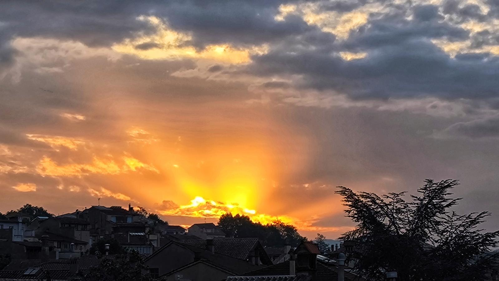


We are on the eve of a long May Day weekend that is shaping up to be typically spring-like, with instability and a lot of variability. Therefore, the saying will hold true: in May, every day a lightning strike. The influence of a small bulge of cold air will facilitate the growth of powerful cloudiness that will bring irregular storms and showers in various regions, especially in the western half and the north of the country. This Thursday, several regions are on alert for intense rain, especially in Central Catalonia, the eastern Pyrenees and Pre-Pyrenees, and Lleida. Wherever they fall, some local downpours may occur, with occasional hail or sleet. In fact, yesterday we already had the first scattered showers or mud drizzles, with a variable or overcast sky due to the passage of cloud bands and the presence of suspended dust. Temperatures have remained and will remain high for the dates, although they will tend to drop over the weekend.

Thursday: more storms
The sky will remain changeable and variable due to the presence of dust in suspension and the passage of cloud bands on the last day of April. In the morning, there may be some weak and scattered drizzles or showers, especially in the interior, on the southern face of the Pyrenees and in the Pre-Pyrenees. Not much for now, waiting for the cloud cover to grow significantly and from mid-morning onwards, and especially towards the afternoon, to bring irregular downpours and storms in the Pyrenees, Pre-Pyrenees, Central Catalonia, the Els Ports area, and in parts of Ponent.

Locally there will be showers that may be accompanied by hailstorms or some hail. Meteocat has activated the alert for heavy rain that could leave more than 20 l/m² in just half an hour in various regions.
In the rest of the country, variability will continue, with less risk of showers, especially on the coast, although some may fall in more areas of the northeast late in the day. All this with temperatures that will rise a little, both the minimums and maximums, with cool or mild mornings, and warm afternoons. Many maximums will range between 23 and 28 °C, but where it rains, it will cool down suddenly. Furthermore, the water will be accompanied by mud.
A lightning strike every day
Friday –a holiday, the First of May– instability will remain, with new showers and storms that will mainly affect the Pyrenees and western Pre-Pyrenees, but also other mountainous areas and the western half of the country. Over the weekend, uncertainty is at its maximum. Depending on the final position of the cold air pocket and the more or less active arrival of a front, precipitation will be distributed in one place or another.
With current maps, it could rain in many regions on Saturday. A front of showers and storms would arrive from the west, mainly affecting the regions of Lleida, Tarragona, the Pyrenees, and Pre-Pyrenees, while most regions of Barcelona and Girona would remain somewhat more on the sidelines. And on Sunday, it wouldn't clear up, with new scattered showers. A situation that we will have to follow closely, as many people have plans to take advantage of the three-day holiday. Temperatures would drop.
