An unstable week begins and with more coolness: where can it rain this Monday?
The temperature will normalize at the end of next week
-
CAT -
CAST
BarcelonaThe weekend has been marked by fairly calm weather, with temperatures that have been dropping and which yesterday did not exceed 31 ºC in the warmest areas of Ponent and the Ebro valley. Values are still very high for this time of year, but nothing like the nearly 38 ºC of previous days. After so many days of anticyclones and atypically summery heat, this coming week promises to be much more unsettled and cooler, with rain that will end up making an appearance in practically every part of the country throughout the days, and thermometers that will continue to drop. It seems that autumn, now yes, wants to make itself truly felt.

Monday: the first rains arrive
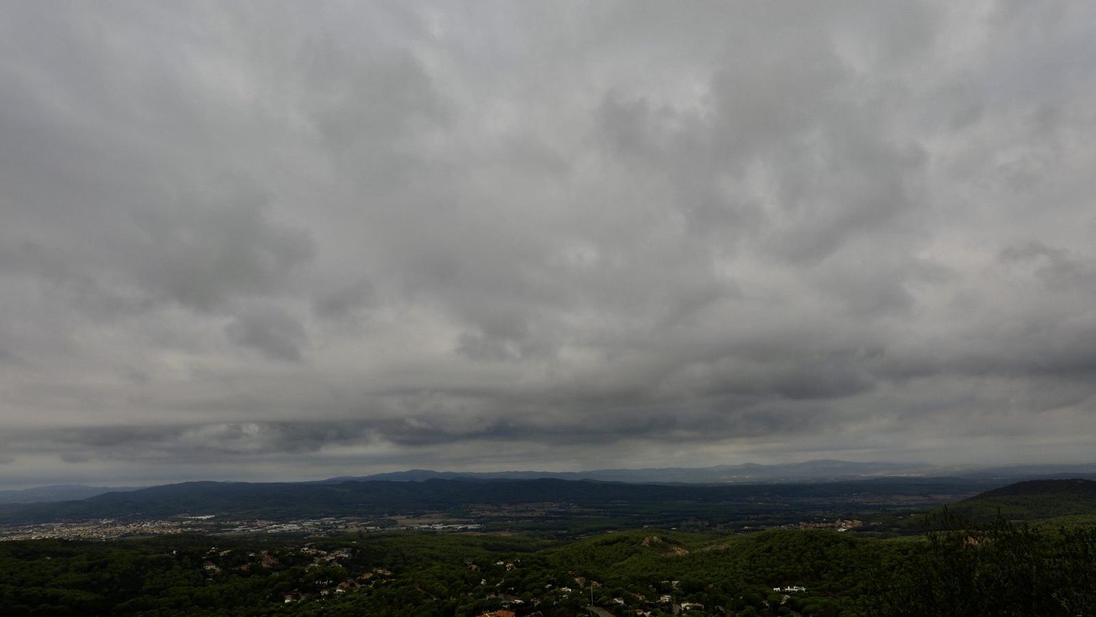
Start of the week with a clear increase in instability that will make us notice the retreat of the anticyclone. Clouds will be very present throughout the day, more abundant early in the morning on the coast, where the first showers will appear throughout the morning. During the afternoon and night, scattered showers will continue in parts of the coast and pre-coast, but they will also reach more regions irregularly, especially on the southern side of the Pyrenees and Pre-Pyrenees. In principle, not much, without ruling out some locally intense downpours. The maximum temperature will drop everywhere and the highest values will remain below 30 ºC.

An increase in instability that will be mainly the result of very humid sea winds. The Meteorological Service of Catalonia has already issued warnings for rainfall intensity during the morning and afternoon of Monday on the coast and pre-coastal areas. These warnings will also remain in effect until Tuesday afternoon, a more unsettled day when it will be more likely to rain more heavily.
Tuesday: more rain
The rainiest day of the week could be Tuesday, with a meteorological situation marked by showers, locally intense in some points of the coast, the pre-coastal area, and the western Pyrenees. Precipitation will reach practically every region, with an abundant presence of cloudiness. The temperature will be more restrained at midday, with many highs between 23 and 27 ºC.
