Alert for torrential downpours in many regions today
Showers and storms can leave significant accumulations of water in a short time

-
CAT -
CAST
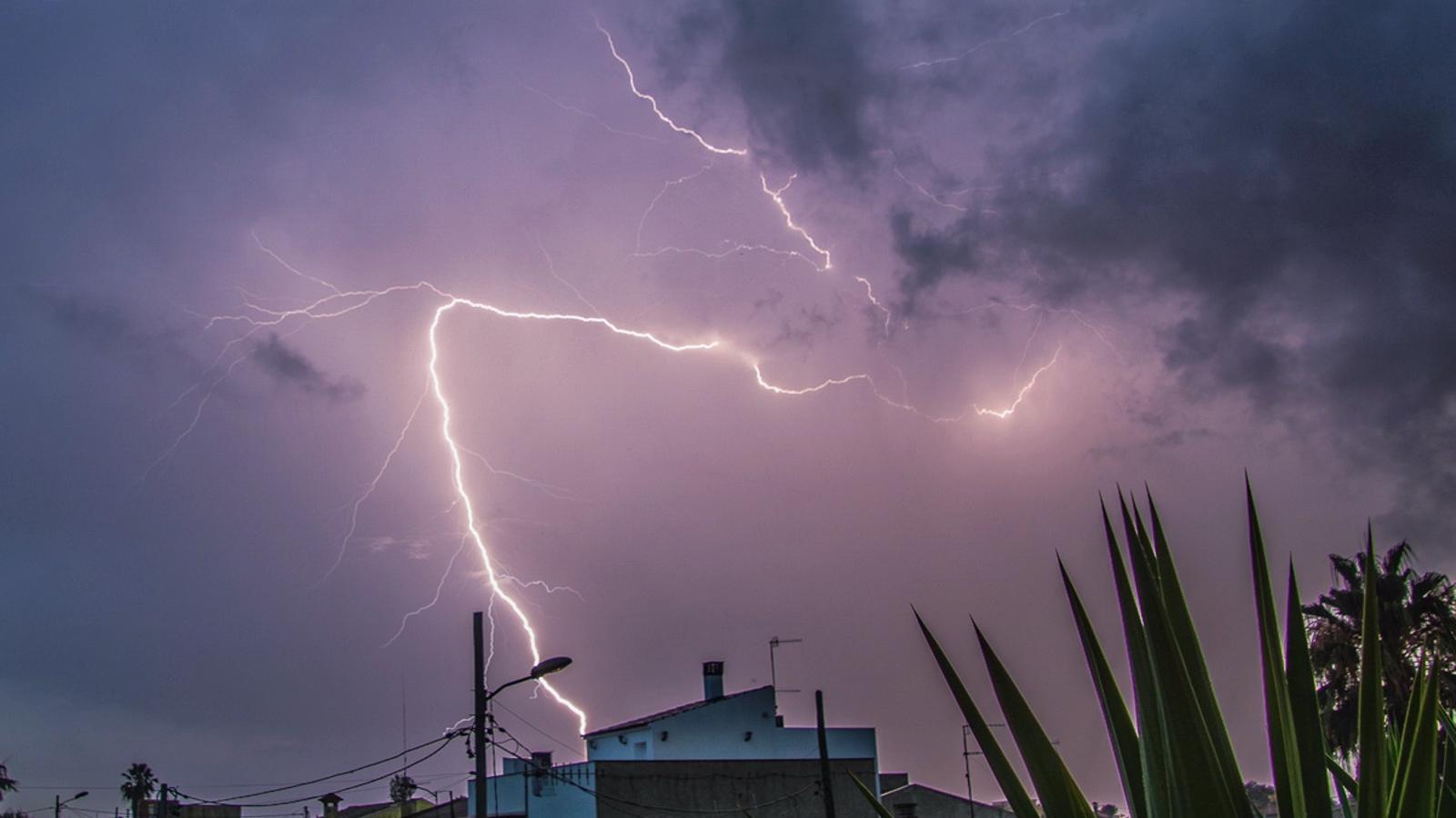
BarcelonaThis Tuesday brings the peak of the instability, with a round of downpours and storms that is leaving behind the classic torrential rains of late summer and early autumn, further fueled by sea water that is warmer than it should be. At dawn, it already began to rain in some regions, especially in the center and south of the country, and throughout the morning the bulk of the precipitation has been concentrating on the coast and pre-coast of Barcelona. Where it has rained the most so far is between the south of Anoia, Alt Penedès, and Garraf, with some local accumulations of more than 90 or 100 l/m² in just three hours, which has caused rivers and streams to rise suddenly. This is the case of the Anoia river, which has reached the danger threshold, with a flow that has suddenly risen to 93 m³/s. In these areas, an alert has been sent due to the risk of flooding.
There are many regions under warning for intense rain, especially on the coast and pre-coast. In the Barcelona area and nearby regions, the alert is red. The most significant rain will move towards the northeast. Furthermore, the weather will remain unsettled throughout the week. Temperatures will drop and it will be less hot in general.

Tuesday: risk of downpours
The weather will be quite unsettled this Tuesday. Since early morning it has started to rain in some places, and during the morning showers and storms will reactivate and will mainly affect points along the coast and pre-coastal areas, especially in Tarragona and Barcelona. They will be irregular, but where they fall they could do so with force and leave a lot of water in a short time. Even so, they may appear in more regions, especially in the north of the country. Meteocat has activated alerts in many regions for accumulations of more than 40 l/m² in half an hour or more than 90 l/m² in three hours, without ruling out local records of 150 l/m². The alert is red for the entire Barcelona area and up to La Selva.
Towards the afternoon, the main event of the episode will move to the northeast and the southern face of the Pyrenees and Pre-Pyrenees, although irregular downpours will continue to fall in other areas, especially along the coast and pre-coastal regions. Pay attention to the downpours, as they can be torrential and cause flooding or the sudden rising of rivers and streams. The weather will be calmer in the Valencian Community and especially in the Balearic Islands.

All this with temperatures that early in the morning will remain similar to Monday's, with an atmosphere between cool and mild. But the maximums will drop clearly, especially inland, with less heat in general. Many values from 23 to 27 °C are expected, locally higher in the south, and lower in mountain areas.
New showers in sight
The weather will remain unsettled throughout the week. On Wednesday, little rain is expected, with variable skies. However, heading into Thursday, showers and thunderstorms will gain ground again, especially in the afternoon, with some downpours. Friday and the weekend will continue to see scattered showers in some regions. All of this with temperatures that will rise temporarily on Wednesday, but will subsequently decrease. As the days pass, they will gradually tend to normalize.
