Afternoon showers in the north on a new day of spring mildness
The mercury will begin to drop starting Tuesday

BarcelonaWe leave behind a weekend of very different weather, with a rainy Saturday afternoon in many places and a sunny Sunday, at least during the first half of the day. During the afternoon, cloudiness will progressively increase and from sunset onwards, showers will fall in the western half and in other nearby regions, not reaching the eastern half of the country. All this on the eve of a week that will begin gently, but which will set us back a few weeks in terms of temperature.

Monday: showers in the Pyrenees
The week will begin with a very placid weather situation, still marked by the dominance of sunshine practically everywhere and with temperatures that will rise a little more. Morning with some unimportant streaks of high and medium clouds and afternoon with cloudy skies in the Pyrenees and some showers in this sector of the country and also in the northeast. All this, however, very minor. Maximum temperatures will be around 25 °C to 26 °C in many places, with an atmosphere typical of early May.

Tuesday: thermal descent begins
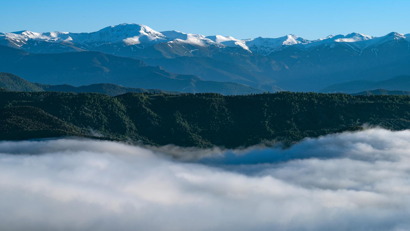
Cold air will gain ground in Europe from Tuesday onwards and will also make the atmosphere a little cooler in our home, especially in the eastern half. A day of contrasts with a morning dominated by the sun and an afternoon with many clouds and precipitation in many regions, practically everywhere. In fact, some thunderstorms or hail are not ruled out, with snow at high altitudes in the Pyrenean mountain range.
Cooler from mid-week
The polar air mass that will cross the continent will leave us with a more noticeable drop in temperature from Thursday until the weekend, when the atmosphere will be more typical of March or early April than mid-May. After an extraordinarily warm April, it seems that May wants to compensate, with no great heat in sight and temperatures below the climatic average.
