Enric Aguilar: "In the year 2027 there will be a global temperature record because we have the Super El Niño"
Climatologist

-
CAT -
CAST
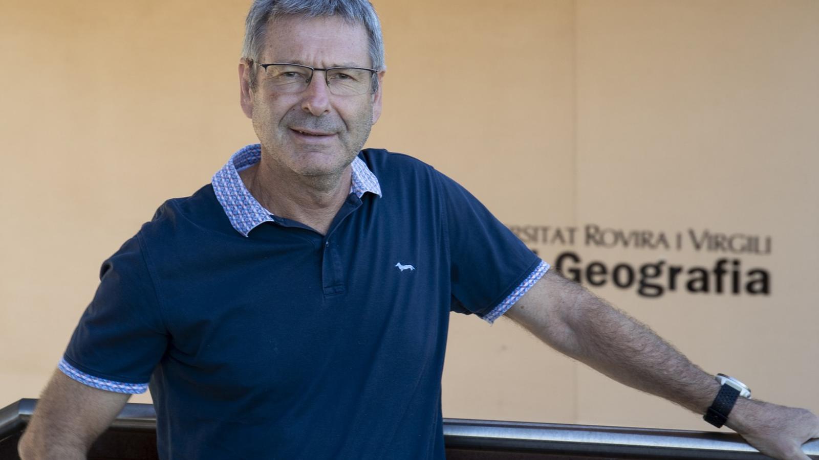
Born in Tarragona in 1969, Enric Aguilar Anfrons has been linked to the Rovira i Virgili University since its creation. He is a climatologist by profession and has held a doctorate since 2000, with a thesis that studied climate change in Antarctica. A large part of his career has been linked to the World Meteorological Organization (WMO), a United Nations agency for weather, water, and climate. Aguilar is the director of the University Institute for Research on Sustainability, Climate Change and Energy Transition (IU-RESCAT).
Did you expect a summer as hot as the one in 2026?
— It falls within the possibilities. It is no surprise. There is a margin of variability and for one summer to be cooler than others, but there is a factor that makes the trend lean towards increasing the temperature: the sea temperature. With a higher temperature, its cooling effect ceases to exist and we are heading towards warmer summers and, above all, much warmer nights.
It seems that climate change is accelerating in the Mediterranean area.
— It is accelerating within a normality. No decisive action has been taken regarding climate change, and little by little, the less optimistic scenarios are consolidating. In 2017, the Paris Agreement stated that if we did nothing, we would exceed 1.5 degrees above pre-industrial levels by 2045. And now, if we do nothing, we will exceed 1.5 degrees by 2030. That is the day after tomorrow. The accumulation of greenhouse gases is modifying the system. The key is the ocean. It has accumulated a lot of heat. In 2025, there was not a single day without a heatwave in at least some part of the planet. We are heading towards an acceleration of this climate change, with scenarios of 3 or 4 degrees more than in the pre-industrial era by the end of the century and, in the worst case, 8 degrees more. The year 2027 will be a record for global temperature because we have the Super El Niño.
What exactly is the Superniño?
— It is a very big Niño El Niño or La Niña is a natural oscillation between a warm phase and a cold phase. In the eastern Pacific Ocean, off the coasts of Peru, there is a cold current that upwells and the trade winds carry it along. Every year there is a moment when this slows down, those waters stop upwelling, and from cold they become warm. It happens around Christmas and, for this reason, it is called El Niño or La Niña. There are times when this starts earlier and persists, and this year in March it already began. El Niño has a series of cascade effects that are different in different places.
Which ones?
— When there is an El Niño year, the average temperature is above normal. It is as if they were doping climate change. Temperatures rise even further. La Niña causes temperatures to drop, but the baseline level is already high. La Niñas are warmer than they were in the eighties. Next year, the temperatures of 2024 will be surpassed. And this 2026 we have had El Niño since May. Temperature records are now ephemeral. Since we have had records, they are being surpassed. A start of September like this one, with temperatures above 40 degrees, is not normal.
Has normality changed?
— Yes, we are heading towards a different normality. If we calculate heatwaves using data from 1961 to 1990, the entire summer this year is a heatwave, but if you calculate it, as we do now, with data from 1991 to 2020, there are heatwave days and others that are not. Soon we will have to change the thermal value to calculate heatwaves. In Tarragona we must now be at more than 90% of tropical nights (more than 20 degrees). It ceases to make sense. Almost in all of Catalonia the entire summer is a tropical night.
Does the high sea temperature also cause these intense rains like those at the end of this August?
— We have a student who is doing a final degree project with a meteorological model that is simulating the DANA in Tarragona in the autumn of 2024 but with sea temperatures from the pre-industrial era, and it would rain much less. This experiment was done with the Valencia DANA using a more powerful machine and it was very clear. If you change the sea temperature and the available potential energy, it rains less and it affects less territory. The effects would have been less devastating.
Is it difficult to forecast where rainfall like that of this end of August in Tarragona will fall?
— You can say that there is a risk of hailstorms, but saying exactly where it will fall is difficult. I didn't even see the second storm on the afternoon of August 24th on the radar. I found it right on top of me. They generate very quickly and are very violent.
Should the Generalitat's ES-Alerts be treated differently?
— It is very complicated. With ES-Alert you can only make a recommendation and the mechanism does not have the capacity to be descriptive enough. When do you see the storm forming? An hour before? It is very good to warn an hour before, but you must have educated the people about what this storm means. The alert should have a very clear protocol, with precipitation thresholds that mark what type of alert it is. A DANA can be seen coming 72 hours in advance, but where it will discharge and cause damage is seen with less anticipation and, a phenomenon like the one in August, when it is right on top of you. You can warn people about all this, but you must have people very well educated about what they have to do in each circumstance depending on each message. We lack the understanding that we are in a territory where there are very evident meteorological risks and we must be prepared.
Will these episodes keep repeating?
— These episodes have always existed, but now these phenomena are occurring with greater frequency and intensity and, furthermore, on a territory that is more occupied and will be even more so. It is a cocktail that we must be careful with. In Tarragona, one only needs to look at what will happen around the Nàstic stadium. They want to urbanize everything. Where will the water pass through? La Vall de l'Arrabassada is a neighborhood built between two ravines. Urbanistically, it is an atrocity. You can build good drains and collectors, but the water will still come down. And it is fortunate that the surrounding mountains are modest.
This end of summer we have talked a lot about water, but three years ago we were talking about drought.
— Let's go to Raimon, who sang that in my country the rain does not know how to rain. The Mediterranean is drought and torrential rain and in winter, moderate rain. Future projections indicate that it must rain less and with more irregularity. Since the temperature is higher there is more evaporation and the available water decreases and our climate becomes more arid.
What are they currently researching from the IU-RESCAT regarding climate change?
— We are working extensively in African countries conducting analysis of their climate evolution and climate data rescue, which means converting data that is on paper into numbers using AI. We are training climate services, creating study plans for South America, but also for water activities, such as surfing. And we also work on climate change regarding different elements of the Camp de Tarragona: vineyards, cities, tourism, energy transition, and water.
