World maps and white fragility

-
CAT -
CAST
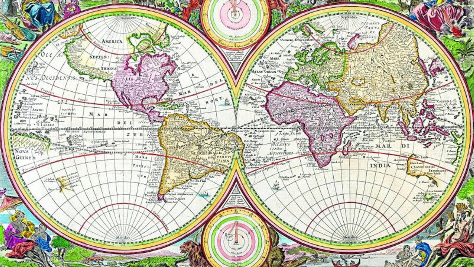
Imagine discovering that the map with which you studied state borders and understood the distribution of the oceans and continents is built upon an intentional lie. This has been the reality that half the world encountered last Friday following the historic decision by the UN General Assembly to abandon the classic Mercator cartographic projection in favor of other models that provide an accurate representation of the actual size of countries and continents, such as Equal Earth.The map by cartographer Gerardus Mercator was born in 1569, with a Eurocentric bias that has been justified by the logic of its utility for navigation, despite the excessive oversizing of territories as they move away from the Equator. Conceived in a context of the expansion of European imperialism over the global south, this cartographic manipulation has stood the test of time and has proven to be a propagandistic configuration in favor of Western and Euro-descendant regions. Its design of our world influences our perception of the greatness of the Old Continent, to the detriment of territories in the southern hemisphere such as South America or Africa, a continent fourteen times larger than Greenland and which the Flemish geographer chose to represent in a size comparable to that of the northern territory.This distortion of reality perfectly portrays white fragility, a concept coined by whiteness scholar Robin DiAngelo that describes the defensive response to the slightest challenge to the white racial position. Intolerance towards the questioning of white supremacy seeks to maintain and/or restore the white privilege inherited from a colonial past favorable to Euro-descendant regions. The persistence of a fictitious map over half a millennium and the neutralization of any alternative proposal—such as the Gall-Peters projection, championed for more than 50 years by entities and international organizations like UNESCO—seek to preserve an imperialist representation of the world, maintaining the illusion of naturalized greatness from which the dominance over the Global South, which has already lasted more than 500 years, has been sustained.
The resolution voted on at the last United Nations assembly proposed by Togo was approved with 164 votes in favor, six abstentions, and a single vote against, coming from the United States. The same administration that unilaterally appropriated the names of the Gulf of Mexico and Lake Ontario, calling them the Gulf and Lake of America, has been capable of voting against scientific evidence, alleging that the claim for change responds to “an ideological agenda.” As defended by the Togolese Minister of Foreign Affairs, Robert Dussey, maps are a representation of the balances of power that guide education and that mark our narratives about territories and history. That maps correspond to reality responds to “an act of cognitive justice and historical reparation” that is urgent and must be non-negotiable for us.The interpretation of the world from a Eurocentric prism is functional for a conception of the world that sees non-Western territories as heritage. It is a pathology that uncovers a fragility that imperialist territories have resisted facing for too long, fearing that the weight of reality would diminish the West in collective consciousness.However, I cannot deny a genuine hope that the UN resolution will be a precedent that opens the door to more gestures of restitution of the dignity of historically oppressed territories, from the return of pieces from Global South cultures that populate European museums to the debate on the reparation of the wounds of colonialism.
