Showers until the night and a forceful cooling down
The temperatures will be normal for the time of year over the next few days, with no new changes in sight
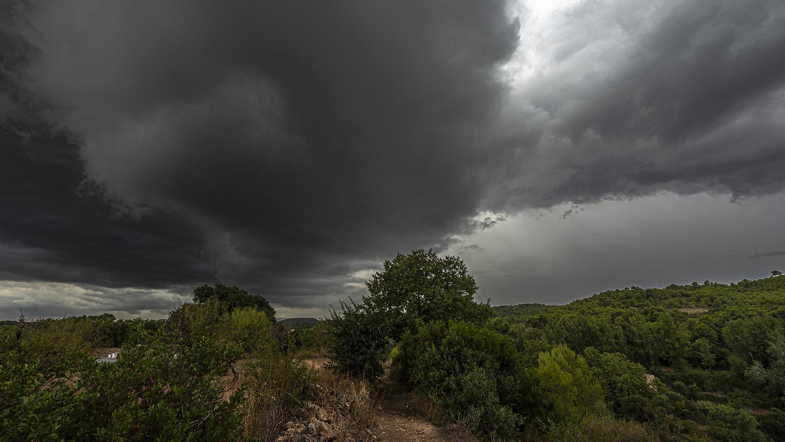

BarcelonaThe change in weather this Wednesday has caused downpours and storms in several regions. Ultimately, the heavy rains were not as significant or widespread in the areas that were under a red alert on the coast and pre-coastal areas of Barcelona, where it rained heavily only in the early morning. However, in the afternoon, intense thunderstorms were repeated in the Barcelona area. The most significant rainfall finally moved to the north of the country, especially in the Pyrenees and the eastern Pre-Pyrenees, where 50 l/m² were widely exceeded, and in some cases, it was close to reaching 100 l/m². Regions like La Garrotxa suffered violent phenomena, such as strong winds and hailstorms. On the island of Mallorca, there were also significant downpours with many incidents (you will find the most notable data and images of the episode at the end of this report).
Until dinnertime, some irregular showers will repeat in points along the coast, pre-coastal areas, and the northeast, without ruling out some locally intense storms accompanied by hail, sleet, or strong gusts of wind. It may even rain on the Costa Daurada at night. But all of this will fade away, and starting this Thursday, sun and calm will dominate again, with north winds still present at the extremes. The coming night will be suddenly cooler and without tropical minimum temperatures anywhere. And although maximum temperatures will rise after Wednesday's thermal drop, the heat will be kept at bay and normal for this time of year throughout the week. Let's take the opportunity to open windows and cool down our homes. Summer is fading away, and the historic heatwaves will not be repeated.

Thursday: calm and heat in check
This Thursday we will wake up to much cooler temperatures in general. Many lows of 9 °C to 14 °C are expected inland, while the coast will also drop below 20 °C generally. In mountain areas it will even be cold, especially in the Pyrenees and Pre-Pyrenees, where it will drop below 5 °C at medium and high altitudes. Therefore, in several regions a good sweater will be needed early in the morning. A night with the first autumn breezes that will help cool down an environment very heated after an extraordinarily sweltering summer.
In the morning there will be some fog, especially in the inland areas of the northeast most affected by the downpours of the last few hours. A sunny Thursday is expected in general, with some decorative brushstrokes of thin clouds and few nuances. Only between the south of Valencia and Alicante, as well as in the Pityusic Islands and Mallorca, will there be some locally intense irregular downpours and thunderstorms.

Maximum temperatures will rise slightly, but will be kept in check and with a bearable heat completely normalized for the dates. Most records will move between 24 °C and 28 °C, and around 30 °C in Ponent and the Ebro valley. The humidity will also ease clearly on the coast. The tramontana wind will continue throughout the day in the Empordà, with the strongest gusts in the early morning and in the morning, while the mistral will lose momentum throughout the day in the Ebro.
No major changes in sight
Both Friday –National Day of Catalonia and a holiday throughout the country– and the weekend will be marked by absolute calm. The sun will dominate overall with few nuances. Perhaps on Saturday low clouds will increase near the sea, but without further consequences. No new episode of downpours or rain is in sight.
Despite this stability, temperatures will suffer few changes, with small ups and downs, but always within the line of normality. Therefore, days with bearable heat during the day and cool at night await us. Now, it seems that summer is slowly retreating, and no new episodes of intense heat are foreseen in the long term.
Assessment of the severe storms
Wednesday began with heavy storms early in the morning in parts of Garraf, Penedès, and the north of Vallès. Downpours that left a fair amount of rain in a short time, but which lasted briefly and did not record large accumulations of water in general, with the exception of coastal sections of Garraf. The main event moved to the eastern Pyrenees and Pre-Pyrenees, as well as nearby areas. Regions such as Ripollès, Garrotxa, the north of Berguedà, and Lluçanès received rain throughout much of the day, with some heavy bursts of water, strong winds, and hail. It is in these areas where between 50 and 100 l/m² were recorded.
During the afternoon, irregular storms were reactivated in other areas, such as the Barcelona area. A rain that helped cool the environment, as thermometers plummeted compared to Tuesday. The downpours were also torrential in Mallorca, where they well exceeded 50 l/m². All of this caused some flooding and numerous incidents. These are the most notable records and images of the episode:
- 94 l/m²: Alpens
- 81 l/m²: Sant Joan de les Abadesses
- 76 l/m²: Campdevànol
- 62 l/m²: La Quar
- 57 l/m²: Sant Pau de Segúries
- 53 l/m²: Olot
- 52 l/m²: Sitges
- 52 l/m²: Castellar de n’Hug
- 47 l/m²: Castellbisbal
- 41 l/m²: La Vall d’en Bas
- 37 l/m²: Molló
- 33 l/m²: Guardiola de Berguedà
- 32 l/m²: Fabra Observatory of Barcelona
- 25 l/m²: Sabadell
- 25 l/m²: Cabanes
