Should I take the umbrella or not? Find out when and where it might rain this long weekend
Showers and storms will fall again very irregularly in several regions in the coming days
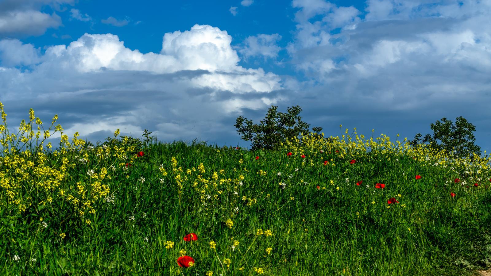
BarcelonaThe passage of a line of instability reactivated showers and irregular storms on Thursday, although they were more irregular and localized than initially forecast. All of this is the prelude to a long May Day weekend that is proving to be very changeable and with new irregular showers in some areas, although nowhere near everywhere. A typically spring instability situation that will continue next week, with temperatures that will be dropping and normalizing.

Friday: new rains
This Friday, the May 1st holiday, we will start the new month with again changing and variable weather, with dust in suspension and intervals of clouds that will circulate throughout the country. During the morning there will be more cloudiness south of the Terres de l’Ebre, where some showers will escape, especially in the Els Ports area. The sea wind will strengthen and will be noticeable mainly on the coast and in elevated areas throughout the day.
Throughout the day, precipitation will fall with a cloudy sky on the southern face of the Pyrenees and Pre-Pyrenees of Lleida, and in the afternoon showers and some storms will repeat in the Pyrenees and Pre-Pyrenees, especially in the western sector. Some scattered showers are not ruled out north of Central Catalunya and Ponent, as well as in the Els Ports area. In addition, throughout the day the sky will be cloudy with showers in the Valencian Country, and in the Balearic Islands some weak and local showers will fall.

In the rest of the regions, variability will be maintained, but with little risk of rain, without ruling out some local drizzles, especially on the coast and pre-coast. Temperatures will drop and the atmosphere will be less warm at midday. Morning coolness or mildness, and many highs from 21 to 26 °C.
Busy weekend
On Saturday, instability will be concentrated mainly in the western half and the Pyrenees. During the first part of the day, showers or drizzles may fall in the regions of Tarragona, Lleida, southern Barcelona, and the Valencian Country, and as the hours pass – especially in the afternoon – the showers will become concentrated in the Pyrenees, Pre-Pyrenees, and nearby areas, locally with thunderstorms. More clear skies and calm between Girona and Barcelona.
On Sunday, the weather will remain unsettled, with a risk of irregular showers and thunderstorms, especially in the afternoon, in parts of the Pyrenees, Pre-Pyrenees, the coast, and Los Puertos. In the rest of the areas, the sky will continue to be changeable, without ruling out some weak and local drizzle or shower. This instability will persist thanks to the presence of a small remnant of cold air at high altitudes that will fuel the growth of clouds.
All this with temperatures that will drop further this weekend, with less heat and more coolness. And next week it seems we can start with a more extensive round of showers and thunderstorms. A situation still uncertain that we will have to specify.
