A deep Atlantic storm will mark the weather for the coming days
Friday will be sunny, but the weekend will be lackluster and less cold

-
CAT -
CAST
BarcelonaThis Thursday's change in weather has brought us a lot of cloudiness, with scattered and light drizzles and showers. Very little in general, and the rainfall has not reached everywhere. However, in the Tarragona regions it has rained a bit more significantly, especially in Baix Ebre and Montsià, where records of between 10 and 15 l/m² have been reached. This Friday, sun and calm will prevail everywhere, with milder conditions at midday. But from the weekend on, we will be under the indirect effects of a deep Atlantic low-pressure system, with more cloudiness, little rain, and an increasingly mild atmosphere.

Friday: a day to make the most of
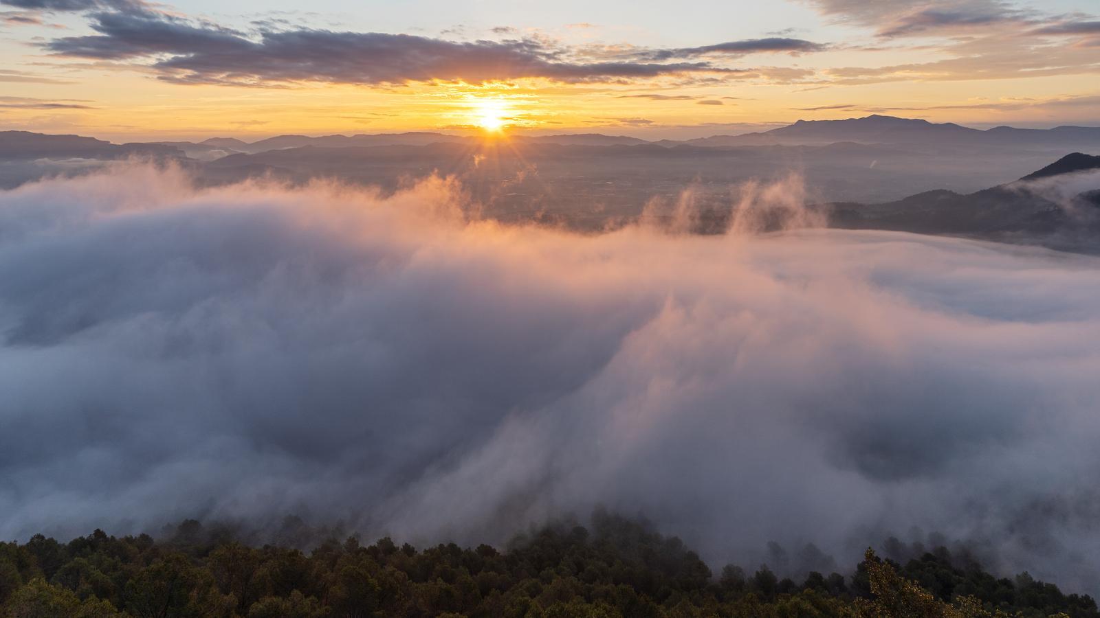
Friday will begin with a generally cold atmosphere, but by midday the mild weather will be more evident, with many highs of 15 to 20 ºC. Sun and calm will dominate in general, with only morning mist, some local coastal low clouds, and a few decorative wisps of thin clouds, especially in the Ebro region. It will be a peaceful day ahead of the weekend to take advantage of.

Dull weekend
A powerful Atlantic storm will mark the weather for the coming days. In the west of the Peninsula, a lot of rain is expected, which will be fueled by a maritime flow loaded with humidity that will have a long path from the Caribbean area. But in our region, its effects will arrive indirectly.
We are in for a weekend of variable or partly cloudy skies due to a notable increase in cloud cover. But very little rain is expected. Only a few scattered drops or weak showers will arrive, moving at high speed from west to east, most likely on Saturday. It is possible that next week the instability will increase and more significant rain will arrive.
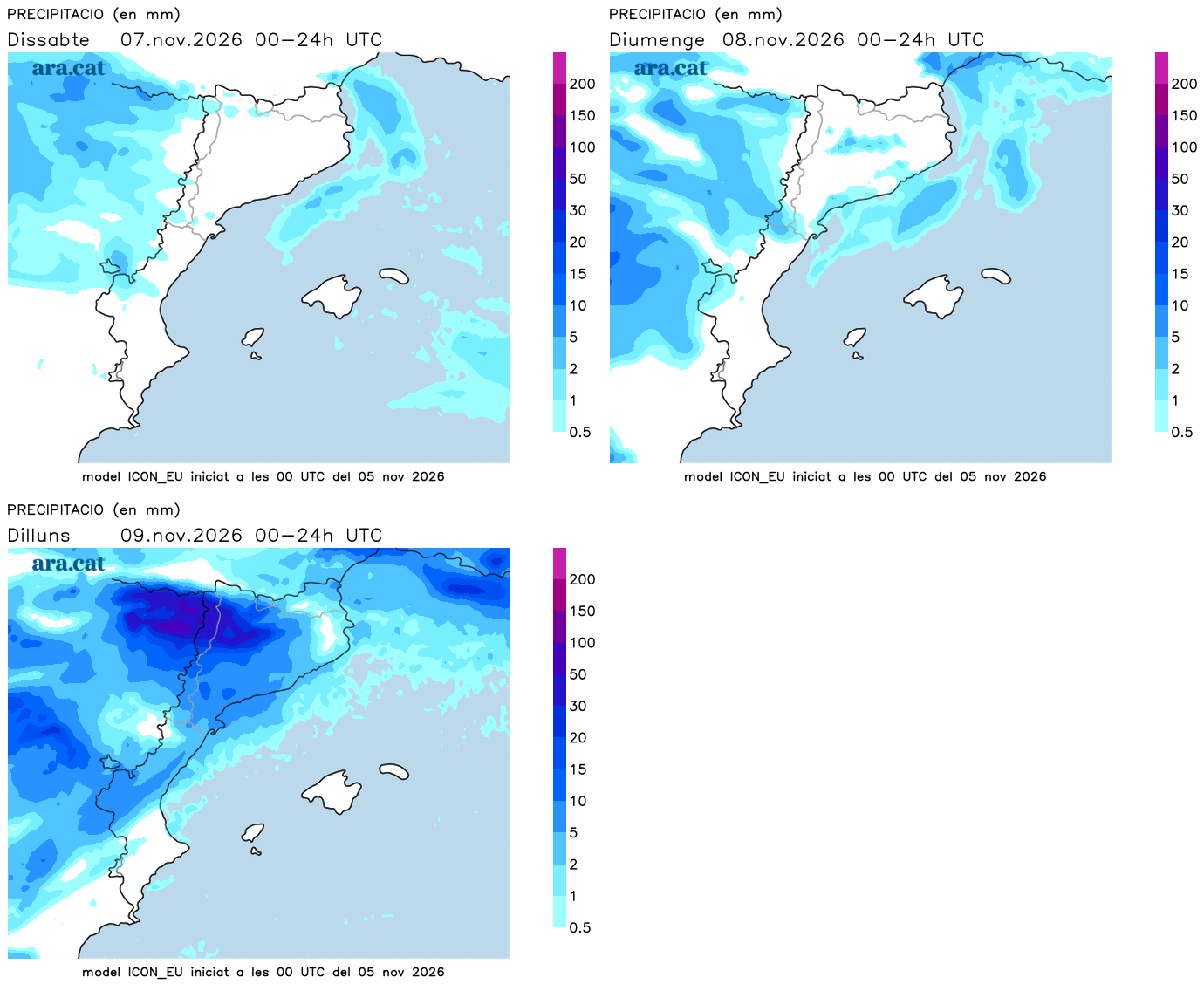
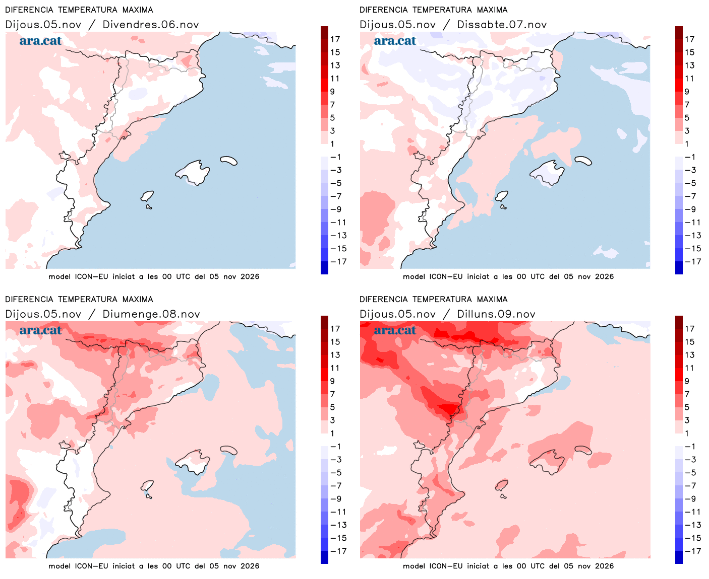
All this with temperatures that will tend to rise, especially starting Sunday, and particularly at the beginning of next week. The counter-clockwise rotation of this low-pressure system –located off the west coast of the Peninsula– will push warmer south-westerly winds that will sweep away the cold air mass of the last few days. Therefore, we can expect cooler conditions at night and quite mild afternoons.