The storm of the beginning of October was an "unprecedented" tropical cyclone attempt in the Mediterranean
The high temperature of the seawater favored this extraordinary episode of torrential downpours

-
CAT -
CAST
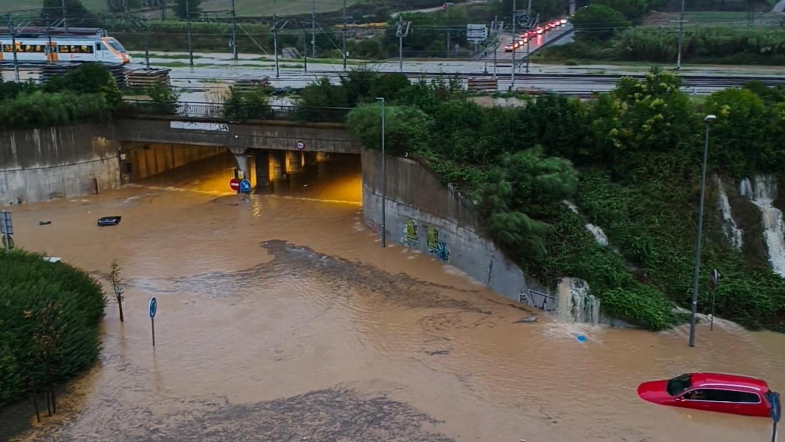
BarcelonaThe heavy rainfall storm that affected Catalonia on October 3rd and 4th could have been much more than an episode of strong storms. An analysis published on the official blog of the State Meteorological Agency (Aemet) points out that the powerful mesoscale convective system that developed off the Catalan coast showed signs compatible with an attempted formation of a tropical cyclone, a process that "had not been documented until now in the Mediterranean," as highlighted in the same work. In fact, the storm forecasts already indicated the possibility of the formation of a medicane —a Mediterranean mini-hurricane—, although it ultimately did not happen.
The study, prepared by researchers Juan Jesús González-Alemán and Carlos Calvo-Sancho, from Aemet and the Desertification Research Centre (CIDE) respectively, combines satellite and radar observations with high-resolution meteorological simulations. The results point to a key factor that explains it all: the temperature of the western Mediterranean was then about 2.5 °C above the average for the 1991-2020 period.
To check to what extent the warm sea had favored the storm, the researchers ran five simulations with the Harmonie-Arome meteorological model, used by Aemet, modifying the sea surface temperature while maintaining the same initial atmospheric conditions. When the model reproduced the observed marine temperature, it generated a compact storm system, between 200 and 250 kilometers in diameter, similar to the one observed. Conversely, when the sea temperature was reduced to normal climatological values, the system did not manage to form and the precipitation decreased notably.
According to the authors, this reinforces the hypothesis that the excess heat of the Mediterranean was "decisive." Warmer water favors evaporation and provides more humidity and energy than normal to the storms, which can facilitate their organization and the development of a cyclonic circulation.
Signs of a cyclone attempt
Satellite images showed a large, compact cloud mass, while radar data from Barcelona on October 4th indicated curved precipitation bands and possible signs of cyclonic rotation. In other words, consistent with the behavior and movement characteristic of a cyclone. Simulations with the warm sea also reproduced a vortex that extended from mid-levels of the atmosphere to near the surface. All these indications are consistent with the early formation phases of a tropical cyclone.
The hypothesis is relevant, because normally medicanes develop from disturbances with cold air at altitude. In this case, however, the researchers suggest that the process could have started primarily from storms fueled by the warm sea, without any DANA or a similar scenario driving it directly, as usually happens. "It represents something unprecedented and without precedent: the warming of the Mediterranean could be opening a new path for cyclone formation that had not been considered in the region until now," the researchers state in the publication. During the episode, rainfall records were set in a few hours and more than 200 l/m² were recorded, especially in parts of the Barcelona coast and pre-coastal areas, with serious consequences.

Another episode that has been exceptional is the one recently suffered by the south of the Valencian Country with the DANA Dana, which has left historical records of more than 700 l/m². In this regard, Aemet meteorologist Benito Fuentes points out in a post on social media that the high temperature of the Mediterranean Sea—up to 3 °C higher than usual—favored the air accumulating more water vapor, a fact that contributed to intensifying the storm's rainfall by up to 20% compared to a scenario without this thermal anomaly. According to his estimates, a phenomenon of these characteristics that could previously happen every 100-500 years, in the context of the climate crisis can repeat itself every 2 or 10 years.
