Fairly usable weather today, but with exceptions in some regions
Showers will not appear everywhere, and temperatures will remain at bay.

BarcelonaAfter a very calm Tuesday, some very localized showers reappeared early this morning on the Barcelona coast and pre-coastline. Scattered and minor showers were reported in the northeast and nearby inland areas. However, calm and sunny conditions will continue to prevail in the south and west. Inland, and even in the Pyrenees, a jacket is needed. A mild heat wave will be with us for a few more days.
Wednesday: showers in some places
Until mid-morning, some very localized showers cannot be ruled out along the Barcelona coast. From mid-morning onwards and throughout the afternoon and afternoon, cloud cover will also develop in mountainous areas, possibly leaving a few showers between the Montseny and Ripollès regions, as well as in other inland areas of the northeast and the central pre-coastal region. The possibility of some showers reaching the Barcelona coast or the southern Costa Brava is not ruled out, but they will be very scattered and initially few.
Slightly unstable weather will occur in some regions, but calm and sunny conditions will prevail elsewhere. There will only be some cloudy patches in the Balearic Islands, with a few showers in northern Mallorca. Mistral and tramontana winds will continue throughout the early morning and morning in the Ebro and Empordà regions, with some strong gusts and rough seas. In the afternoon, they will disappear from the south and ease to the north.
Similar temperatures, with slightly higher lows and somewhat lower highs. In any case, a cool night and generally good sleep, with moderate heat in the middle of the day. Many highs of 24°C to 29°C are expected, lower in mountainous areas and higher in the west and inland south, where temperatures will again exceed 30°C without any extremes. Temperatures will rise in the Valencian Community and the Balearic Islands.
Few changes in the coming days.
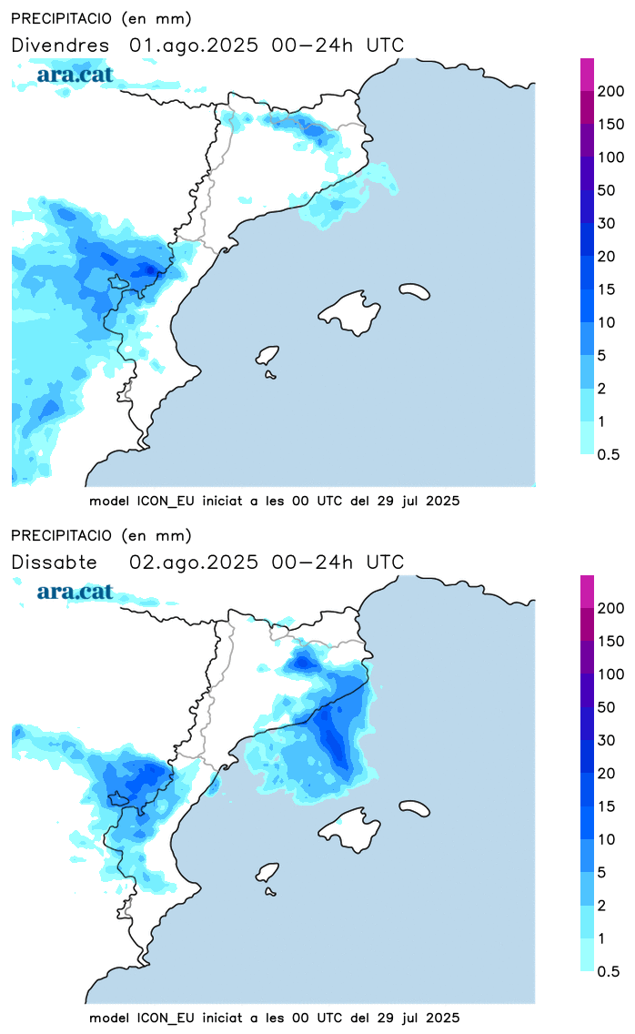
The weather will remain very similar for the rest of the week. A few showers will continue to appear in the center and north of the country, and will even gain ground starting Friday, the first day of August. The northerly wind will continue, and temperatures will see little change, with small fluctuations. Therefore, luxurious nights and bearable heat during the day, considering we are in the middle of the dog days.

