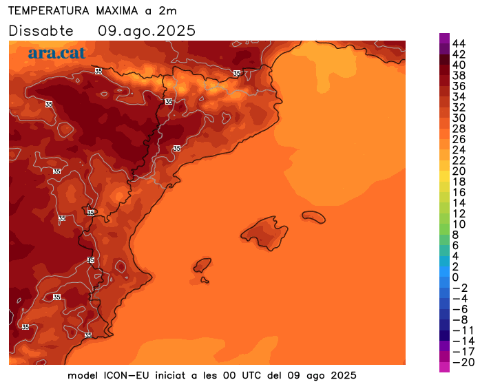
The mercury will rise even further: 41°C in the West and more than 39°C in the Northeast
The temperature will jump forward and will be very high everywhere.
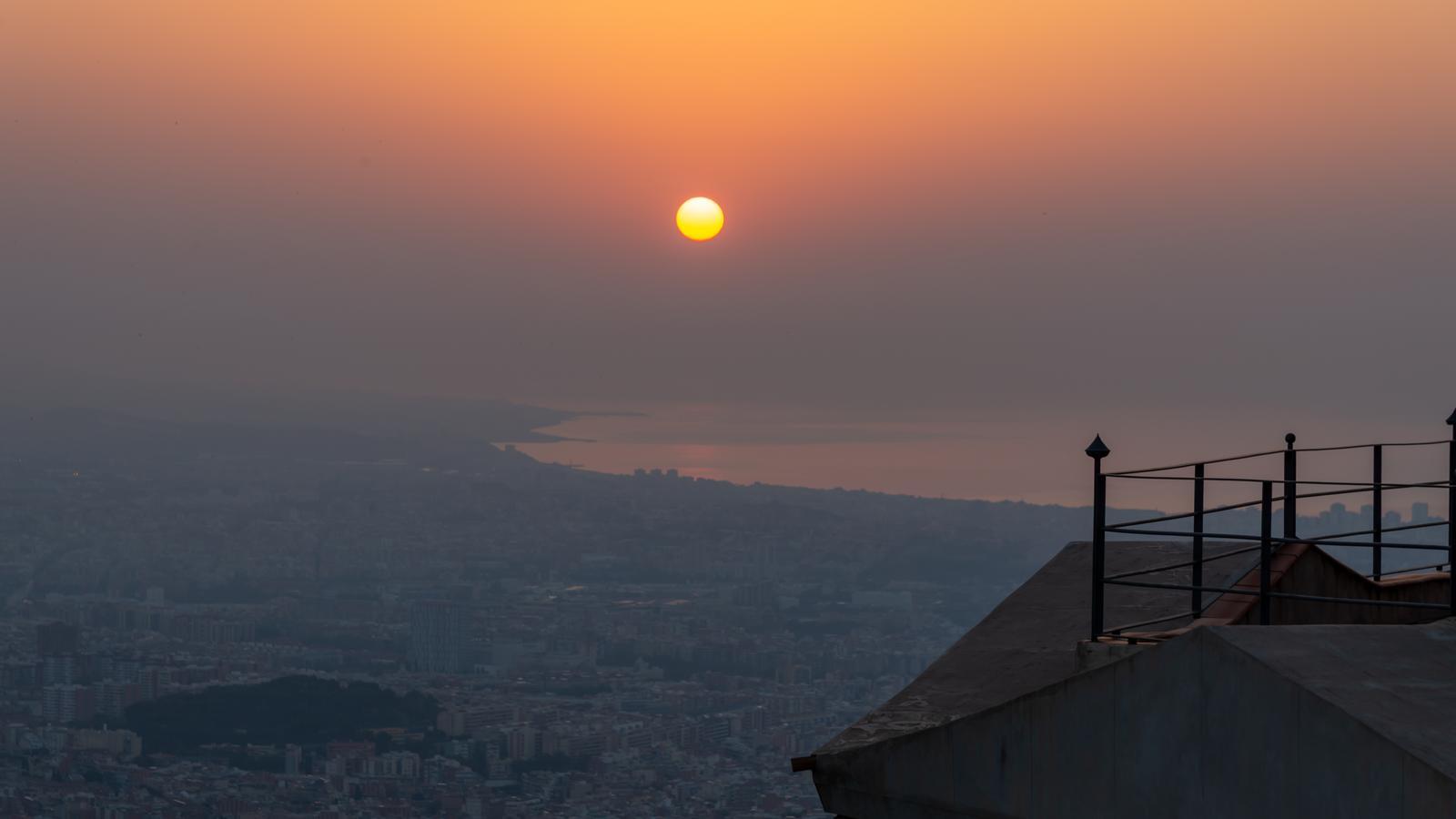

BarcelonaWe've started the weekend with very intense and widespread heat, a situation that will worsen on Sunday, when temperatures will be even higher and the second heat wave of the summer will continue in the Western regions. In the rest of the country, the heat will be very intense, but slightly below the thresholds established for this phenomenon. Afternoon showers will recur in the Pyrenees, especially in the western sector, and could reach the center of the country, but the sun will gain ground in the rest of the country. All this, therefore, with very high maximum temperatures and nighttime heat (you'll find the highest temperatures reached so far at the end of this report).

Sunday: the heat intensifies
The temperature increase will be especially evident in northern Catalonia and the Girona region, with highs that could approach or exceed 38 or 39°C in these areas, occasionally higher. This situation will also be repeated in the West and inland parts of the Ebro Valley, where these high temperatures have been recorded for days and where temperatures could again exceed 40°C. In the rest of the country, the intense heat will continue, with more sunny skies and some afternoon clouds in the western half of the country and the western Pyrenees, again with the risk of irregular showers that will move south and could reach central Catalonia or the pre-coastal region.

Monday: few changes
The week will begin with very similar weather to the weekend, marked by sunny weather in the morning and the possibility of some afternoon showers in the Pyrenees. Maximum temperatures will drop in the northeast but rise in the West, where they could reach 42°C. In the rest of the country, nighttime temperatures will be particularly noticeable, with widespread tropical lows (over 20°C) and scorching temperatures (over 25°C) along the coast and in some parts of the West.

A heat wave with a face and eyes in Ponent
The warm air mass from the south, which will send temperatures soaring, will be with us for at least the entire first half of August, with highs exceeding 39°C or 40°C for several consecutive days in the West and the Ebro Valley. Elsewhere, the heat will also be intense, with highs of 35°C to 38°C inland and 30°C to 34°C on the coast. The mercury could reach its highest values especially during the first half of next week, with a tendency to stabilize or cool slightly starting Wednesday.
Nighttime temperatures will also continue to rise, and tropical nights will become widespread along the coast and pre-coastal areas, also reaching other inland areas. Some torrid nights will even be recorded along the coast, one of the many areas of the country under a nighttime heat hazard warning.
Heat Outlook
Temperatures began to rise noticeably on Monday, but increased further on Tuesday, when some of the highest temperatures of the episode were recorded. After a brief lull between Wednesday and Thursday, the mercury jumped again between Friday and Saturday, once again exceeding 39-40°C in many places, especially in the West. These are the most notable temperatures of this latest episode of intense heat:
- Limiana: 40.8 °C
- Oliola: 40.6 °C
- Temper: 40.4 °C
- Albesa: 40.1 °C
- Lleida - La Femosa: 40.0 °C
- Serazo: 39.9 °C
- Vinebre: 39.8 °C
- Segre trough: 39.7 °C
- El Soleràs: 39.6 °C
- Baldomar: 39.5 °C
- La Pobla de Segur and Torres de Segre: 39.3 °C
- El Canoso: 39.2 °C
- Tàrrega, El Poal, Golmés and Os de Balaguer: 39.1 °C
- Torroja del Priorat: 39.0 °C
