Autumn disguised as summer: new heat peak in the coming days
Temperatures will remain clearly above average, with absolute calm

-
CAT -
CAST
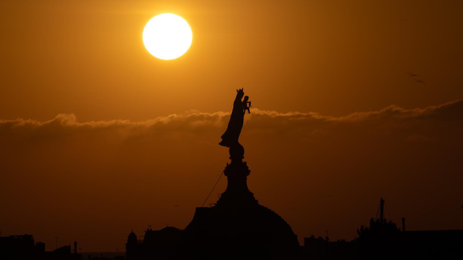
BarcelonaThis Wednesday has been the first official day of the astronomical autumn, which arrived at dawn. Despite the change of season, the truth is that the environment has remained very warm and atypically summery in the middle of the day, with many highs of 27 to 33 °C. The highest ones were recorded in the West and the Ebro valley, where 34 ºC were reached. And watch out because between Thursday and Friday the thermometers will rise again and there will be a new heat peak, with values running wild for the time of year. Only at night will we remember that we have already entered autumn, as it will remain cool due to the fact that the nights are getting longer, which allows thermometers to drop for more hours. All this with sun and calm thanks to the powerful anticyclone that embraces a large part of Europe. The weather maps do not predict changes until next week.

Thursday: hotter
This Thursday, La Mercè day and a holiday or the start of a long weekend for many people, especially in the Barcelona area, we will wake up with a morning chill that may even intensify a little more. Even so, in coastal stretches, some slightly tropical minimums will be repeated, especially in the city of Barcelona. One more day we will have to dress in layers, as in the middle of the day short sleeves will be essential.
The maximums will rise a little more, especially in the northeast, with summer heat atypical for these dates. Many values of 27 to 33 °C are expected, locally higher in areas such as the Girona pre-coastal region and the southern interior. All this with sun, calm, and few nuances. There will only be some fog or low clouds in interior valleys and on the coast, with some strokes of thin clouds, especially in the northern third of the country.

No changes for the rest of the week
On Friday thermometers will peak, with intense heat and full summer conditions generally. Many highs of 30 to 35 °C are expected, and they will be even higher in the southern interior and in the West. All this with anticyclonic calm that will also extend throughout the weekend. However, the entry of cooler maritime winds will cause temperatures to drop slightly on Saturday and Sunday.
The different meteorological models maintain that next week the anticyclone will move away, which will allow the entry of more cold air at altitude. All this will cause a progressive drop in thermometers and an increase in instability, with the reappearance of showers. But it will have to be confirmed.
