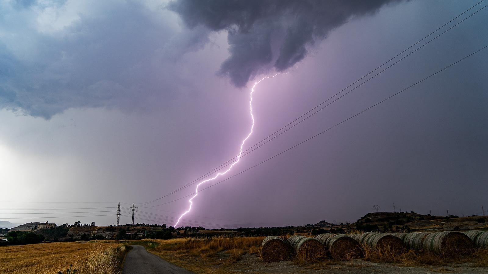
The Inuncat plan alert has been activated for strong storms starting tomorrow.
A cold air pocket will arrive on Wednesday, bringing showers, downpours and a clear cool down.

BarcelonaThe week has begun with a drop in temperatures. Both the muggy and the heat have clearly eased, and tonight's lows also dropped, with a cooler feeling and generally good sleep. Tropical lows have only been recorded in the south and on the coast, but with a markedly less heavy atmosphere. Today, Tuesday, calm will prevail, with only more clouds and some showers in the Ebro and the Valencian Community. Highs will rise slightly again, but it will be a day of stasis awaiting the change in weather tomorrow, Wednesday, when a pocket of cold air will arrive, significantly reactivating instability, with locally strong showers and thunderstorms.
Civil Protection has already activated the Inuncat plan alert, and Meteocat has issued warnings for heavy rain and possible downpours accompanied by violent phenomena in many regions, with accumulations that will locally exceed 40 l/m² in just half an hour, and up to 100 l/m². The main event will arrive on Wednesday afternoon, and the most affected areas will be the regions of Barcelona, Girona, Camp de Tarragona, the Pyrenees, and the Pre-Pyrenees. All of this will pave the way for a clear drop in temperatures. From then on, we can expect days of well-controlled, breathable heat, with little heat and cool nights. Below-average values will be a luxury for finding ourselves in the middle of the summer heat.

Tuesday: last day before changes
A fairly calm and sunny Tuesday is expected in most regions. The exception will be Terres de l'Ebre and the coast and pre-coast of Valencia and Castellón, where there will be quite a few low clouds throughout the day with the risk of some scattered light showers or downpours. There will also be low clouds in the morning in several places, especially along the rest of the coast and pre-coast, and in the afternoon, fairly harmless afternoon clouds will develop in mountainous areas. However, some isolated showers or downpours cannot be ruled out in the Pyrenees and inland northeast Spain.
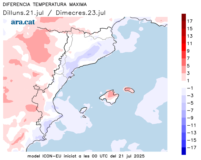
All this, with maximum temperatures falling in the Ebro and the Valencian Community due to the presence of more cloud cover and offshore winds. However, inland Catalonia and the Pyrenees, temperatures will rise temporarily, with more warmth but not extremes. Many temperatures range from 27°C to 33°C, highest in the West.
Weather change Wednesday
The arrival of a pocket of cold air will increase instability on Wednesday. Showers and thunderstorms will fall in many places, especially from the afternoon until early Thursday morning. They will be locally heavy and may be accompanied by hail, hail, or strong gusts of wind. The most significant are expected in the regions of Barcelona, Girona, the Pyrenees, Pre-Pyrenees, and Camp de Tarragona. Alerts are in effect in many regions for heavy rain.
A change in the weather will open the door to northerly winds and cooler air, causing a significant drop in temperatures. From then on, we can expect a few days with a relatively low heat, unusual for this time of year. There will be little heat on the coast, below-average temperatures, and cool nights for this time of year. A situation more typical of the last half of August than the end of July.