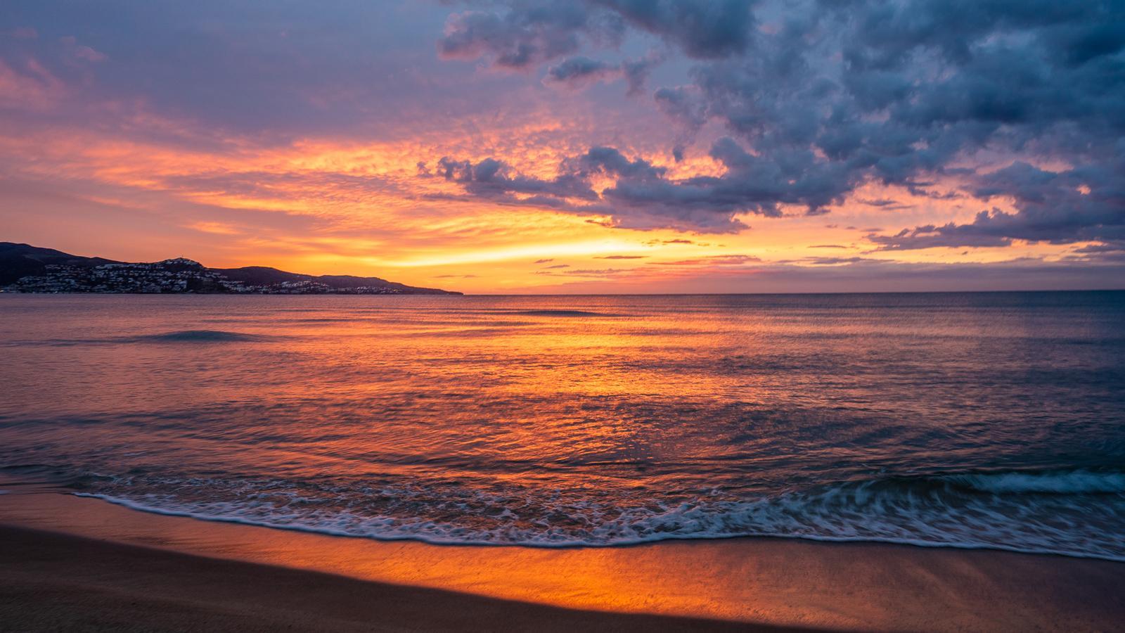
The sun will combine with high clouds on a warmer Sunday
During the afternoon of Sunday precipitation will arrive to the north slope of the Pyrenees

-
CAT -
CAST
BarcelonaThe calm of the last few days will continue into Sunday, after a cooler Saturday with a sky veiled by the presence of high clouds. On Sunday, the sun will try to break through, although bands of high clouds will still arrive that will not manage to cover it. Where there will be more clouds is on the northern Pyrenean slope, where some minor precipitation will arrive towards the afternoon. The coming week will continue to be marked by stability and by a temperature that will rise a little more.

Sunday: calm and rising temperatures
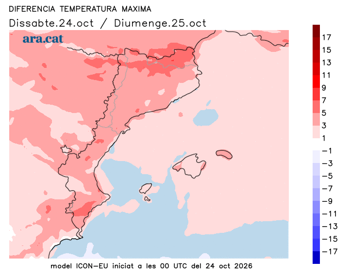
Sun and calm will dominate the last day of the weekend, and the first day of the new winter time. Remember that at 03:00 a.m. we will have to set the clock back one hour and it will be 02:00 a.m. again. A pleasant day to take advantage of, with only some decorative brushstrokes of thin clouds and some morning fog. From the afternoon and throughout the evening, some light precipitation may arrive on the north face of the Pyrenees, without further consequences, and with a quite high snow level. All this with temperatures that will rise further. An atmosphere that will be milder in the middle of the day, with many highs of 17°C to 23°C, locally higher in the Ebro valley.
Monday: few changes
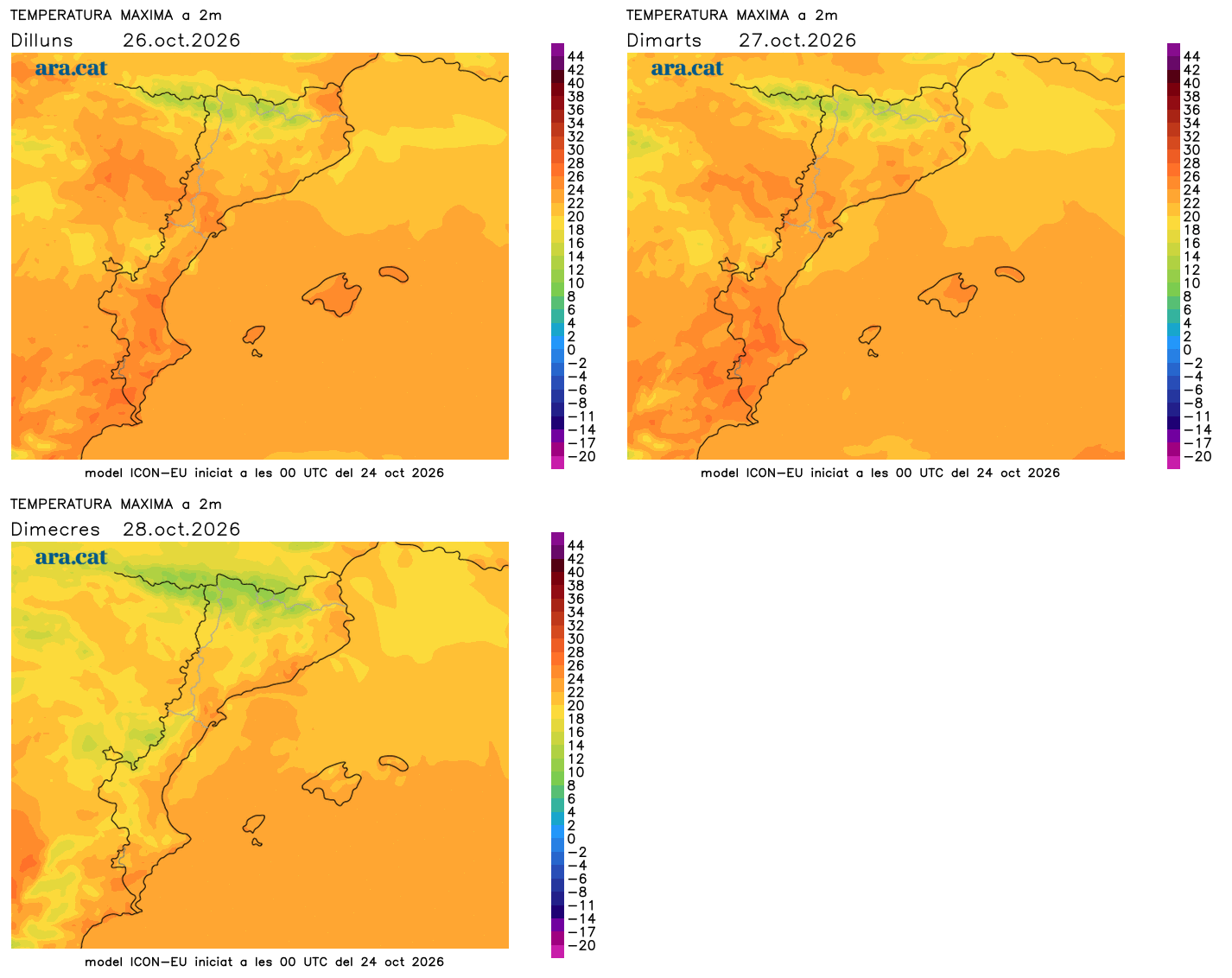
Start of the week with few variations regarding the meteorological situation, dominated by the anticyclone in our region but marked by the passage of storms and Atlantic fronts in many parts of the continent. This will mean we will once again have bands of high clouds combined with sun, apart from the appearance of some harmless low clouds. The temperature will rise a little more and some maximums will approach or exceed 25 °C, a prelude to a Chestnut Festival that is once again shaping up to be not very cold.