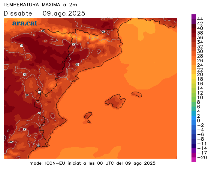
Up to 42°C or more: Extreme heat peaks today
Temperatures will begin to drop in Ponent on Tuesday, but no clear cooling is in sight.
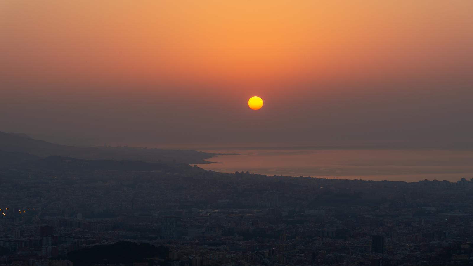
BarcelonaThe high temperatures of recent days will peak today. Thermometers will rise further, especially inland, reaching the peak of the second heat wave of the summer in the Ponent region, where temperatures could reach or exceed 42°C locally. In the rest of the country, the heat will be very intense, but slightly below the thresholds established for a heat wave. Afternoon showers will recur locally in the Pyrenees and Pre-Pyrenees, especially in the western sector, and could reach the center of the country, but the sun will dominate in most regions. Nighttime heat was also a key factor last night. All this amid persistent heat with no clear end (you'll find the data on the highest temperatures reached so far at the end of this report).

Monday: peak torrid
The week begins with very similar weather to the weekend, marked by sunny weather in the morning and the possibility of some afternoon showers in the Pyrenees. All this is accompanied by a suspended pulse from North Africa. Maximum temperatures will rise and peak in the West and inland Ebro, where they could reach or exceed 42°C locally. The temperature increase will also be felt in other inland regions, while in the rest of the country, maximum temperatures will remain similar, or even drop in the Alt Empordà. Many temperatures will range between 33 and 38°C. In any case, the atmosphere will remain hot, with temperatures well above average in all regions.
The rise in nighttime temperatures has also been particularly notable, with tropical minimums (over 20°C) across a wide area and torrid minimums (over 25°C) along the coast and in some parts of Ponent and the southern interior. It has been a tiring night, with poor sleep. Of note, for example, was the 29.1°C minimum recorded at the Fabra Observatory in Barcelona, where temperatures hovered above 30°C for much of the night. In the Raval neighborhood of the Catalan capital, temperatures also remained above 29°C, while in Portbou (Alt Empordà) the minimum was 28°C. Exceptionally torrid minimums have also been recorded along the Ebro and in higher inland areas, with 26°C at Montserrat and the Sanctuary of Queralt (Berguedà) being particularly notable.
Tuesday: Mercury relaxes slightly
There will be few changes in the weather for Tuesday, with very stable weather again dominated by intense heat and the possibility of afternoon showers in the Pyrenees and Pre-Pyrenees, which could be more widespread than in previous days. Temperatures will drop slightly, especially in the West, while on the coast the temperature will remain relatively unchanged over the coming days.

A wave of intense and persistent heat in Ponent
The very warm air mass from the south, which will send temperatures soaring, will be with us for at least the remainder of the first half of August, with highs exceeding 39°C or 40°C for several days in a row in Ponent and the Ebro Valley. Elsewhere, the heat will also be intense, with highs of 35°C to 38°C inland (specifically higher in the northeast) and 31°C to 35°C on the coast, with very muggy conditions and sleepless nights. Between Tuesday and Wednesday, the mercury could drop by 2 to 5 degrees in Ponent and other areas of the western half, but will see little change on the coast and pre-coast. Temperatures will continue to be clearly above average, and a significant general cooling down is not expected until at least next week.
Heat balance
Temperatures began to rise noticeably at the beginning of last week. From Friday through the weekend, the mercury jumped again, surpassing 40°C for the first time in this episode. Yesterday, Sunday, the highest temperatures of the heat wave were provisionally reached, approaching 42°C in Ponent and exceeding 40°C in many locations. These are the most notable temperatures of this new episode of intense heat:
- Vinebre: 41.9°C
- Temper: 41.0 °C
- Serazo: 40.9 °C
- Torroja del Priorat: 40.8 °C
- Ribarroja Reservoir: 40.7 °C
- Espolla and Masroig: 40.5 °C
- Aldover and Albesa: 40.3 °C
- Flails: 39.9 °C
