The strongest downpours dodge Catalonia, but the alert is maintained at night
The Government asks for prudence until Tuesday morning, when meteorological stability is expected to return

BarcelonaCatalonia is spending another night looking at the sky. The DANA DANA,which is sweeping through a good part of the Mediterranean and has left downpours and severe flooding this Monday at dawn in the Valencian Community, has also watered the Principality with storms that have been locally intense and that may last until early Tuesday morning. According to Civil Protection, the day has left significant records, such as 67 liters per square meter in Falset, but the situation experienced this Monday cannot be compared to that lived in Valencia and Alicante or two weeks ago in Catalonia, especially in the Vallès Oriental and Occidental and the Maresme. For the moment, the harshest episode of this cold drop has avoided Catalonia.
The message from Civil Protection, however, has continued to be one of caution for the citizenry. Also the president of the Generalitat, Salvador Illa, made a call in the evening to "not let your guard down." During the night and early morning, Meteocat forecasts intense rains that may very occasionally be torrential. The storm will move up along the coast and the pre-coastal area to the northeast of the country. But meteorological stability is expected to return on Tuesday morning.
Emergency services will continue to keep the Inuncat plan on alert until Tuesday morning. The 112 has received a hundred calls during the day this Monday, although none of any severity. The majority have been for minor water accumulations. "It is a risky situation, but of autumn, and we ask the public to be attentive, to try to avoid travel, and not to attempt to cross watercourses either on foot or by vehicle," stated the deputy director of Civil Protection, Sergio Delgado, this Monday evening.
In fact, the Government considered sending an ES-Alert in the afternoon if the rains started to become torrential. As the hours passed, however, Civil Protection ruled out this option. At the same time, the Catalan Water Agency (ACA) does not expect significant water level rises to occur at the headwaters of the rivers anymore.
Firefighter cuts and services
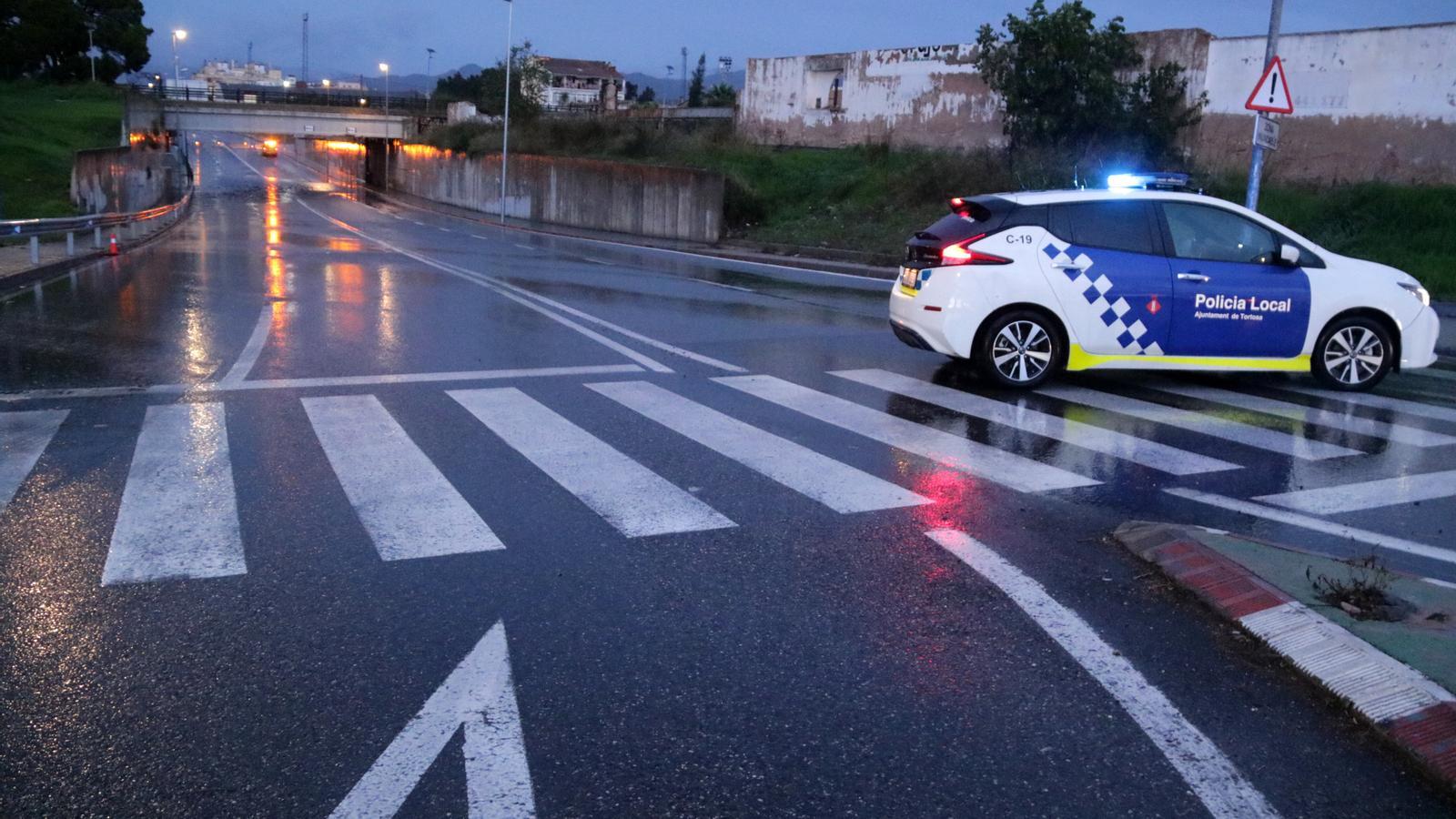
The most significant rainfall has affected the Terres de l'Ebre, and therefore, this territory has suffered the most considerable impacts. For example, the C-12 road has been closed in Tortosa due to flooding. In parallel, by the evening, the Fire Department had received 70 calls widely spread across the territory, none of which were serious, mostly for fallen trees or stuck vehicles. At 1:15 PM, three floor slabs and a load-bearing wall collapsed in a ground-floor plus three-story house in Sabadell, without causing any injuries. This incident occurred during a rainy period, but it cannot yet be linked to the downpours, according to Fire Department sources.
Also in Sant Cugat, a garden wall fell; in Jorba (Anoia), an abandoned house was checked to see if it might collapse, and in Lleida, several landslides were recorded on roads. On the other hand, the railway network has suffered some delays due to speed restrictions applied due to the storm, although there are no reports of any suspended train lines.
The head of forecasting at Meteocat, Santi Segalà, explained that warnings remain in place until tomorrow morning at danger level 4, that is, an orange alert, in parts of the coast and pre-coast due to the possibility that torrential rainfall could be exceeded "in a limited way." Segalà highlighted that during the day some heavy intensity rains were recorded, such as the one that fell in Torredembarra, with 23 liters of water per square meter in 30 minutes, or the one in Les Cases d'Alcanar, with 16.4 l/m².
